The Sunshine Coast Trail
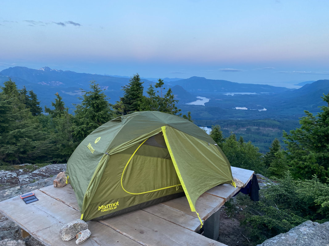
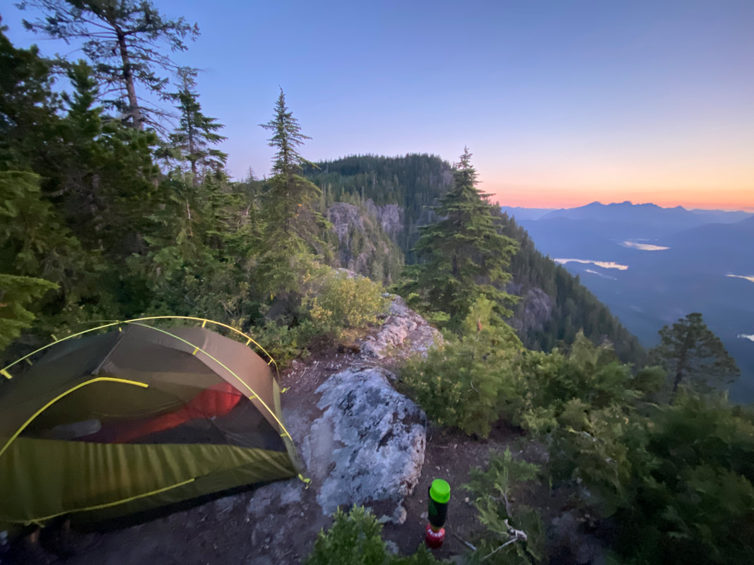
Our tent pad, near the summit of Tin Hat Mountain, on the Sunshine Coast Trail
Sunshine Coast Trail
Key Features:
- Requires no permits or reservations
- Cool huts are available to stay in along the trail
- Many entry and exit points
- Shuttle service available
- Trail truly goes from the sea to the mountains and back again
- Trail passes through active logging areas
- Requires no permits or reservations
- Cool huts are available to stay in along the trail
- Many entry and exit points
- Shuttle service available
- Trail truly goes from the sea to the mountains and back again
- Trail passes through active logging areas
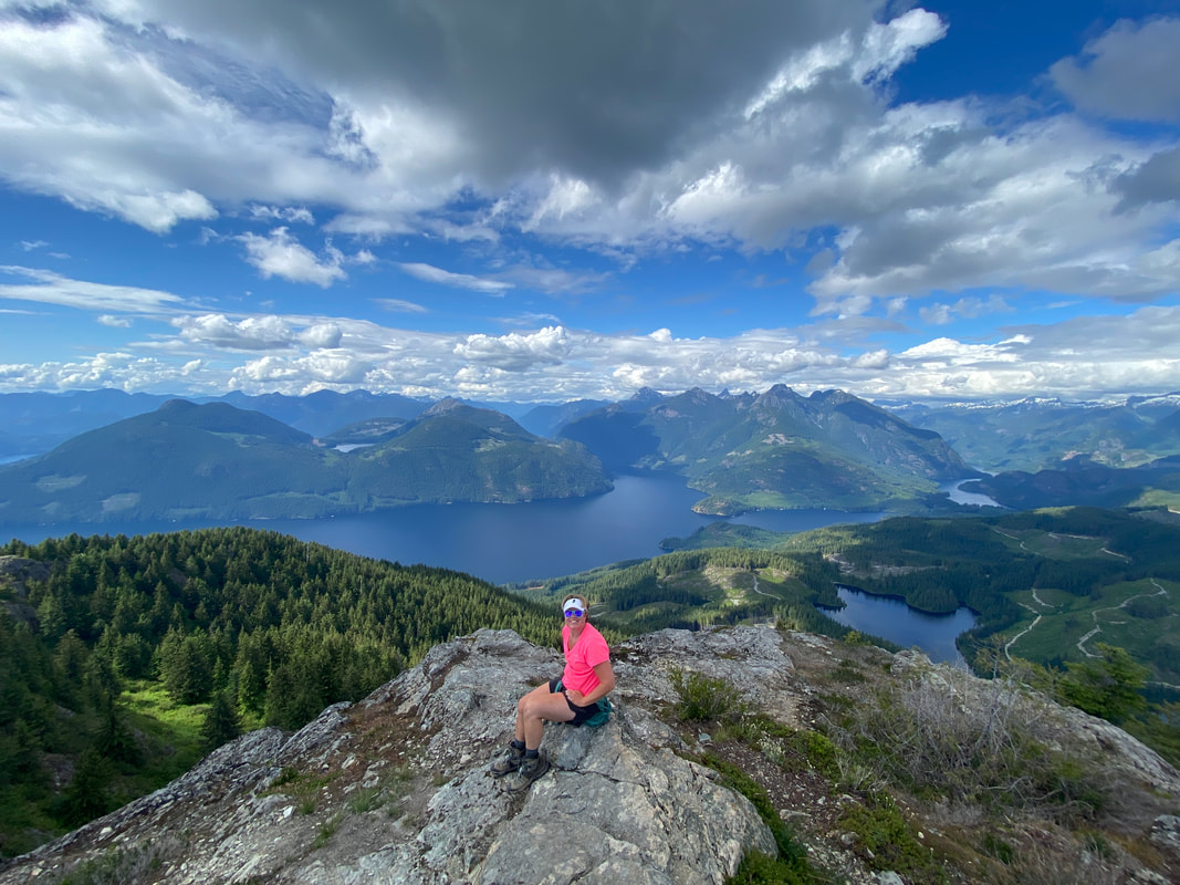
Views from Tin Hat Mountain, SCT
|
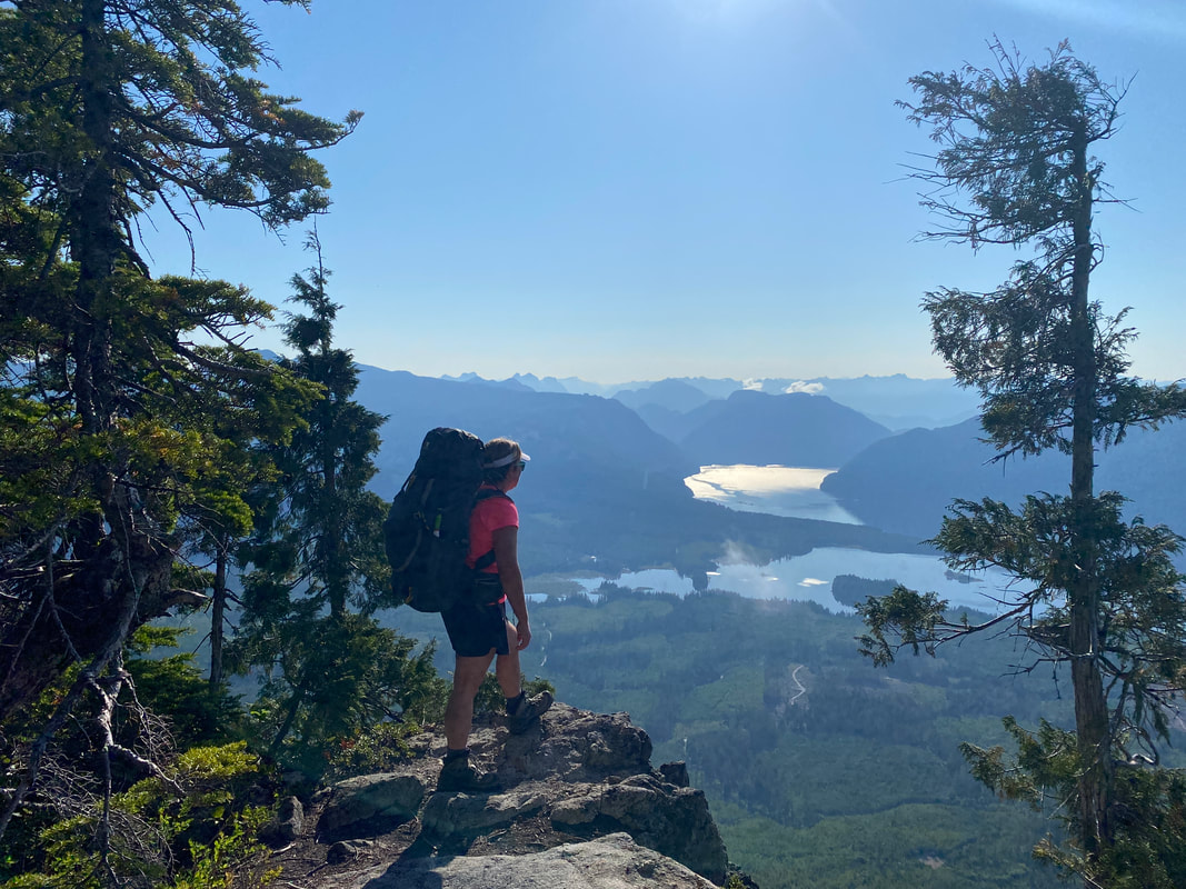
Overlook while climbing Walt's Hill, SCT
|
A great spot on Walt's Hill, SCT British Columbia
|
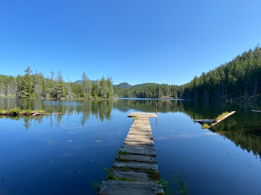
The dock at Little Sliammon Lake, SCT British Columbia
|
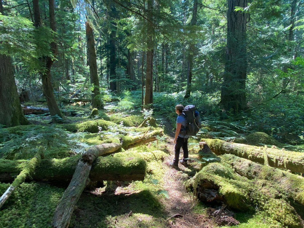
the lush mossy forest floor near on the North sections of the SCT British Columbia
|
The Sunshine Coast Trail
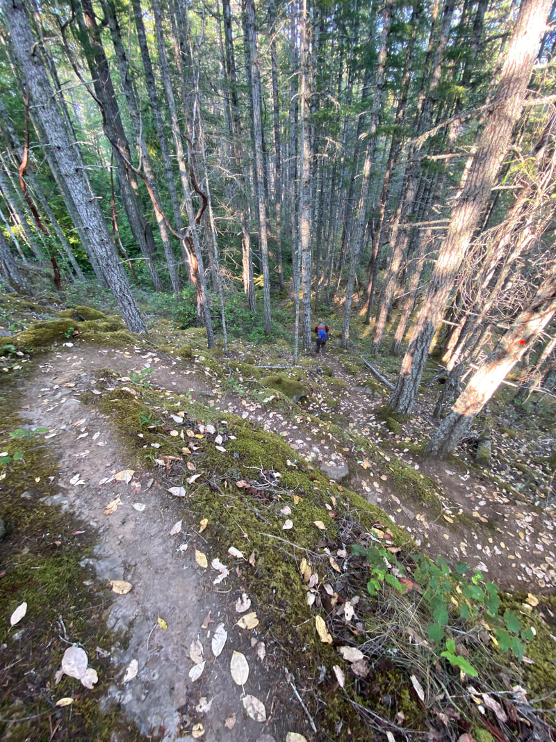
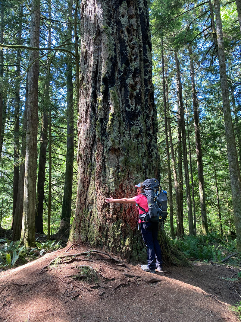
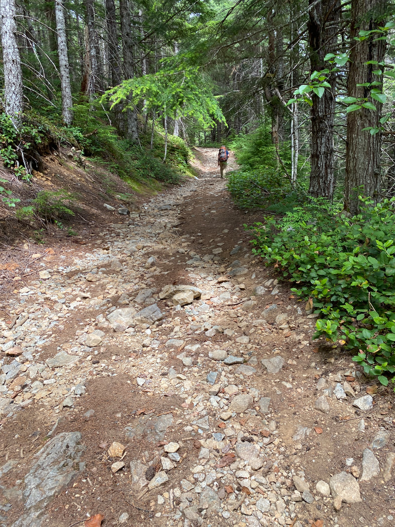
North of Vancouver, Canada and just across the Straight of Georgia from Vancouver Island lies a stretch of land known as the Sunshine Coast. This is a rugged area that can only be accessed via the water or air as the surrounding mountains block all road access. While it is on the mainland, it might as well be an island. Several small communities can be found in this area as well as a robust logging industry that harvests second growth Douglas firs and cedars from the coastal forests. It is in these forests that the Sunshine Coast trail is found. The SCT is 180 km (or 112 miles) long and has multiple huts along the trail. Maintaining this trail is truly a labor of love for the volunteers that live in the communities along the trail. It is marked better than any trail we have ever hiked, and was also one of the clearest trails we have hiked. The Powell River PAWs volunteers have done a top notch job on this trail. The huts they have built are clean, sturdy and have a loving touch of craftsmanship. However, don't mistake this for an easy trail. The trail literally starts on either end at sea level and then climbs over several 1,000 meters (3,000 feet) mountains, returning to sea level or close to it in-between each. It was rare to encounter level trail, and much of it is what many refer to as technical hiking, meaning you need to look to place each step because of incline/decline, rock, rubble, and roots. In many ways this trail reminded us of the Minong Trail on Isle Royale, but with much longer and steeper elevation changes. However, the hard work was totally worth it! The forest was incredible, the lakes were clear and warm, and the views were unforgettable. We hiked it in two sections based around the main town along the trail, Powell River. This town was build to support a large paper mill that recently shut down and is working to reinvent itself. We found it had everything we needed. We hiked the first third from Sarah's Point back to Powell River, rested a day, and then hiked from Lang Bay back to Powell River. This allowed us to see about 75% of the trail and do the portion that those who have hiked the whole trail consider the most scenic. You can find detailed information about this hike in the blog broken down day by day.
During the first four day section the Sunshine Coast Shuttle Service dropped us off at Sarah's point and we hiked back to Powell River. (North to South)
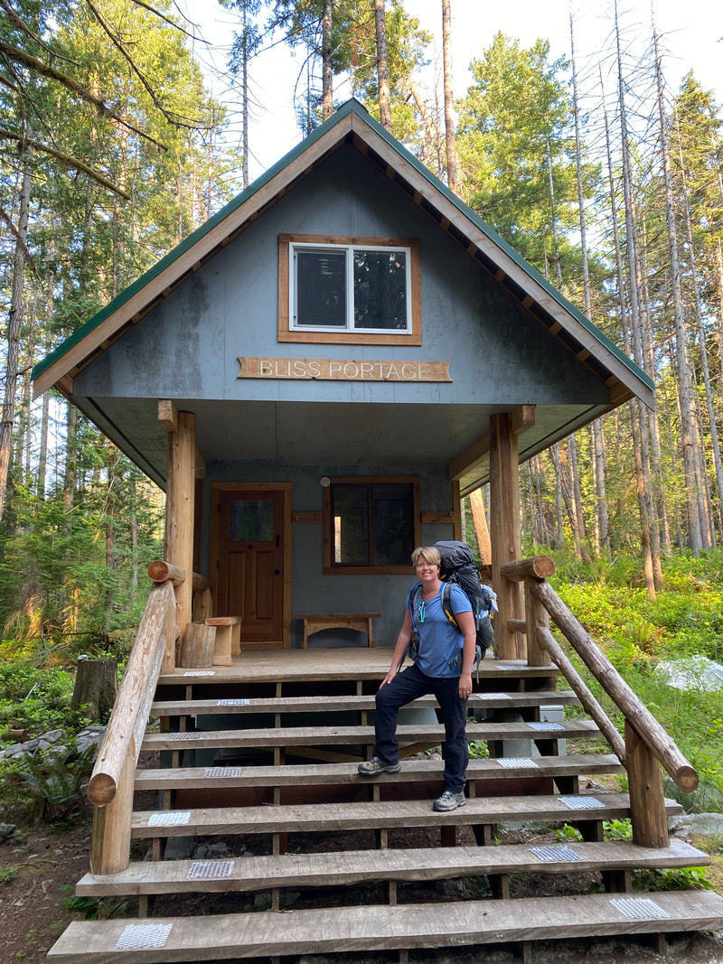
Day 1- Sarah's Point to Bliss Portage
Day 2 - Bliss Portage to Manzanita Bluffs
Day 3 - Manzanita Bluffs to Appleton Creek
Day 4 - Appleton Creek to Powell River
After getting a shower, hot meal, and a good nights rest we began the second section of the trail from Lang Bay (Dixon Road trail head) back to Powell River (South to North)
Day 5 - Dixon Road to Walt Hill
Day 6 - Walt Hill to Elk Lake
Day 7 - Elk Lake to Tin Hat Mountain
Day 8 - Tin Hat Mountain to Fiddlehead Landing
Day 9 - Fiddlehead Landing to Confederation Lake
Day 10 - Confederation Lake to Anthony Island
Day 11 - Anthony Island to Powell River
If you are like us we check out everything along the trail including the berries
The berries of British Columbia
During the first four day section the Sunshine Coast Shuttle Service dropped us off at Sarah's point and we hiked back to Powell River. (North to South)
Day 1- Sarah's Point to Bliss Portage
Day 2 - Bliss Portage to Manzanita Bluffs
Day 3 - Manzanita Bluffs to Appleton Creek
Day 4 - Appleton Creek to Powell River
After getting a shower, hot meal, and a good nights rest we began the second section of the trail from Lang Bay (Dixon Road trail head) back to Powell River (South to North)
Day 5 - Dixon Road to Walt Hill
Day 6 - Walt Hill to Elk Lake
Day 7 - Elk Lake to Tin Hat Mountain
Day 8 - Tin Hat Mountain to Fiddlehead Landing
Day 9 - Fiddlehead Landing to Confederation Lake
Day 10 - Confederation Lake to Anthony Island
Day 11 - Anthony Island to Powell River
If you are like us we check out everything along the trail including the berries
The berries of British Columbia
Stairs are common on the trails, Red River Gorge, Kentucky
|
Double Arch Trail, Red River Gorge, Kentucky
|
Silver Mine Arch, Red River Gorge, Kentucky
|
Cliff face near Grays Arch, Red River Gorge, Kentucky
|