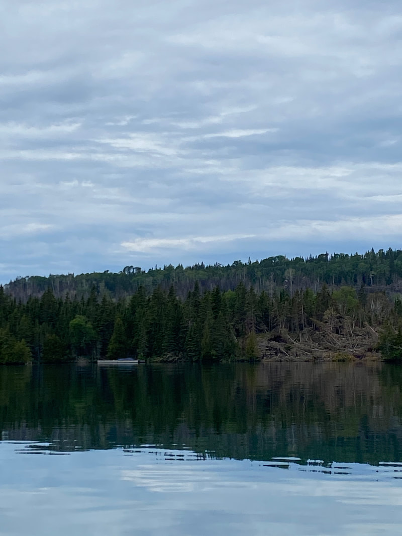
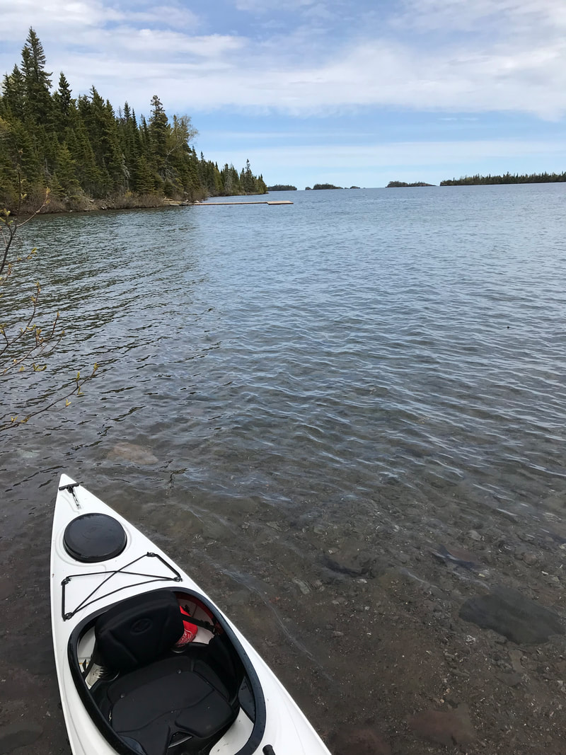
Kayaking Isle Royale National Park
This island in north west Lake Superior is one of the least visited US national parks. It measures 45 miles long by 9 miles wide and has 170 miles of hiking trails. It allows no motorized vehicles and is accessible only by ferry, plane, or boat. It is a backpacker and kayaker haven.
Key Features:
-Long distance paddles are possible
-Many portages are short
-Cold water, even in summer time
-Lake Superior weather and sea conditions
-Shelters at many campsites
-Long distance paddles are possible
-Many portages are short
-Cold water, even in summer time
-Lake Superior weather and sea conditions
-Shelters at many campsites
Weather is Everything
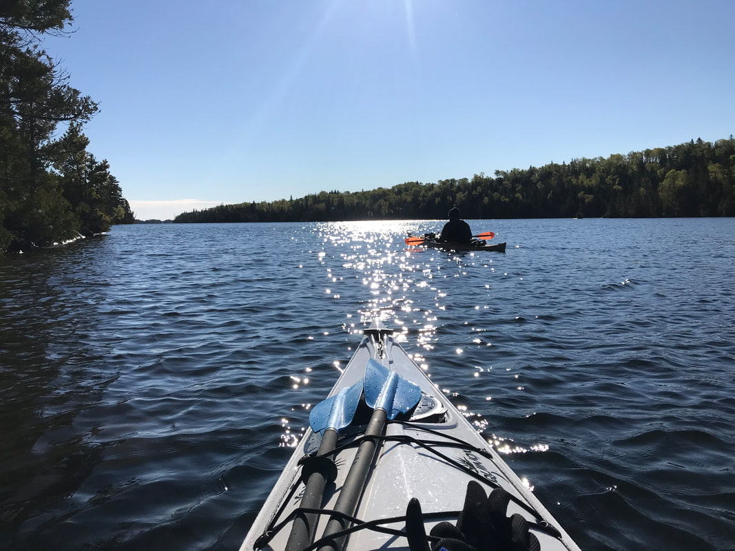
When scheduling trips to kayak big water like Isle Royale, weather is everything. Making sure to leave time time in your schedule to wait out weather is key. Our philosophy is to prep numerous options and have a game plan, but maximize your primo weather days when you can. We intended to take a full 5 days in the 5 fingers area, but had some great days upon our arrival and ended up paddling all of our goal spots by the 3rd day. This enabled us to hop over to the other side of the island and tag on Rock Harbor as well. It was there that the weather caught up with us and we had a rained in day on Caribou Island, but all in all we paddled quite a bit more than intended. Flexibility is critical to get the most out of big trips that must be planned out months in advance when gambling on weather conditions.
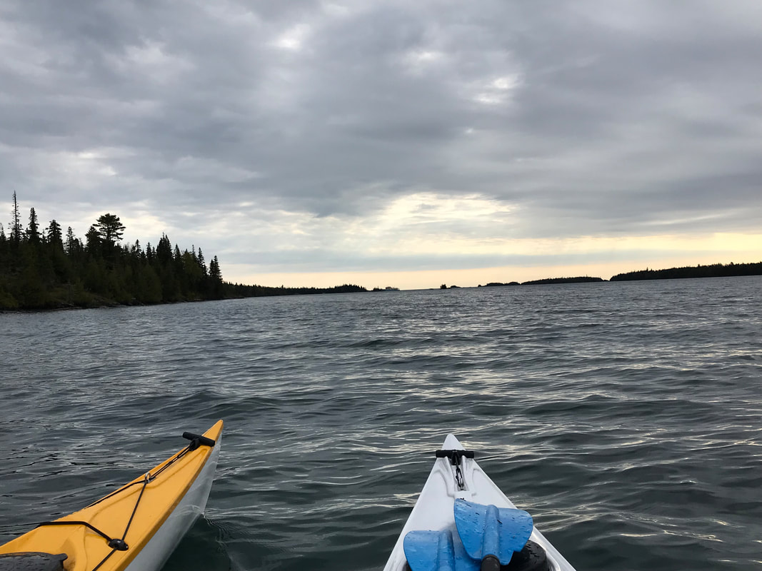
When paddling Lake Superior, or any body of water connected to it, always consider the wind-speed, direction, temperature, and sea conditions. Lake Superior can be very dangerous and conditions can appear different on land than in the water. This shocked us. What appeared to be light wind or swells near land was actually 2-3 times bigger further from shore when you've already committed to a crossing. Or, a pleasant paddle on one day can be a very dangerous or impossible paddle under different weather conditions. Know your skill level, and when in doubt, don't paddle. 36 degree water is not worth a spill.
When paddling Lake Superior, or any body of water connected to it, always consider the wind-speed, direction, temperature, and sea conditions. Lake Superior can be very dangerous and conditions can appear different on land than in the water. This shocked us. What appeared to be light wind or swells near land was actually 2-3 times bigger further from shore when you've already committed to a crossing. Or, a pleasant paddle on one day can be a very dangerous or impossible paddle under different weather conditions. Know your skill level, and when in doubt, don't paddle. 36 degree water is not worth a spill.
Kayaking Isle Royale
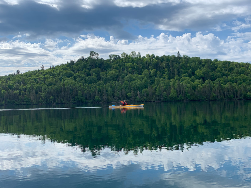
Tobin Harbor
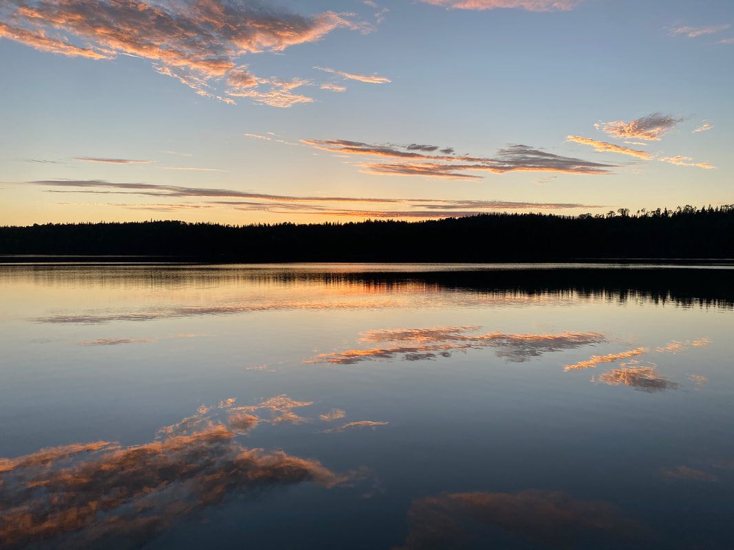
Sunset on Tobin Harbor, Isle Royale National Park
Tobin Harbor
Key Features:
-Easy access to Rock Harbor
-Canoe and kayaks available for rent from the Lodge
-Typically calmer water than Rock Harbor
-Many Islands to explore
-Water slightly warmer than the main lake, but still dangerously cold
Key Features:
-Easy access to Rock Harbor
-Canoe and kayaks available for rent from the Lodge
-Typically calmer water than Rock Harbor
-Many Islands to explore
-Water slightly warmer than the main lake, but still dangerously cold
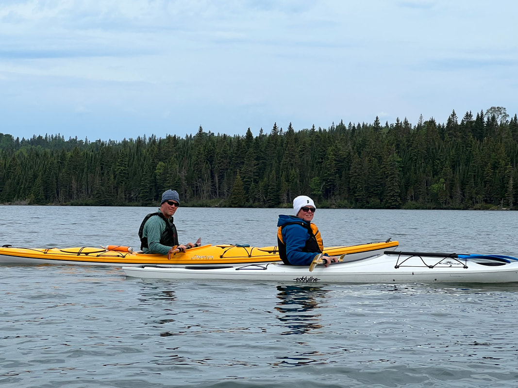
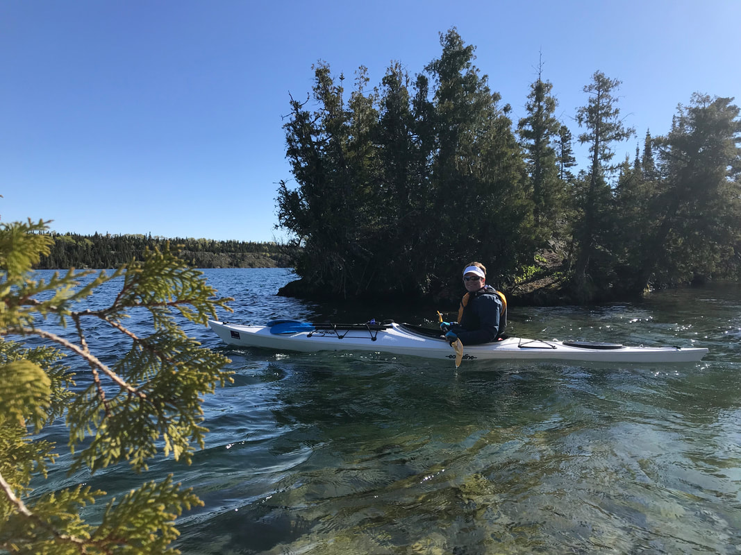
Checking in with my paddle partner on Tobin Harbor, Isle Royale
|
Looking west down Tobin Harbor, Isle Royale
|
Looking east out of Tobin Harbor into the big lake, Isle Royale
|
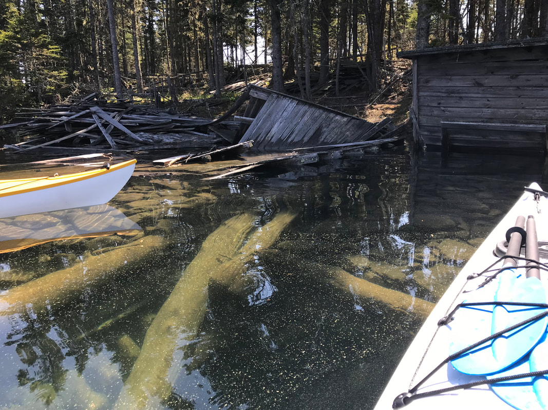
Check out the remains of a fishing camp on Tobin Harbor, Isle Royale
|
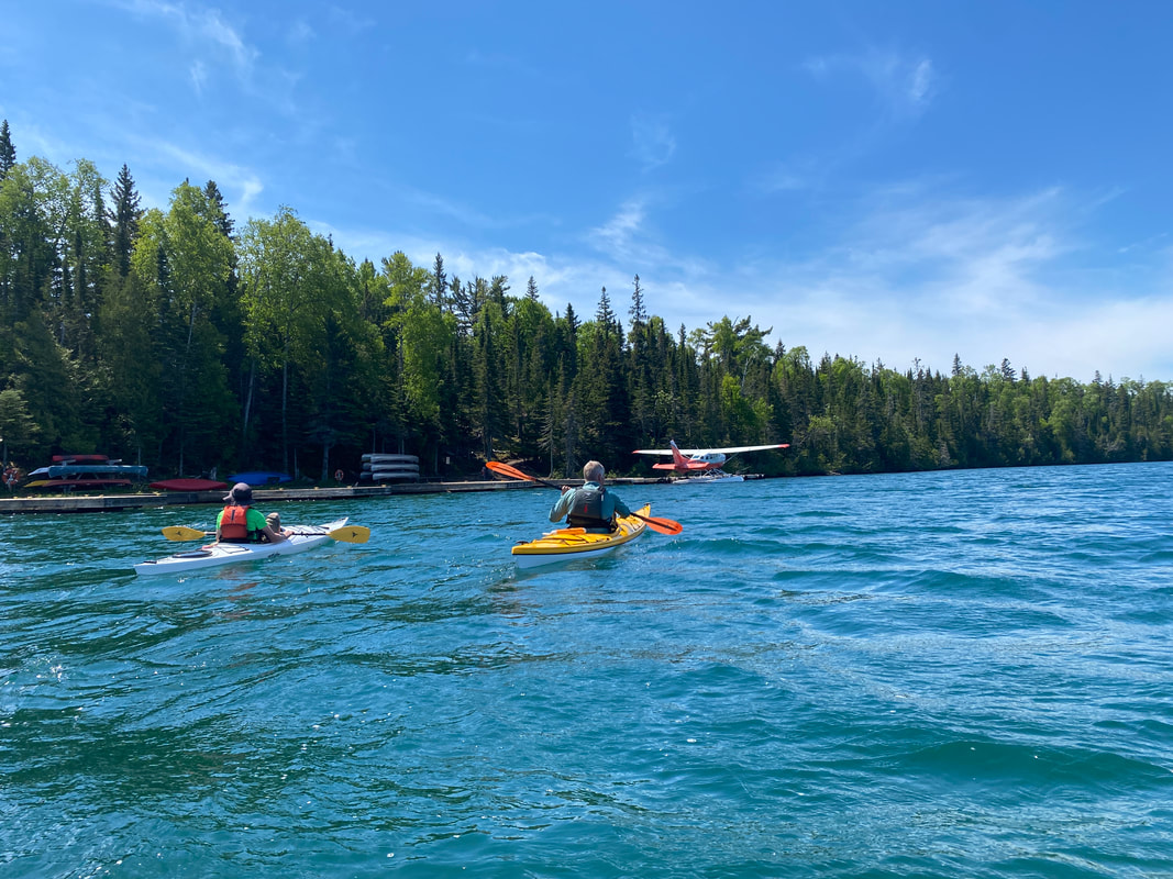
Tobin Harbor is also the sea plane landing area, Isle Royale
|
Tobin Harbor
At one time this secure and deep harbor was a docking area for passenger ships; now it is a great place for a paddle! The waters are calm and the views are great. There are just enough options in activities for a nice day paddle. You don't have the crowds of Rock Harbor, but there is float plane traffic, the day tour ferry 'The Sandy', and fishermen.
The short portage from Rock Harbor (and somewhat tricky put in near the sea plane dock) was worth the small effort, and this was one of the easiest and most rewarding day paddles we took.
Several old fishing camps and remains of cabins are present along the shore. Paddling to Lookout Louise is a short 2 mile paddle. At the dock you will find a pit toilet, a picnic area, and a short uphill trail to the top.
The Look Out Louise Trail will take you to the true eastern end of the Greenstone Trail and great views of the Five Finger area.
The Hidden Lake dock on Tobin Harbor, Isle Royale
|
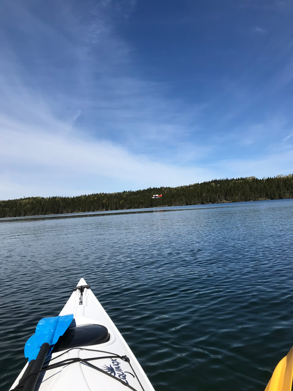
The sea plane coming in for a landing on Tobin Harbor, Isle Royale
|
The Horne Fire got very close to the Hidden Lake dock, Tobin Harbor, Isle Royale
|
|
|
|
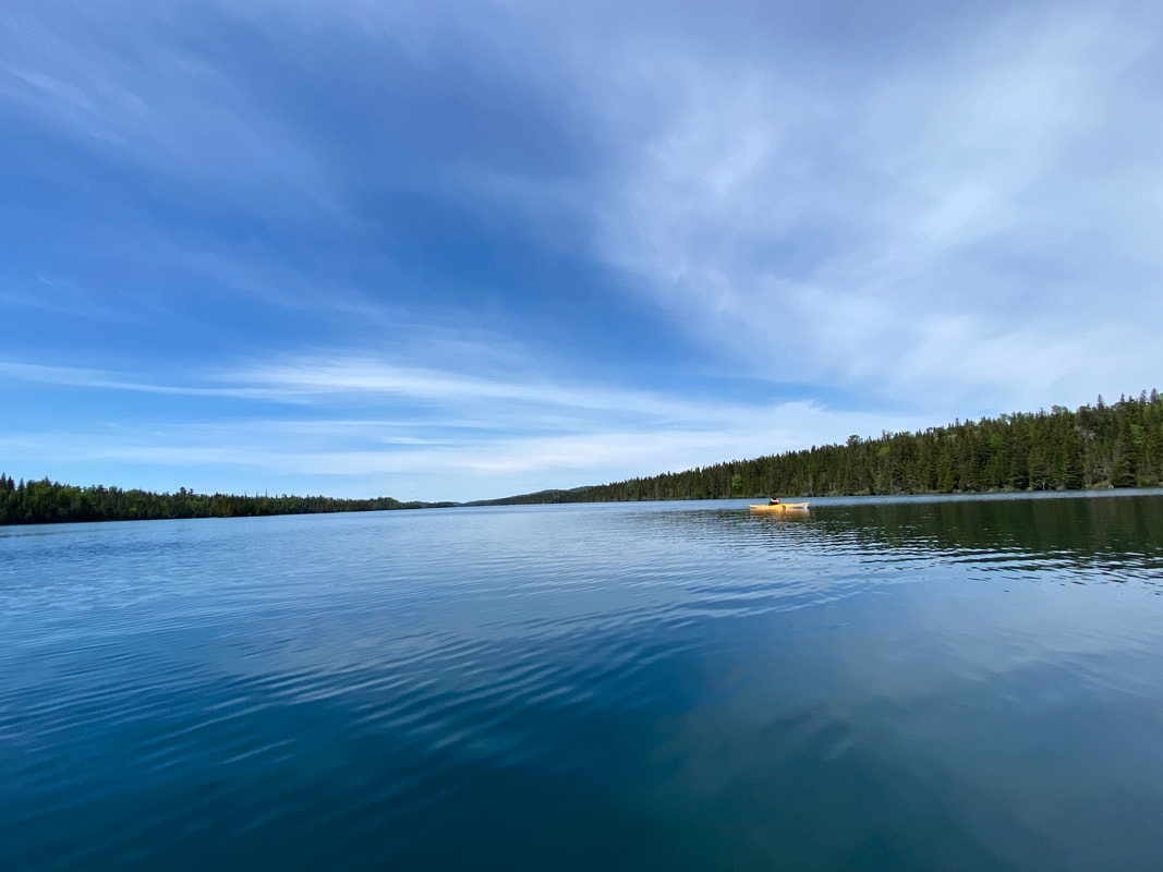
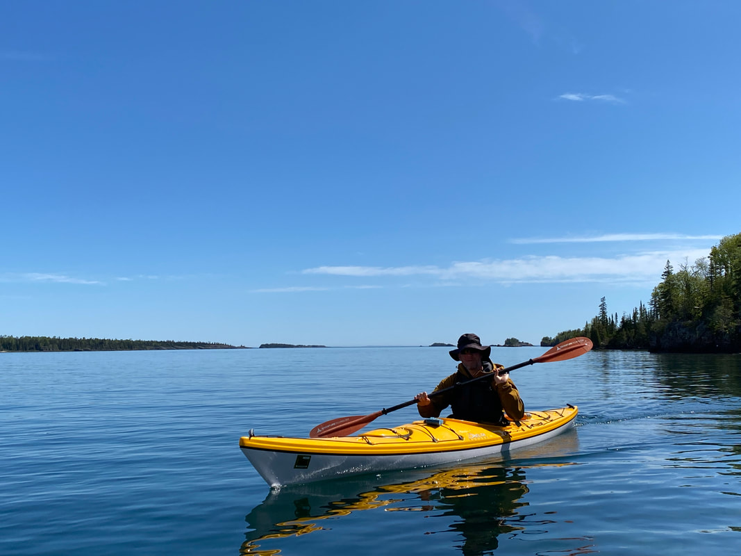
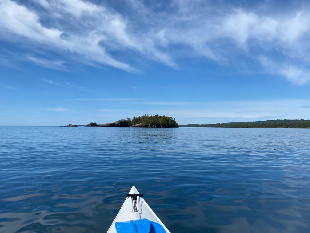
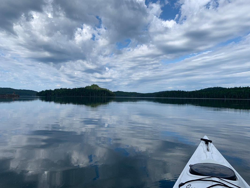
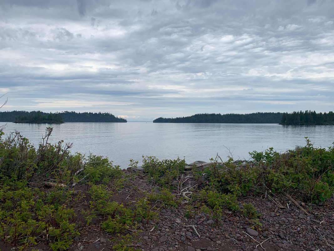
The Five Fingers
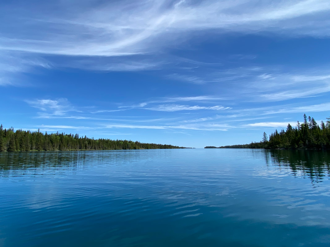
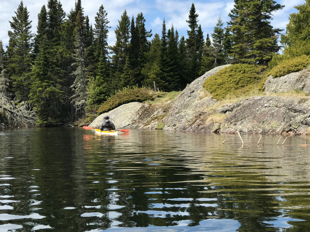
Paddling Stockley Bay, Isle Royale National Park
The Five Fingers
Key Features:
-Miles and miles of protected to somewhat protected water
-Multiple camping options
-Most portages are short and sweet
-Requires paddling Blake Point or arranging transportation around it
-Competition for the best sites by power boaters starting mid June
Key Features:
-Miles and miles of protected to somewhat protected water
-Multiple camping options
-Most portages are short and sweet
-Requires paddling Blake Point or arranging transportation around it
-Competition for the best sites by power boaters starting mid June
The Key Hole, separating the Amygdaloid channel from Robinson Bay, Isle Royale
|
Nearing the end of Pickerel Cove, Isle Royale
|
Rough water near Blake Point, with snow still on the island, Isle Royale
|
Landing at the Belle Island Beach, Isle Royale
|
Looking for the Tobin Harbor Portage, Isle Royale
|
The Five Fingers
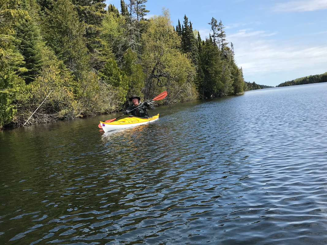
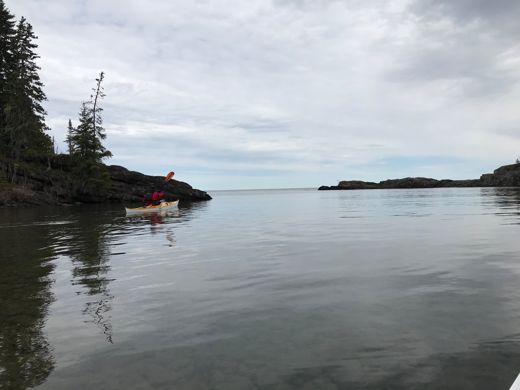
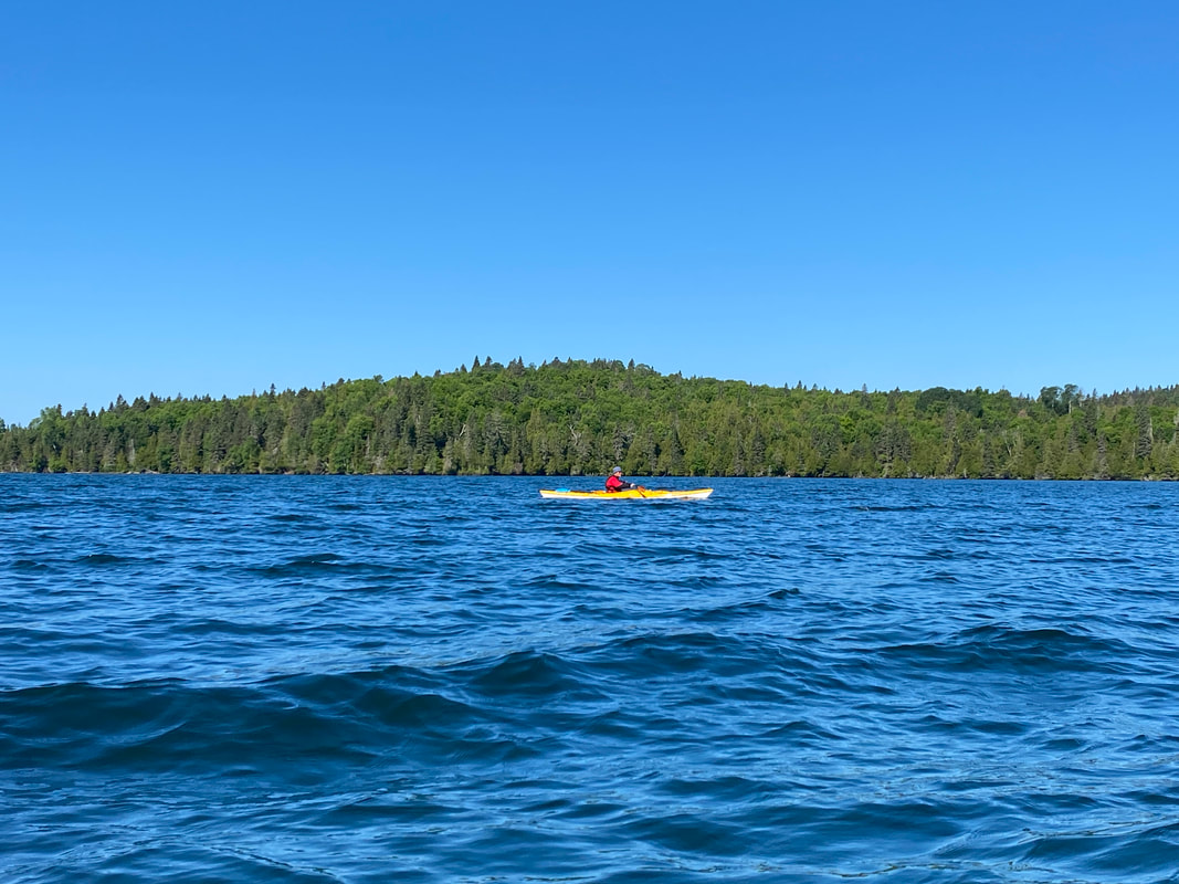
The Five Fingers area is one of the jewels of Isle Royale. Located on the north eastern area of Isle Royale, and gets its name from several long narrow bays. This is a less visited area of the island and offers a secluded paddle with fairly calm waters and a safer experience for moderate paddlers.
Paddlers can plan several routes with or without small portages, depending on your comfort with rounding the points into open water. A water taxi can be hired to transport your boats around some of the more challenging areas that require calm water for safe passage for most paddlers. We opted not to round Blake Point in the conditions during our visit, and it ended up being the right call. As our water taxi rounded Blake Point, it was evident the choppy, unpredictable current would have made a very nerve wracking and dangerous paddle.
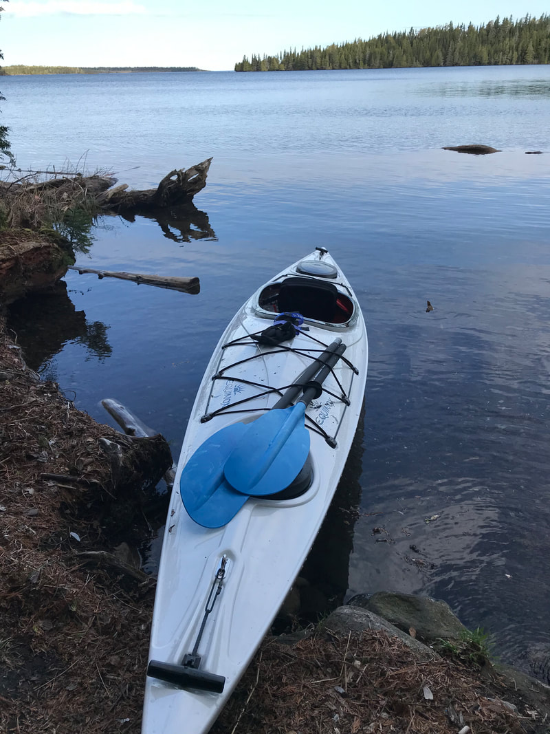
Duncan Bay is the first area many visit in the Five Fingers area. This bay has a narrow entrance that helps to keep the rough water out and a campsite nearby, the Duncan Narrows. A few miles down the bay is the Duncan Bay campsite. We loved this site and small dock. It had great views down the bay and great water fowl viewing, even though we never saw a loon at this site. Paddlers can make a short portage out of Duncan Bay into Five Fingers Bay and Stockley Bay. Stockley Bay has been easy paddling on smooth water every time we have paddled it. The narrow bays provide a interesting look on the island and helped us to appreciate how difficult the terrain of the island really is. Another short portage will take you from Stockley Bay to Lane Cove.
Lane Cove is large enough, and exposed enough to the big lake that it can get rougher that Stockley Bay. From Lane Cove a paddler can travel west toward Pickerel Cove or work around several small islands toward Bell Island. Bell Island is a very popular camping area and boat dock. It was even the site of a resort when steam ships would bring the wealthy out to Isle Royale to vacation. We meet some nice people on Bell Island, but it did not offer us the solitude we were looking for.
After a long paddle, we passed Belle Harbor and Robinson Bay to enter Pickerel Cove. Once again this long narrow cove provided ideal paddling conditions. A tent-only campsite is near the end of this cove, which we intended to stay at, but we decided the area did not offer as much as we had hoped and so we pressed on.
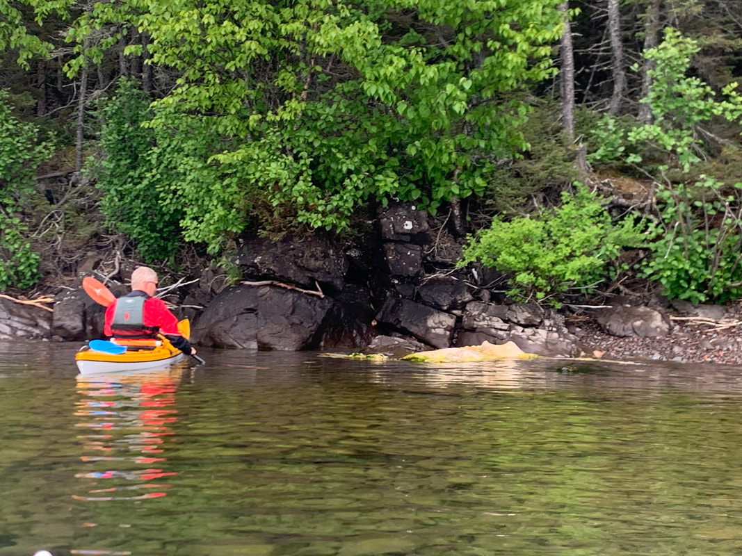
A short portage then landed us to Herring Bay. The section of paddling from Herring Bay, across a unnamed bay and around the Indian Head into McCargo Cove is fully exposed to the wind and waves of Lake Superior. While I am sure under ideal conditions a canoe could cross this stretch of water, I would not recommend it. Even in our long kayaks we found this stretch of water to be uncomfortable, wavy, and turbulent. Our first trip west was slightly uncomfortable, but the return trip was very choppy and we were glad to put our feet back on terra firma. Make sure your paddle has peak conditions, or you might find yourself trapped by the water conditions.
McCargo Cove, while not as narrow or protected as some other stretches of water, was still easy going. Birch Island, offered calm shelter from the Superior conditions and was just the place for us. We felt as if we had our own private Island. The sun was out, it was a warm afternoon, and was great place to relax and watch the wind, water, and birds. A paddler could continue about three miles down McCargo Cove to be picked up by the Voyager ferry or return back to Rock Harbor through the Five Fingers. We would recommend the return paddle as seeing the islands and cove from another direction really helped us understand the many coves, bays and islands. It also doubled the amount of time to explore all the this beautiful area of the island.
Paddlers can plan several routes with or without small portages, depending on your comfort with rounding the points into open water. A water taxi can be hired to transport your boats around some of the more challenging areas that require calm water for safe passage for most paddlers. We opted not to round Blake Point in the conditions during our visit, and it ended up being the right call. As our water taxi rounded Blake Point, it was evident the choppy, unpredictable current would have made a very nerve wracking and dangerous paddle.
Duncan Bay is the first area many visit in the Five Fingers area. This bay has a narrow entrance that helps to keep the rough water out and a campsite nearby, the Duncan Narrows. A few miles down the bay is the Duncan Bay campsite. We loved this site and small dock. It had great views down the bay and great water fowl viewing, even though we never saw a loon at this site. Paddlers can make a short portage out of Duncan Bay into Five Fingers Bay and Stockley Bay. Stockley Bay has been easy paddling on smooth water every time we have paddled it. The narrow bays provide a interesting look on the island and helped us to appreciate how difficult the terrain of the island really is. Another short portage will take you from Stockley Bay to Lane Cove.
Lane Cove is large enough, and exposed enough to the big lake that it can get rougher that Stockley Bay. From Lane Cove a paddler can travel west toward Pickerel Cove or work around several small islands toward Bell Island. Bell Island is a very popular camping area and boat dock. It was even the site of a resort when steam ships would bring the wealthy out to Isle Royale to vacation. We meet some nice people on Bell Island, but it did not offer us the solitude we were looking for.
After a long paddle, we passed Belle Harbor and Robinson Bay to enter Pickerel Cove. Once again this long narrow cove provided ideal paddling conditions. A tent-only campsite is near the end of this cove, which we intended to stay at, but we decided the area did not offer as much as we had hoped and so we pressed on.
A short portage then landed us to Herring Bay. The section of paddling from Herring Bay, across a unnamed bay and around the Indian Head into McCargo Cove is fully exposed to the wind and waves of Lake Superior. While I am sure under ideal conditions a canoe could cross this stretch of water, I would not recommend it. Even in our long kayaks we found this stretch of water to be uncomfortable, wavy, and turbulent. Our first trip west was slightly uncomfortable, but the return trip was very choppy and we were glad to put our feet back on terra firma. Make sure your paddle has peak conditions, or you might find yourself trapped by the water conditions.
McCargo Cove, while not as narrow or protected as some other stretches of water, was still easy going. Birch Island, offered calm shelter from the Superior conditions and was just the place for us. We felt as if we had our own private Island. The sun was out, it was a warm afternoon, and was great place to relax and watch the wind, water, and birds. A paddler could continue about three miles down McCargo Cove to be picked up by the Voyager ferry or return back to Rock Harbor through the Five Fingers. We would recommend the return paddle as seeing the islands and cove from another direction really helped us understand the many coves, bays and islands. It also doubled the amount of time to explore all the this beautiful area of the island.
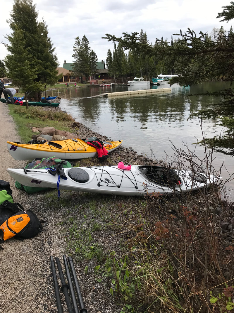
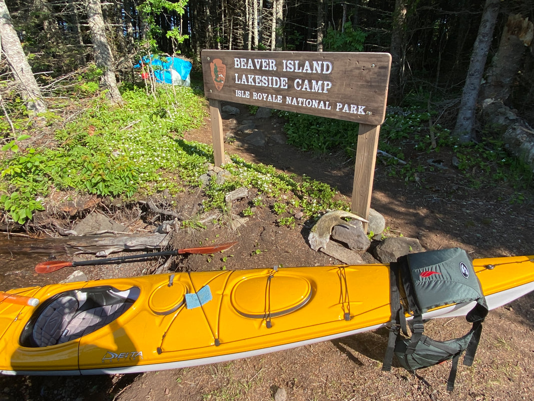
Getting ready to launch into Lane Cove, Isle Royale
|
The Lane Cove Portage trail, Isle Royale
|
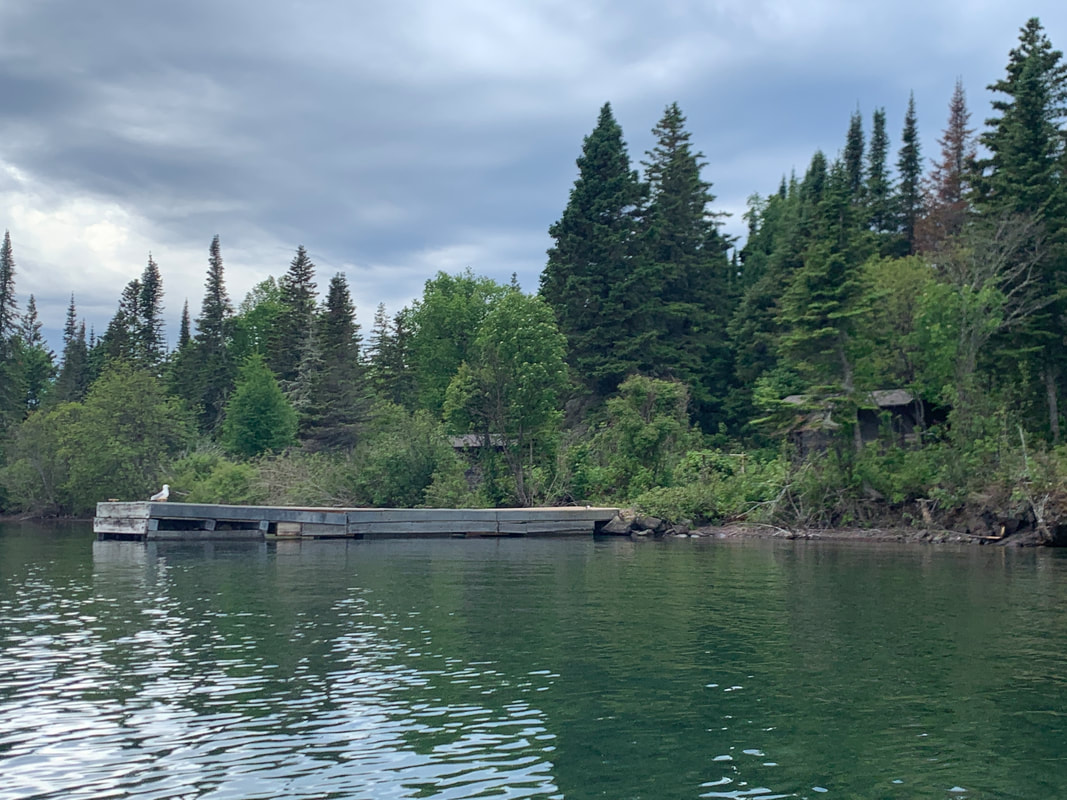
The Duncan Bay Dock, Isle Royale
|
|
|
|
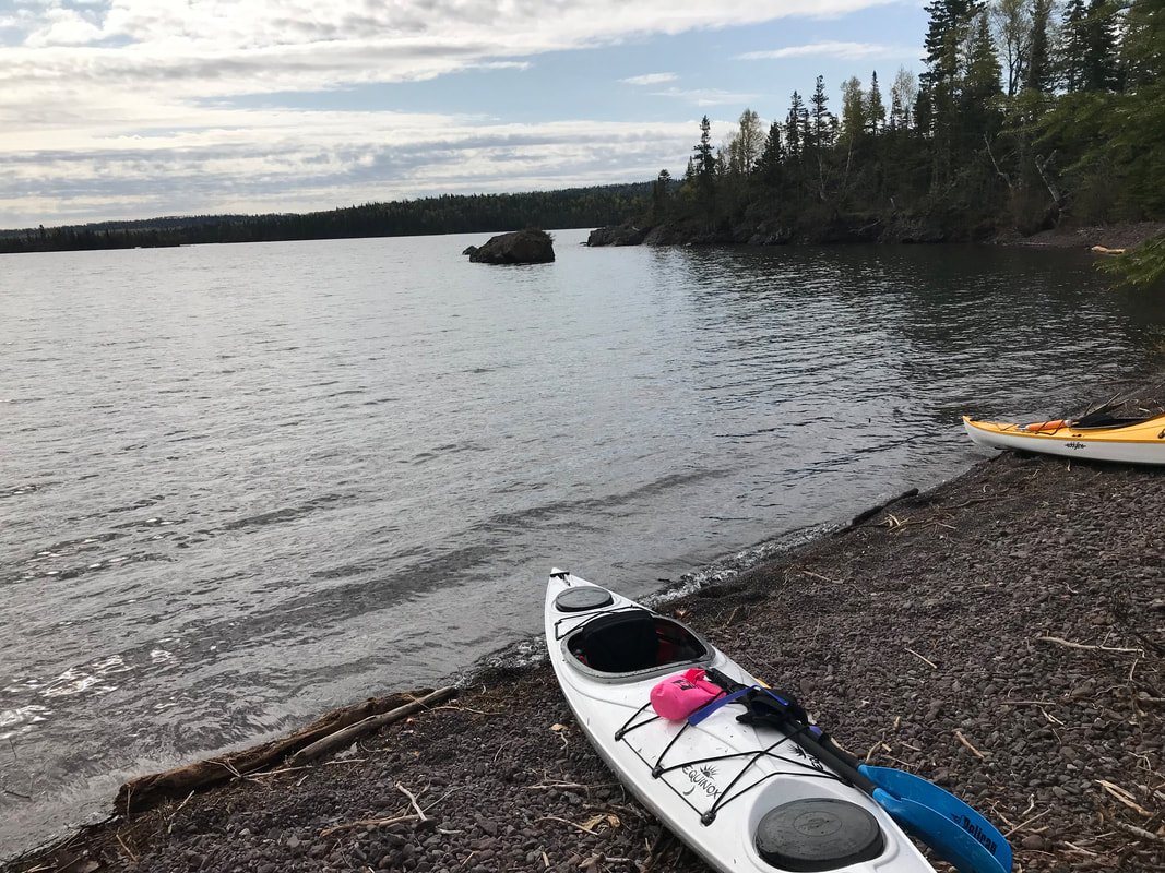
Rock Harbor
Paddling Rock Harbor near Raspberry Island, Isle Royale National Park
Rock Harbor
Key Features:
-No portages
-Water and waves can be a little rougher depending upon the wind direction
- Many things to see and places to go
-Multiple camping options
-Probably the the busiest waterway in the park, expect to see power boats and other paddlers
Key Features:
-No portages
-Water and waves can be a little rougher depending upon the wind direction
- Many things to see and places to go
-Multiple camping options
-Probably the the busiest waterway in the park, expect to see power boats and other paddlers
Looking across Smithwick Channel, Rock Harbor, Isle Royale
|
Looking down Rock Harbor on a blustery day, Isle Royale
|
Exploring the shore near Mott Island, Rock Harbor, Isle Royale
|
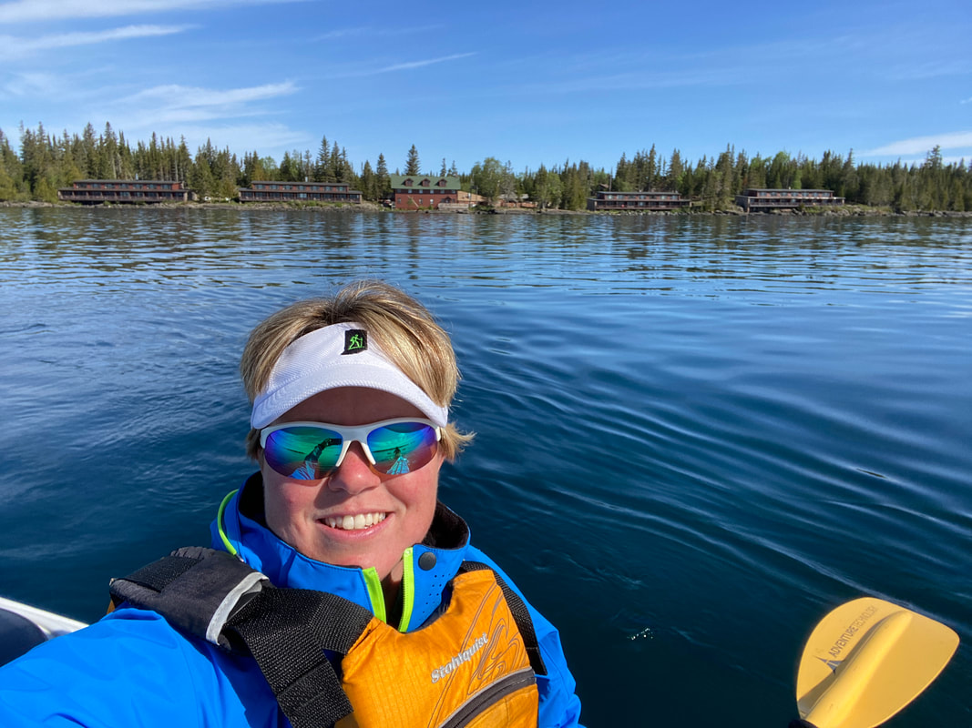
Rock Harbor Lodge from the water, Rock Harbor, Isle Royale
|
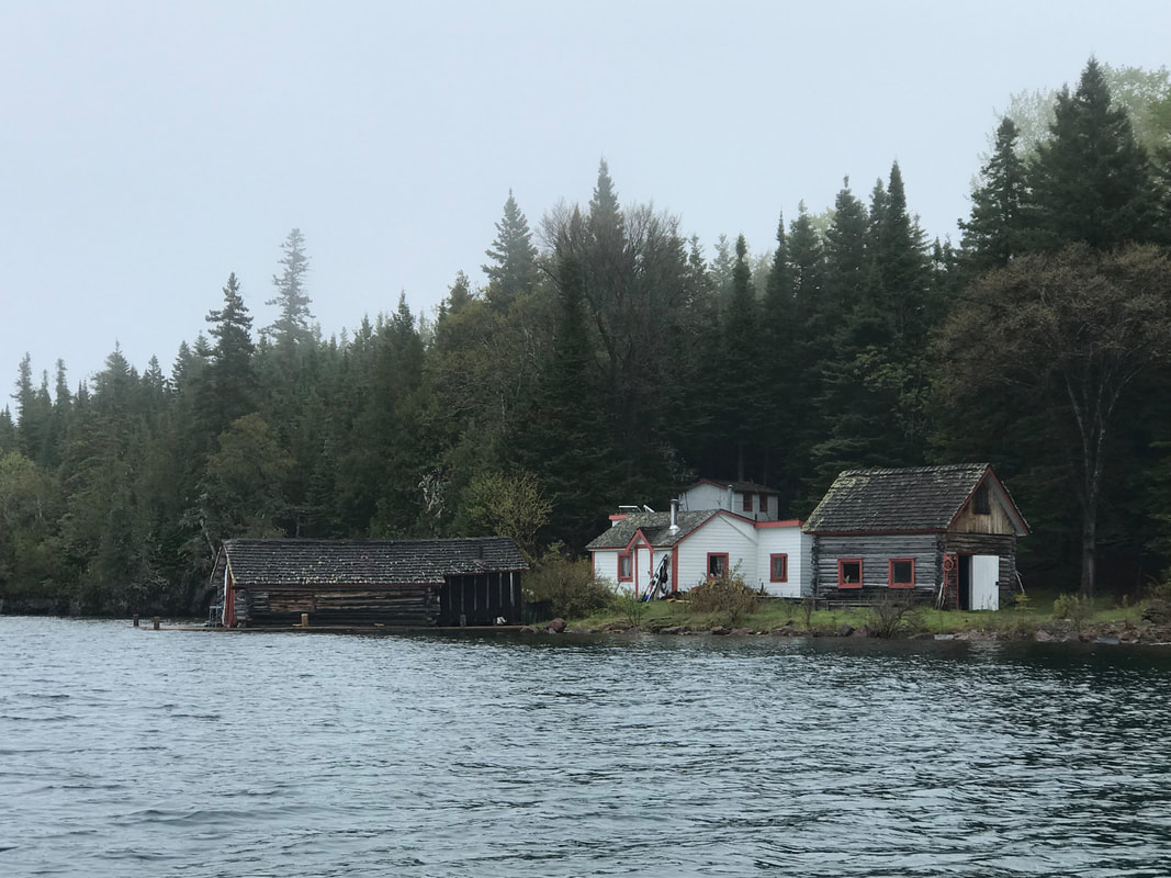
The Edison Fishery is an interesting stop in Rock Harbor, Isle Royale
|
Rock Harbor
This is a main thorough fare of the island and is mostly protected by barrier islands. Expect quite a bit of boat traffic, from park service workers to private boats. Large boats can make significant wake cruising along at a quick clip. Some people canoe this area along the main islands shore, but a kayak is strongly recommended if you wish to paddle across to the open stretch to the barrier islands. The chop and quickly changing wind conditions made the paddle across this span slightly uncomfortable.
When paddling past the openings in the barrier islands, Gitche Gumee can really pick up your boat and get it rocking.
There are several options only available to the boaters that make paddling the island a new adventure. While not secluded by any means, it does give visitors a unique experience.
Tookers Island the closest campsite at about a 1.5 mile paddle from Snug Harbor. The distance is not concerning, but it is quite open to the full Lake conditions which make it a paddle for more experienced kayakers.
Caribou Island is positioned just right to watch the boat traffic and visit the south side gravel beaches for an open view of Lake Superior. The fire rings and shelters are top notch as well.
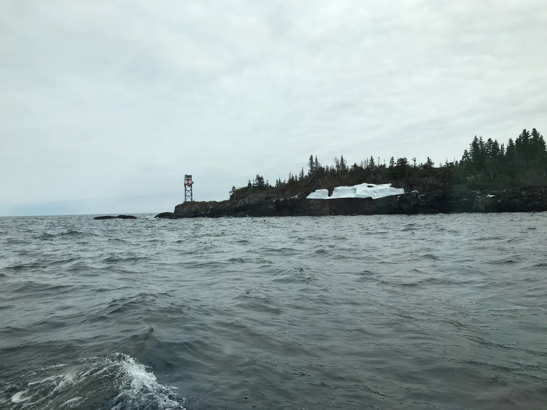
Paddling this stretch is certainly full of activity and quick stops (Mott Island, Edisen Fishery, Rock Harbor Lighthouse, moose research station).
When paddling past the openings in the barrier islands, Gitche Gumee can really pick up your boat and get it rocking.
There are several options only available to the boaters that make paddling the island a new adventure. While not secluded by any means, it does give visitors a unique experience.
Tookers Island the closest campsite at about a 1.5 mile paddle from Snug Harbor. The distance is not concerning, but it is quite open to the full Lake conditions which make it a paddle for more experienced kayakers.
Caribou Island is positioned just right to watch the boat traffic and visit the south side gravel beaches for an open view of Lake Superior. The fire rings and shelters are top notch as well.
Paddling this stretch is certainly full of activity and quick stops (Mott Island, Edisen Fishery, Rock Harbor Lighthouse, moose research station).
Taking a break near the 3 mile Dock, Rock Harbor, Isle Royale
|
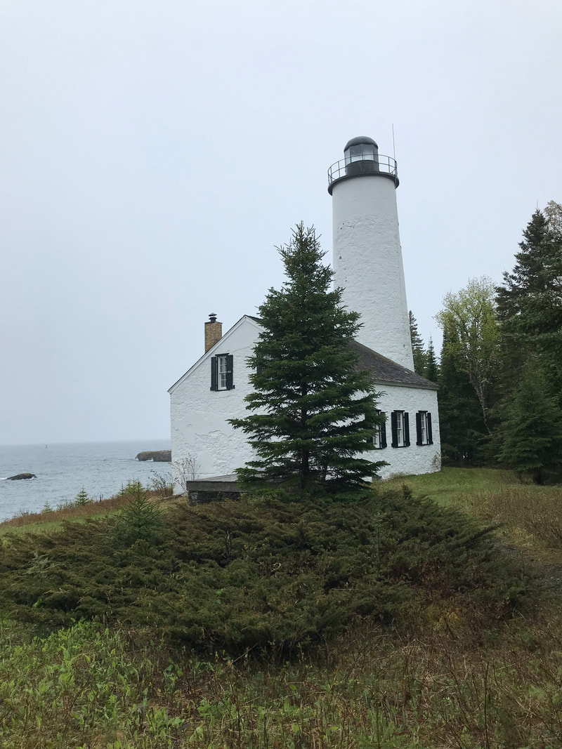
The Rock Harbor Light house, Rock Harbor, Isle Royale
|
Unloading after a long trip in Snug Harbor, Isle Royale
|
|
|
|
Washington Harbor
Looking west toward Beaver Island from Windigo, Washington Harbor, Isle Royale
Washington Harbor
Key Features:
-No portages
-Fewer protected islands to visit and explore
- More islands to explore outside Washington Harbor, but the water may be rougher
-Multiple camping options
-The only protected paddling area on the west end of the island
-Popular with power boaters late June through August
Key Features:
-No portages
-Fewer protected islands to visit and explore
- More islands to explore outside Washington Harbor, but the water may be rougher
-Multiple camping options
-The only protected paddling area on the west end of the island
-Popular with power boaters late June through August
Paddling Washington Harbor, Isle Royale
|
The Grace Island dock, Isle Royale
|
The Beaver Island campground, in Washington Harbor, Isle Royale
|
Checking out a moose carcass in Washington Harbor, Isle Royale
|
Looking out at the North Gap from Grace Island, Washington Harbor, Isle Royale
|
Washington Harbor
While Washington Harbor is not as bustling as the traffic at Snug or Rock Harbors, it still sees quite a bit of action and has options for paddlers. Since it is positioned west to easterly and a long narrow shoot, it is often calm unless a wind is pushing in from the west or southwest, driving Lake Superior wind and waters in like a chute. Beaver Island is the main feature centered in the eastern end of Washington Harbor. It can be easily accessed by a short paddle, and more often that not, the paddle is smooth. This island has three shelters and is popular with boaters who want the convenience and quick access to Windigo. Past Beaver Island, the boreal forest comes right to the shoreline of this narrow waterway for the next 3 miles. As you near the western end of Washington Harbor, you will see several islands in the distance that could be explored with good weather, experience level and preparations. Just to the south of the mouth of Washington Harbor around Card Point lies the gravel spit leading to the Grace Island dock. This natural feature makes the paddle across the open channel feel close and easy to access. To the north, a very small gap between Thompson Island and Isle Royale is referred to as... the North Gap. This is the fated resting place of the SS Americas which shipwrecked on a shallow reef when the first mate was allowed to pilot through this challenging channel. If the sun and waves cooperate, a lucky paddler can have some one of a kind views of this historic wreck. Experienced paddlers may venture to the North Shore from here, where the high cliffs and open waters make paddling only safe for the most prepared and experienced individuals.
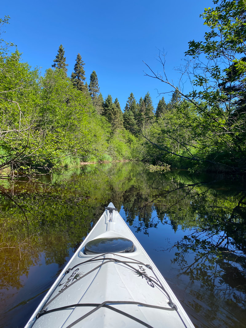
Floating Washington Creek, looking for a moose, Isle Royale National Park
|
The Beaver Island dock, Washington Harbor, Isle Royale
|
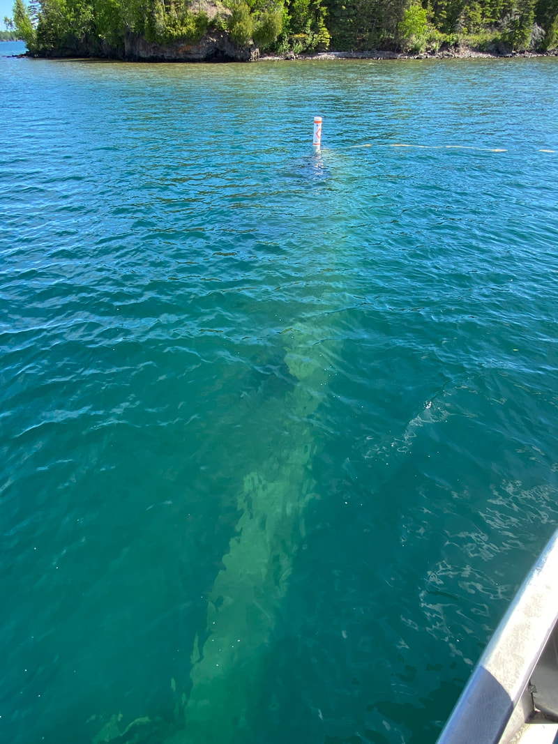
The Americas Ship Wreck in the North Gap, Isle Royale
|
|
|
|