Superior National Forest
Superior National Forest is one of the newer forest we have begun exploring, It is huge with several longer trails like the Border Route Trail, Kekekabic Trail, and numerous shorter trails. The national forest also contains the BWCAW (Boundary Water Canoe Area Wilderness), or simply the boundary waters. This stretch of forest and lakes, both large and small, lies on the boundary between the US and Canada. This area is the quintessential north woods
Key Features
- Many back country camping opportunities
-Home to the Boundary Water Canoe Area Wilderness (permits required)
-Can only camp in designated sites within the wilderness
- Water is almost always available
- Scenic hard wood forests
- Bugs are not too bad
-Wildfire prone, so follow posted guidelines for campfires
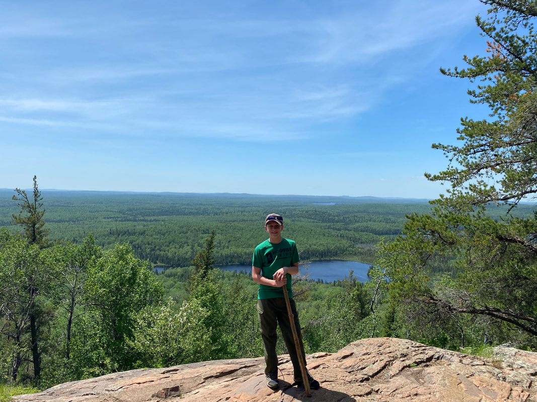
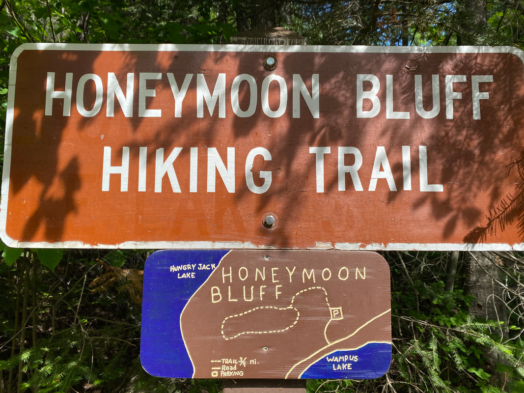
Honeymoon Bluffs
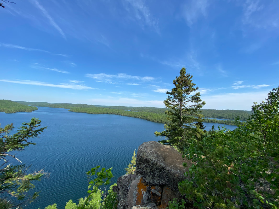
Hungry Jack Lake viewed from Honeymoon Bluffs, Superior National Forest
Honeymoon Bluffs Trail
Key Features:
-Mixed hardwoods
-Cliffs, boulder, rock formations
-Seasonal water falls
-Unique flora
-Popular day hike
-A short hike
Key Features:
-Mixed hardwoods
-Cliffs, boulder, rock formations
-Seasonal water falls
-Unique flora
-Popular day hike
-A short hike
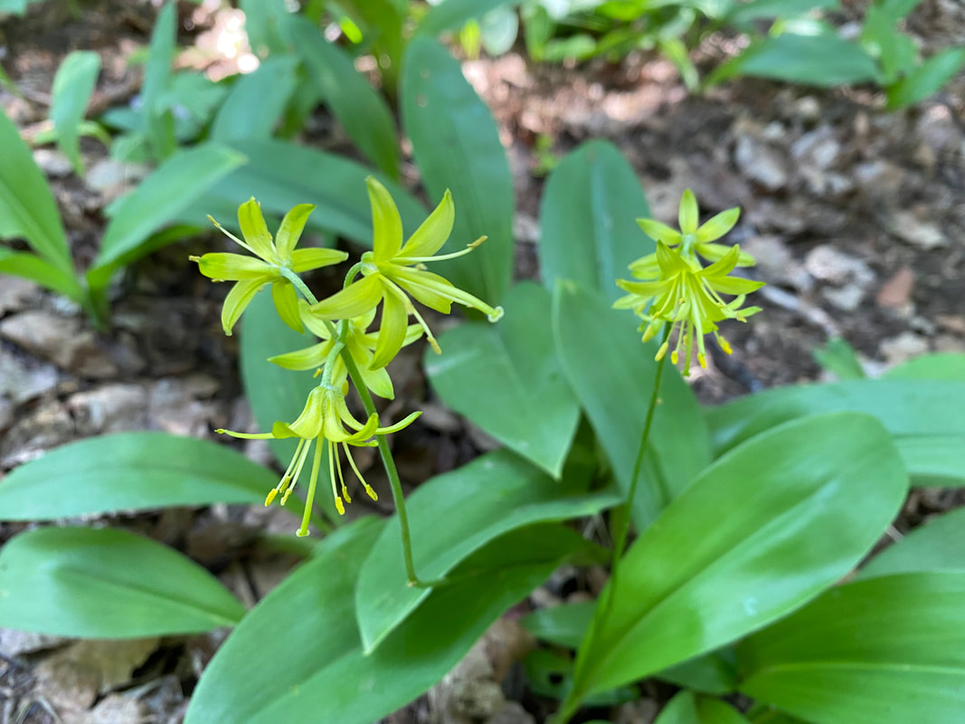
Wild flowers along the Honeymoon Bluff trail, Superior National Forest
|
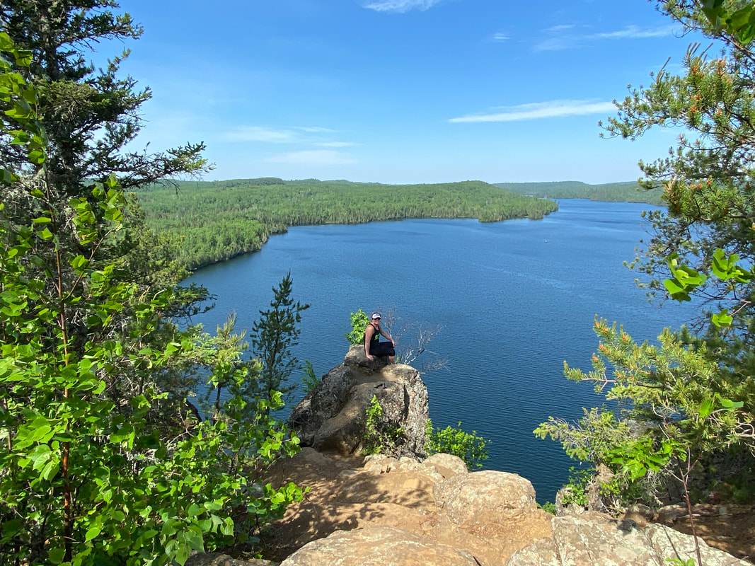
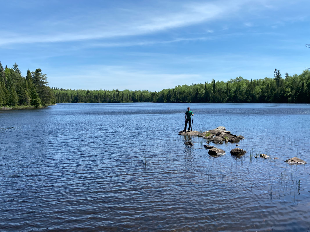
Rockhopper on the point, Honeymoon Bluff, Superior National Forest
|
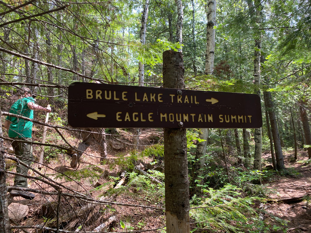
The trails are well marked, Superior National Forest
|
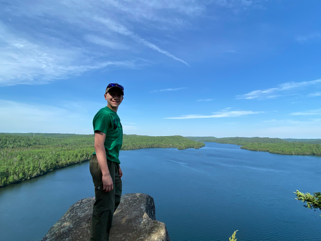
On the overlook, Honeymoon Bluff, Superior National Forest
|
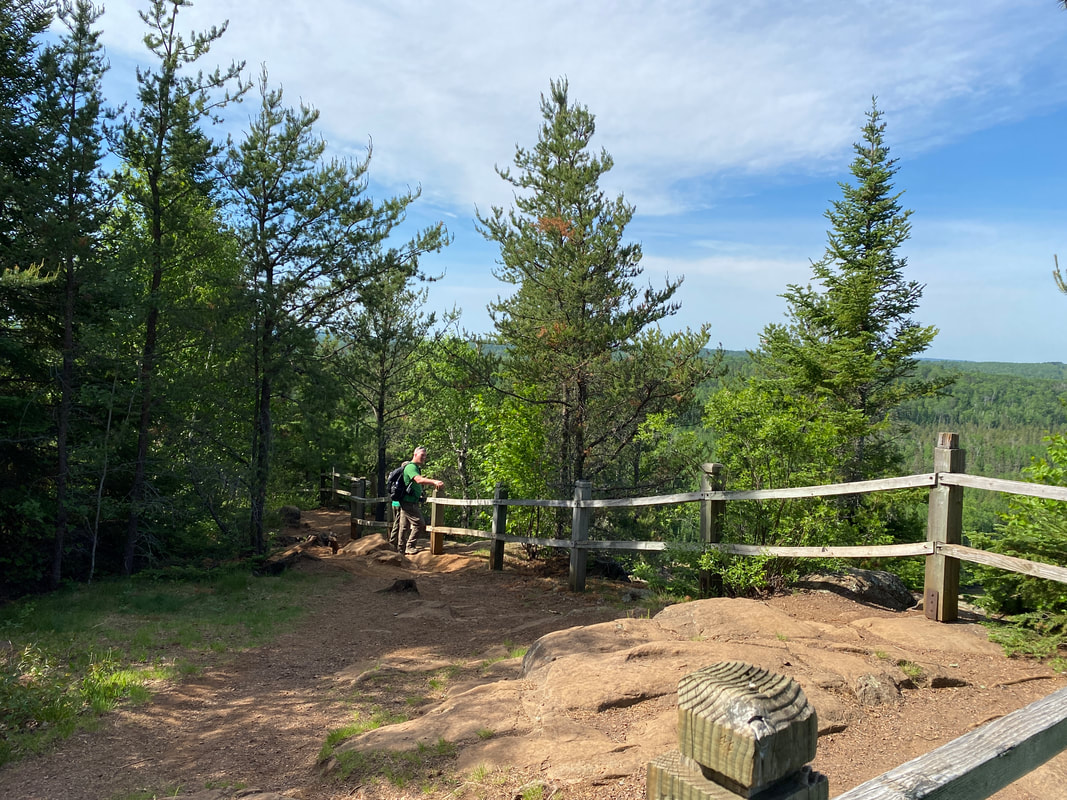
The official viewing area at Honeymoon Bluffs, Superior National Forest
|
Honeymoon Bluff
(.5 miles)
I hate to admit to hiking somewhere made famous by Instagram posts and staged “hiking” photos, but with the close proximity of Honeymoon Bluff right off the Gunflint Trail and a short 1/2 mile stretch of our legs after 2 days of driving, who could resist?
HB is a gentle straight up short hike using wooden stair steps to ascend an overlook of mostly Hungry Jack Lake. It is enough of a climb to get the blood pumping and work up a bit of heat, and then you are at the top. (Be sure to bring your DEET in the summer as the bugs are classic north country aggressive.) The guard fencing is easily climbed over (an obvious risk) to obtain the vistas on the enormous boulders and vantage points with views for miles.
Hungry Jack Lake does allow motor boats and has several private homes for you to drool over while taking in the sweeping views. With such an easy hike, it’s a can’t miss opportunity on your way up the Gunflint Trail.
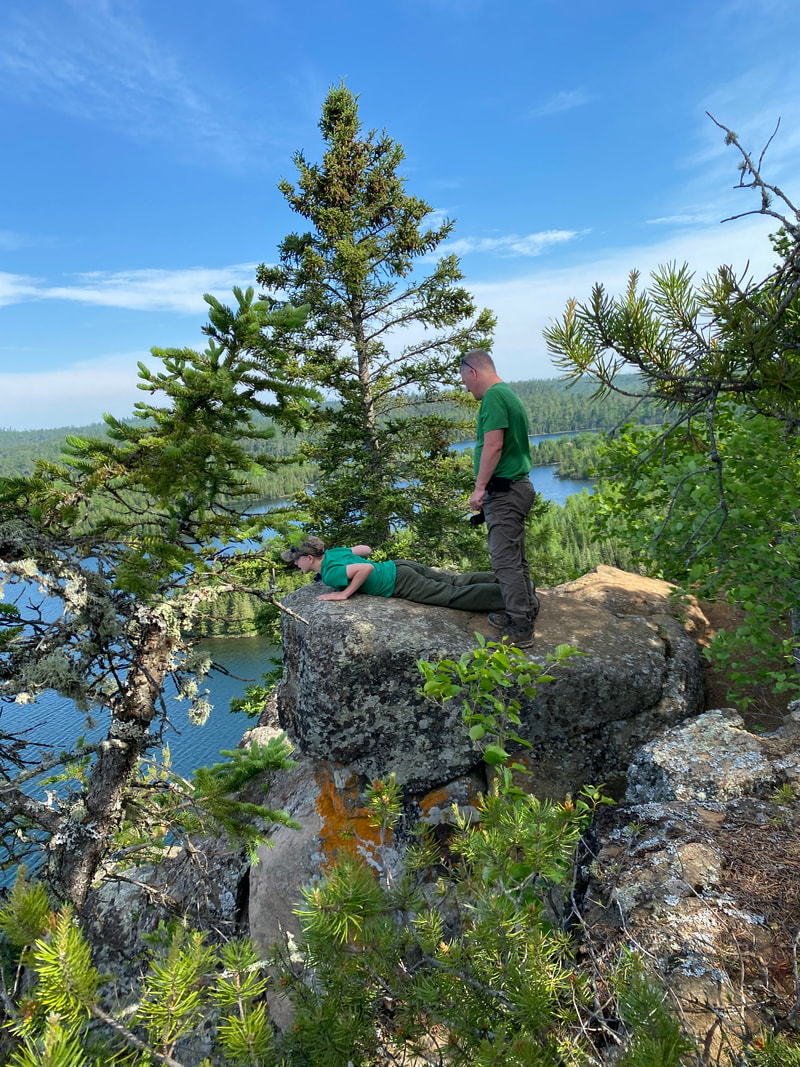
looking over the edge, Honeymoon Bluff, Superior National Forest
|
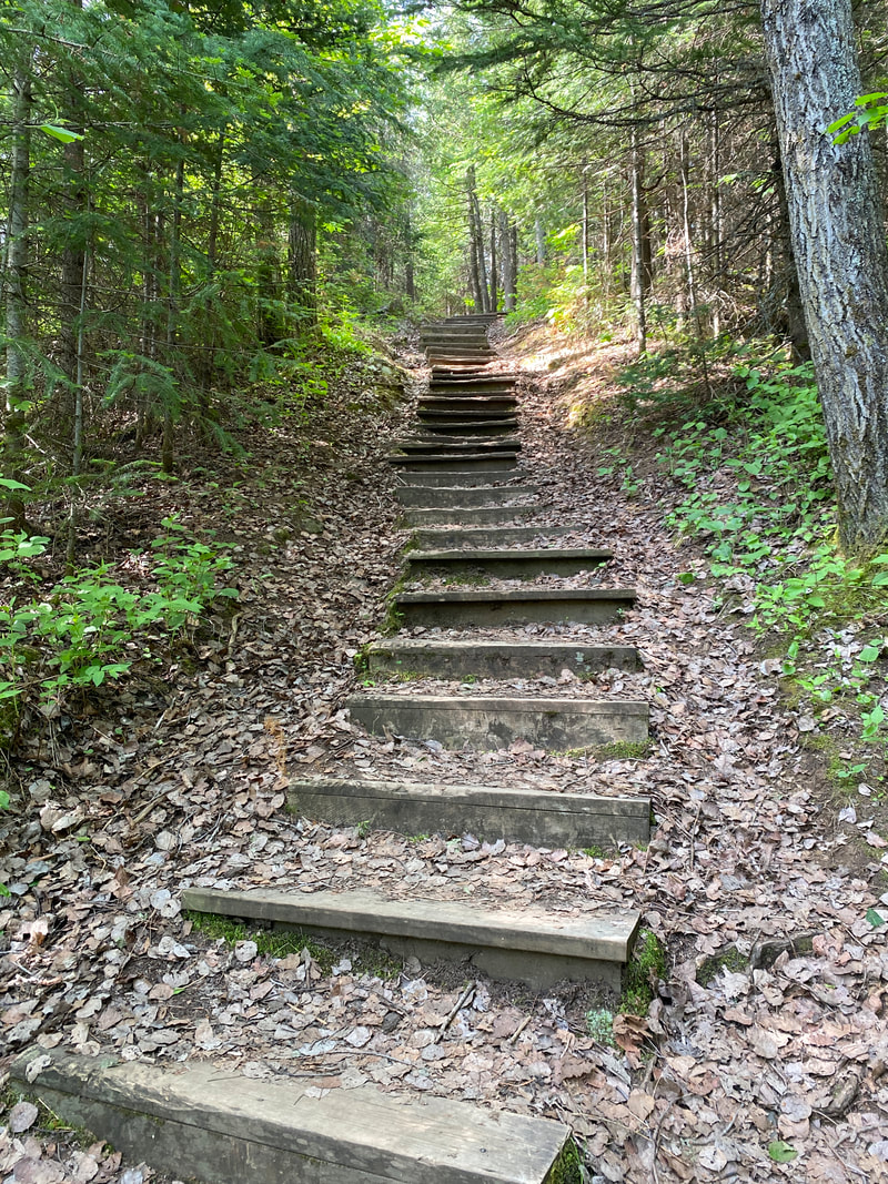
Its about a 100 steps up to the bluff, Honeymoon Bluff, Superior National Forest
|
The trail is flat and easy once to the top, Honeymoon Bluff, Superior National Forest
|
|
|
|
Eagle Mountain Trail

Looking out from Eagle Mountain, Superior National Forest
Key Features:
- Requires a free permit for day use, can be done at trail head
-Possible backpacking trip (requires an over night permit from forest service, must be done in advance)
-Extremely rocky and rooty trail
-Very popular trail
- Highest point in Minnesota
- Nice overlooks near the top
- Requires a free permit for day use, can be done at trail head
-Possible backpacking trip (requires an over night permit from forest service, must be done in advance)
-Extremely rocky and rooty trail
-Very popular trail
- Highest point in Minnesota
- Nice overlooks near the top
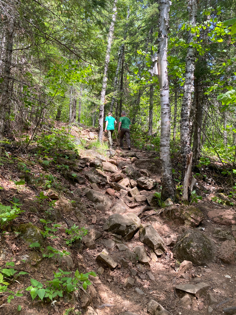
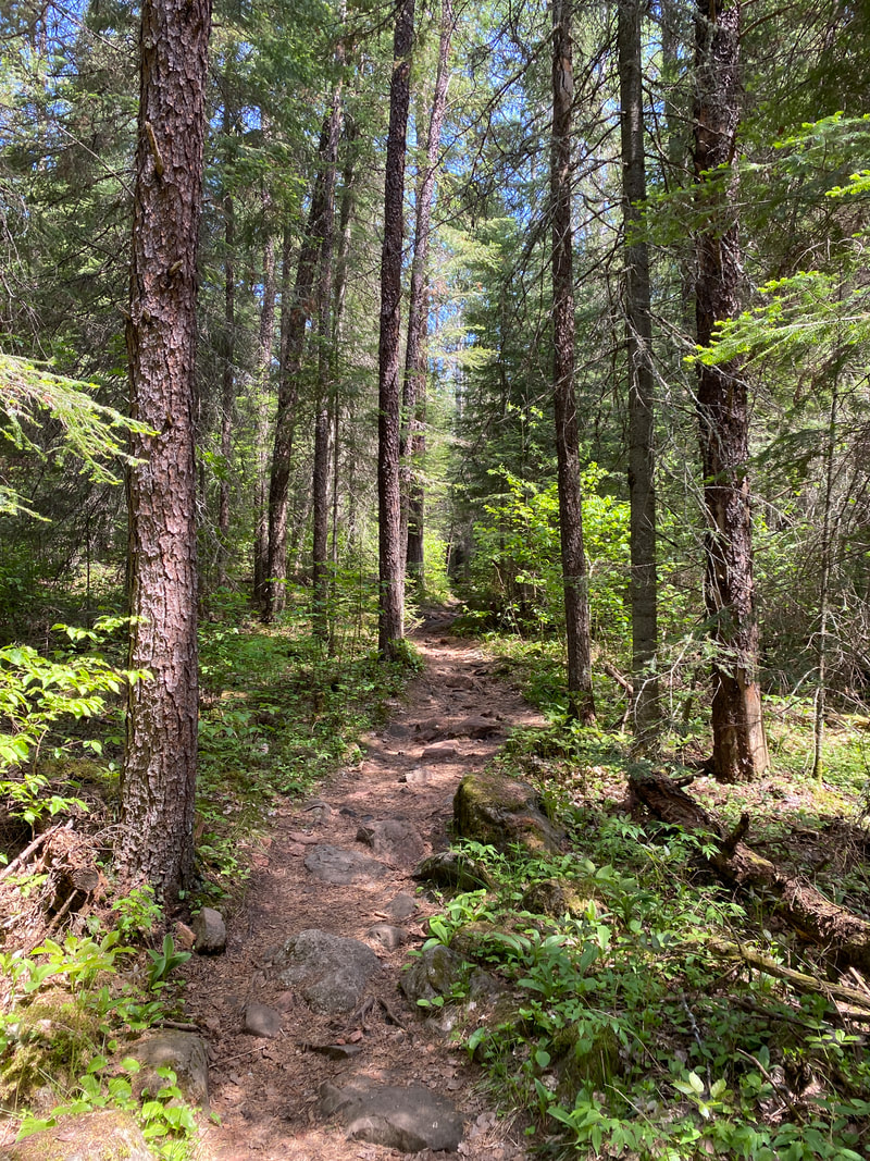
The Eagle Mt. Trail in Superior National Forest can be very rocky
|

Higest point in Minnesota, Eagle Mt., Superior National Forest
|
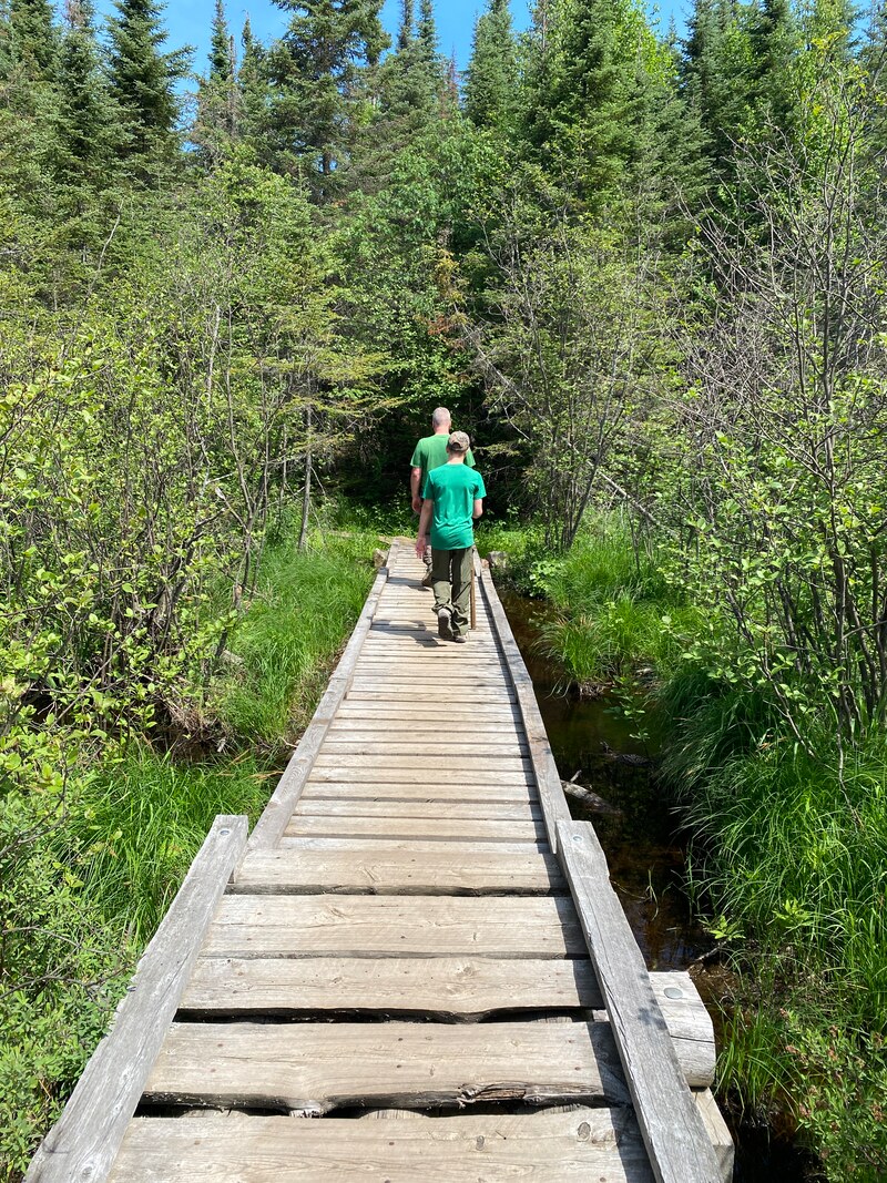
Bridge on Eagle Mt. Trail, Superior National Forest
|
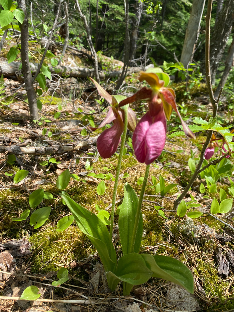
Pink Ladies Slippers near the top of Eagle Mt., Superior National Forest
|
Eagle Mt. Trail, Superior National Forest
|
Eagle Mountain Trail
(7 Miles)
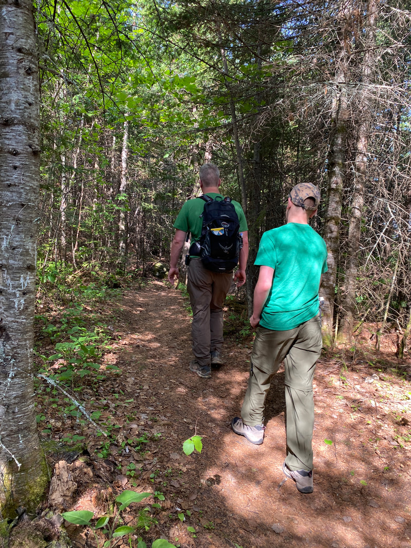
Heading out for the highest point in Minnesota for a short day hike on our way to the Boundary Water's Eagle Mountain really fit the bill for a nice half day adventure. The trail is very well worn and easy to follow as it sneaks its way through the low lake area and then gently climbs up to Eagle Mountain crest.
Proper footwear is essential as the trail is extremely rocky and rooty. There are stretches where you’re scrambling from basketball size rock the basketball size rock or small boulders for long stretches at a time.
Along the way you’ll be treated with a few lakeside stops where you may decide to pop in for a swim or snag a few pictures.
The trail is pretty gentle until the last half a mile where it climbs to a first overlook and then on to the actual high point summit where you’ll have views of at least two inland lakes. If you take a small right you can travel up to the actual true highest point and see the geologic marker that’s been hammered into the rock face and a historic placard.
Definitely bring extra water as the trail is 7 miles total, but with a possible lack of breeze and the constant foot strain and attention to the rocky trail, you can really work up a sweat climbing the last half mile.
We saw a total of maybe 10 people on our hike, so it’s a fairly popular destinations, but not crowded in the way that some trails can be.
As for wildlife, the potential is there but it was a little heavily trafficked for us to see much more than some Eagles along our way.
This is definitely worth it after traveling as a way to stretch your legs and see what Minnesota Superior National Forest has to offer.
Branching into the uphill section of trail, Eagle Mt. Superior National Forest
|
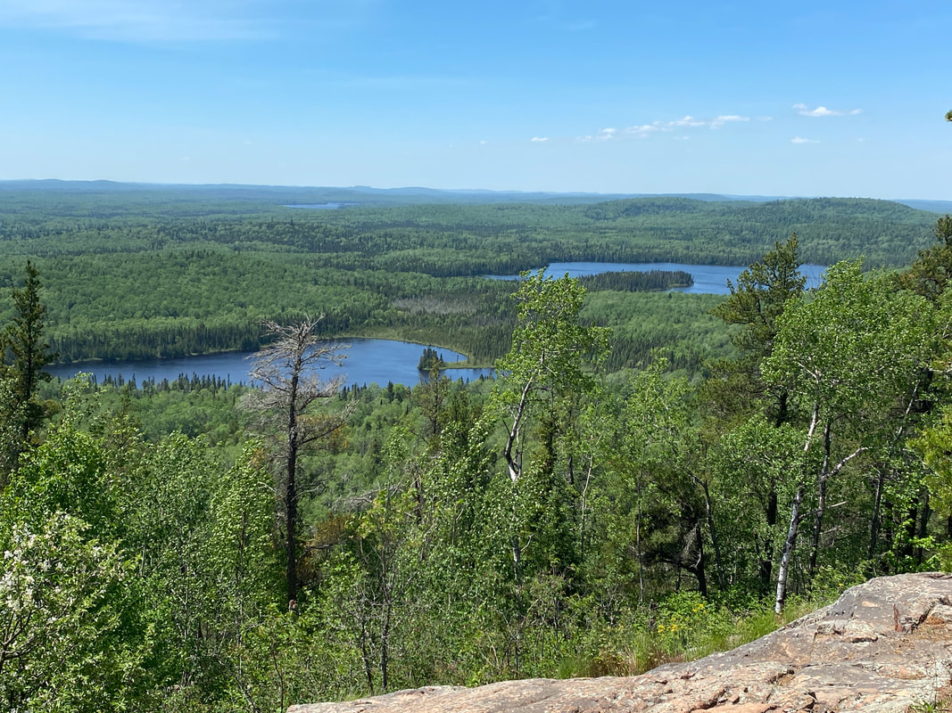
View from the top, Eagle Mt., Superior National Forest
|
Exploring Whale Lake, along the Eagle Mt. Trail, Superior National Forest
|
|
|
|