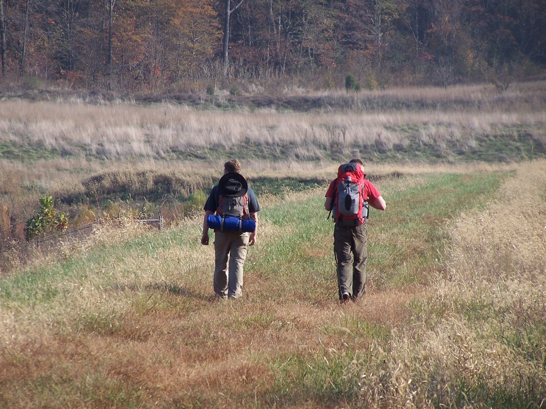
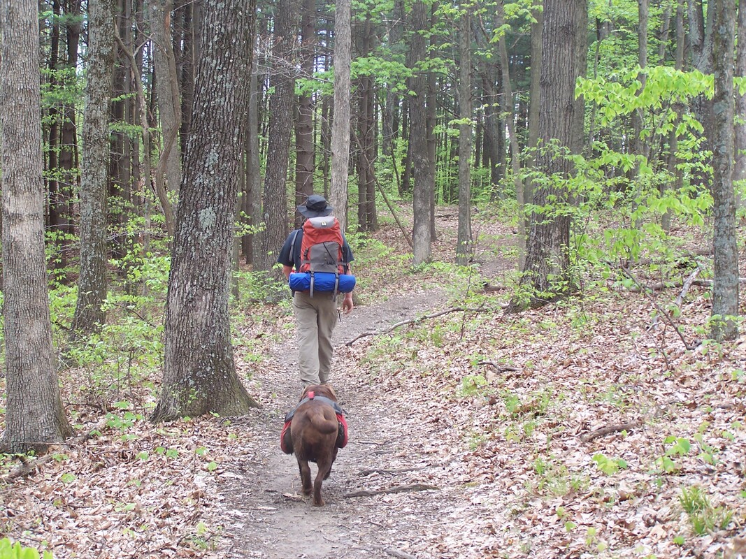
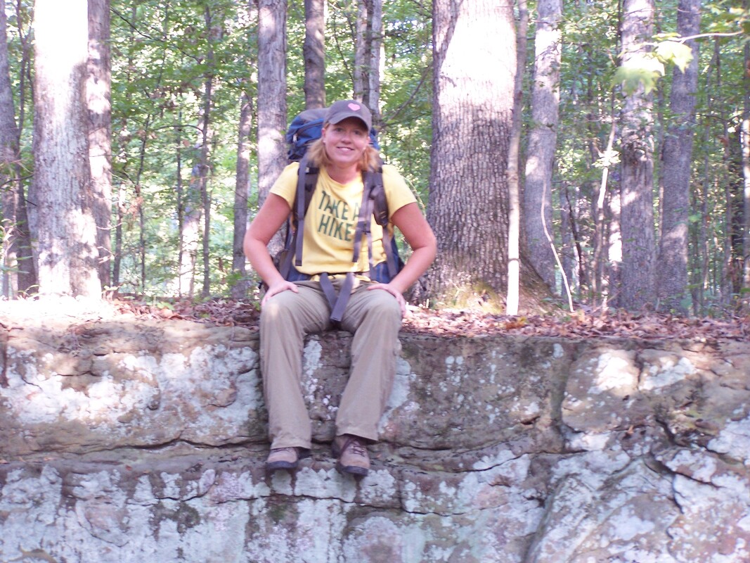
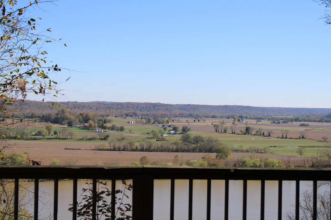
Hoosier National Forest
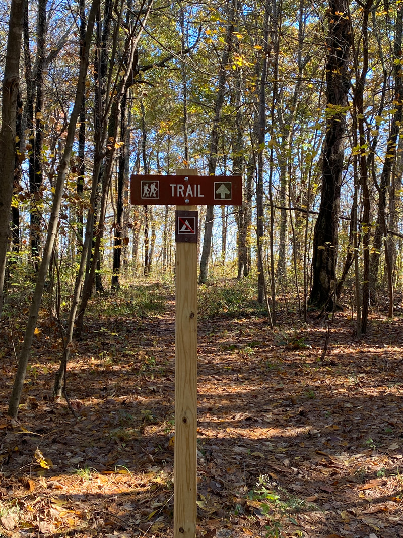
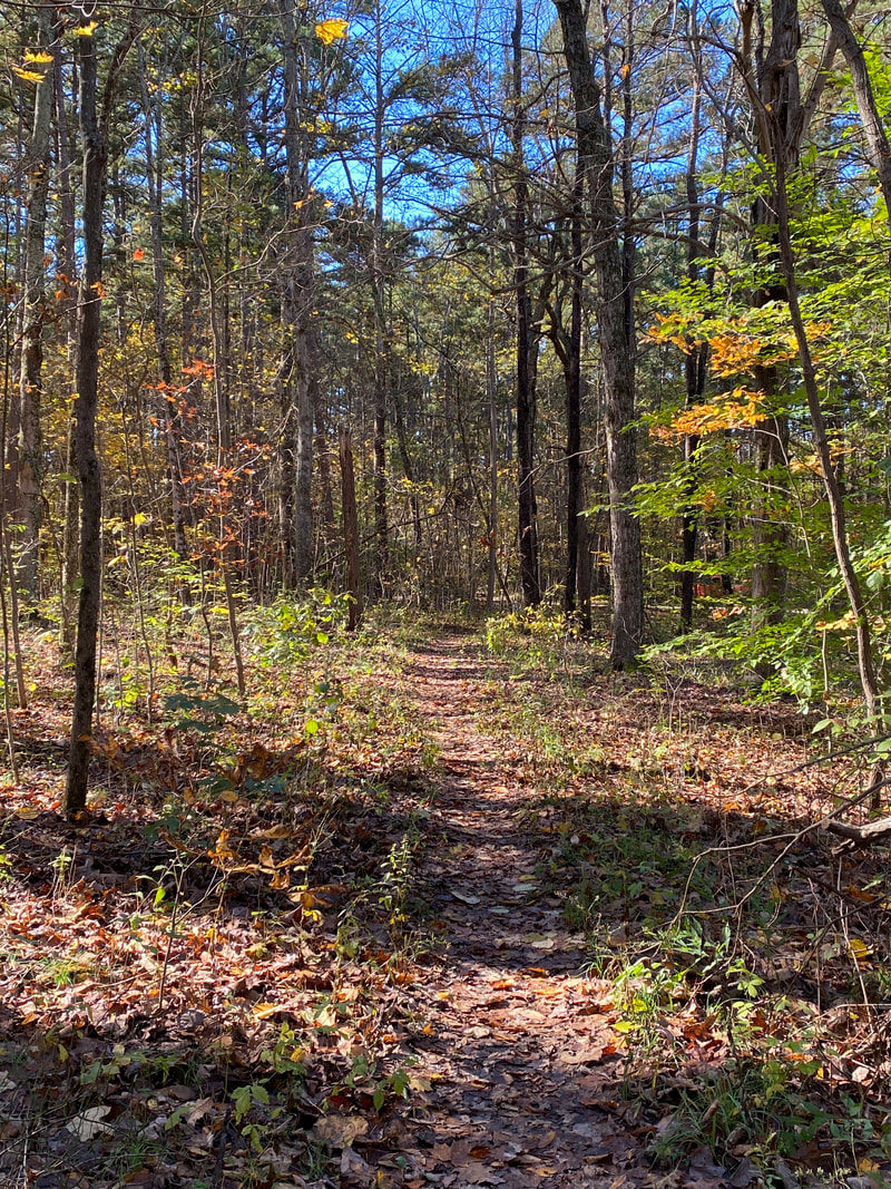
Click on the links below to explore our favorite trail systems within Hoosier National Forest located off of I-64, midway between Evansville and Louisville. Hoosier National Forest was established in 1934. At the time, much of the land consisted of old farms and had been cleared. Over the years, the forest has recovered and been replanted.


Key Features
- Many back country camping opportunities (no permits required)
- Many miles of multi-use trails
- Some trails are rough due to horse use
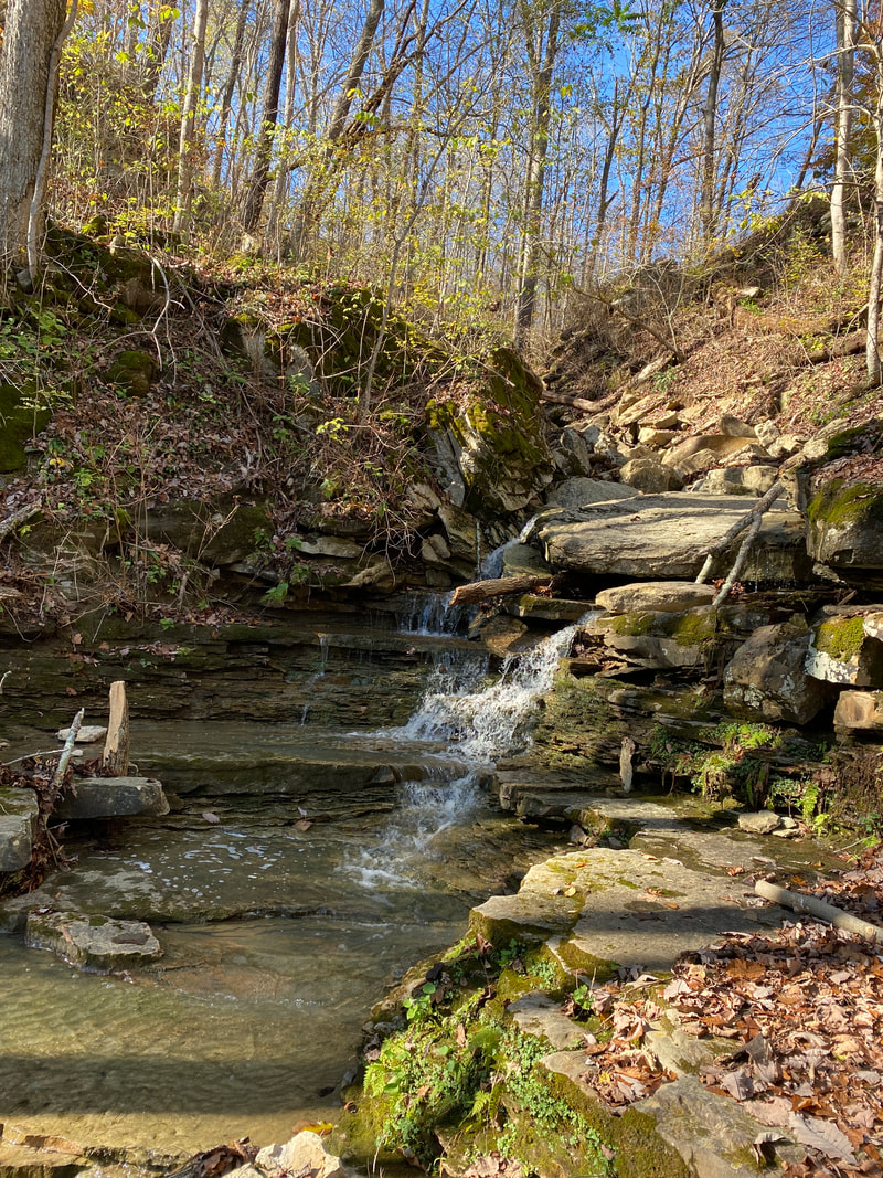
- Water is usually available
- Scenic hard wood forests
- Spring wildflowers in some locations
- Many back country camping opportunities (no permits required)
- Many miles of multi-use trails
- Some trails are rough due to horse use
- Water is usually available
- Scenic hard wood forests
- Spring wildflowers in some locations
Two Lakes Loop
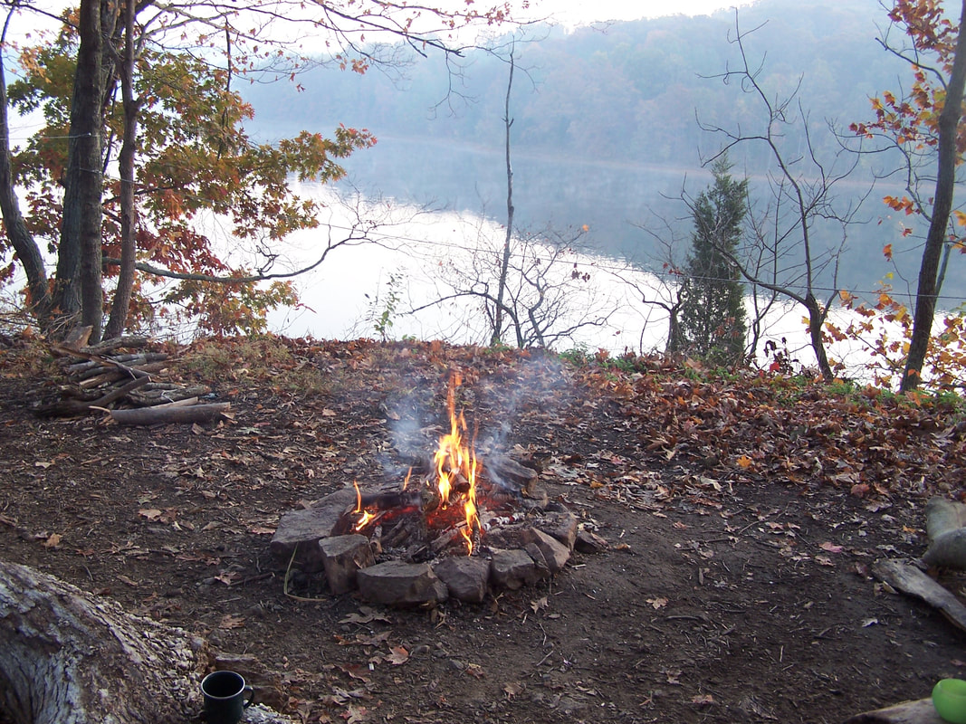
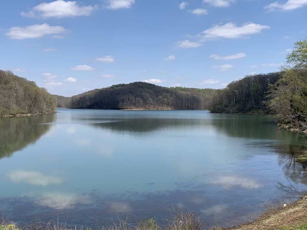
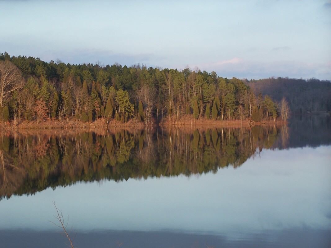
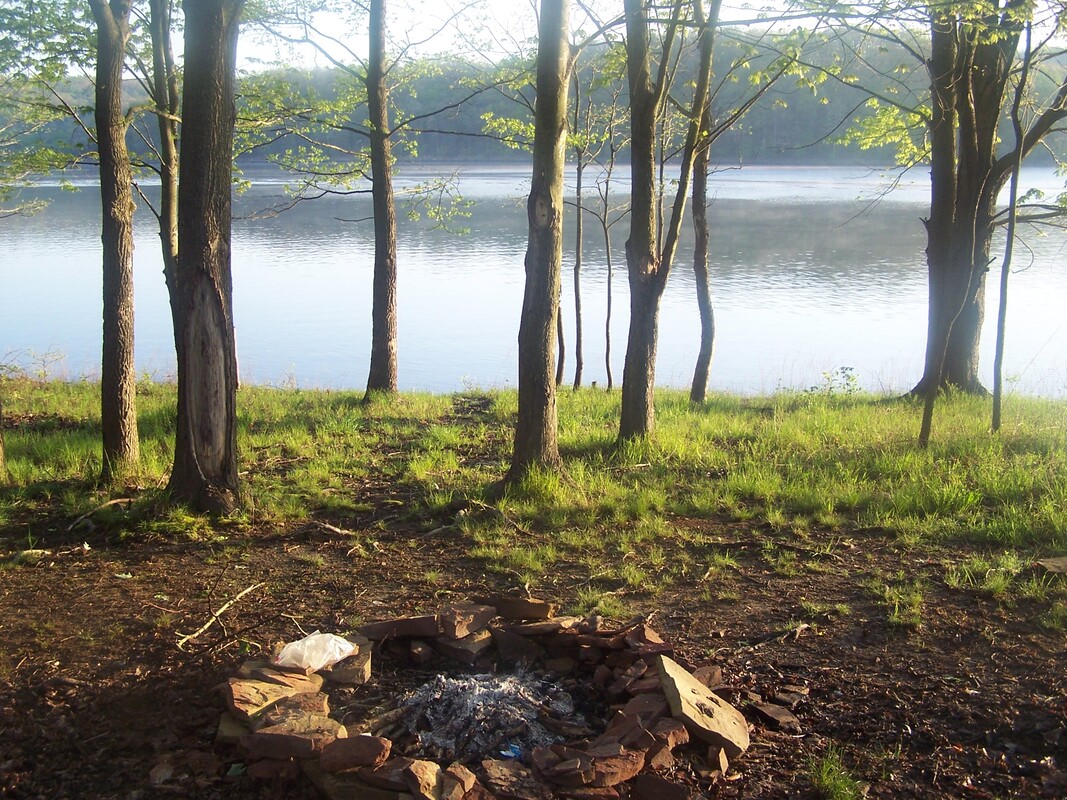
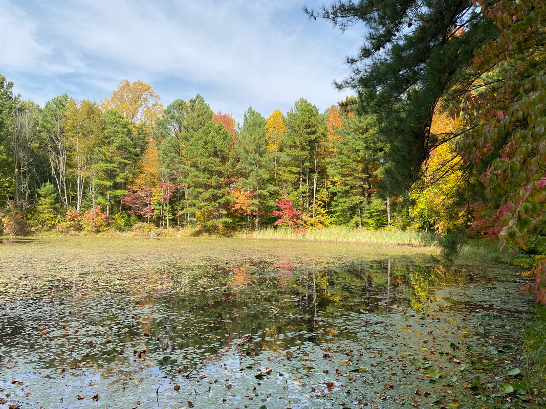
Fall Colors at Celina Lake, Hoosier national Forest
Two Lakes Loop
Key Features:
-Frequent lake views
-Easy to follow trail
-Water availability
-Loop & length options
-Great hidden campsites
Key Features:
-Frequent lake views
-Easy to follow trail
-Water availability
-Loop & length options
-Great hidden campsites
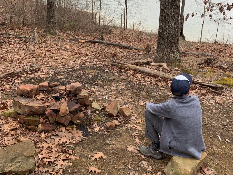
Sunset near Celina Lake Dam, Hoosier National Forest
|

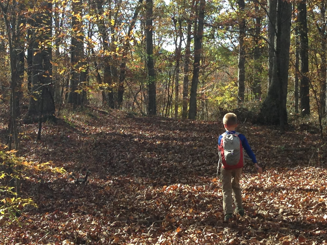
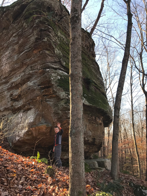
Our little hiker on the Celina Dam, Hoosier National Forest
|
Celina Lake reflecting the forest, Two lakes Loop, Hoosier National Forest
|
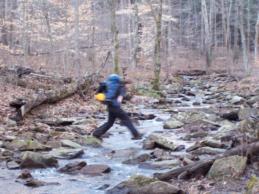
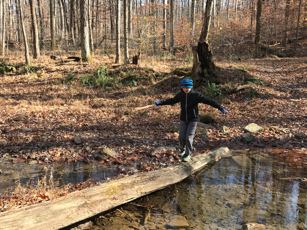
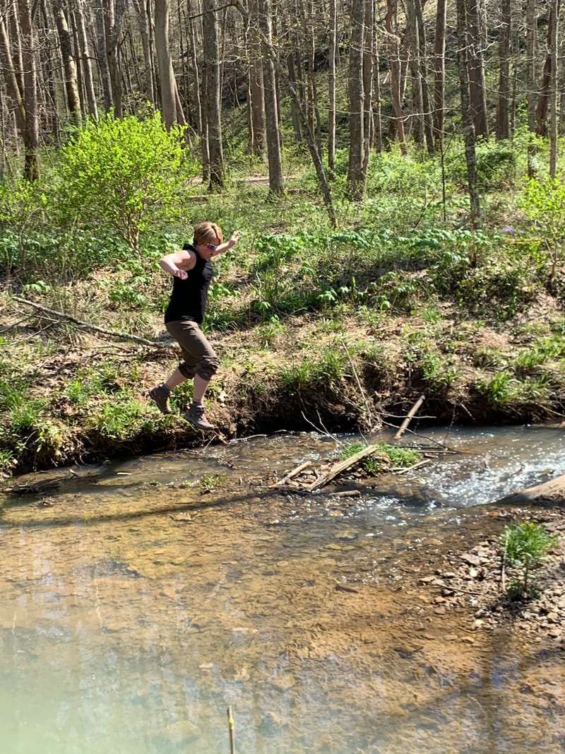
Jumping a creek, Two lakes Loop trail, Hoosier National Forest
|
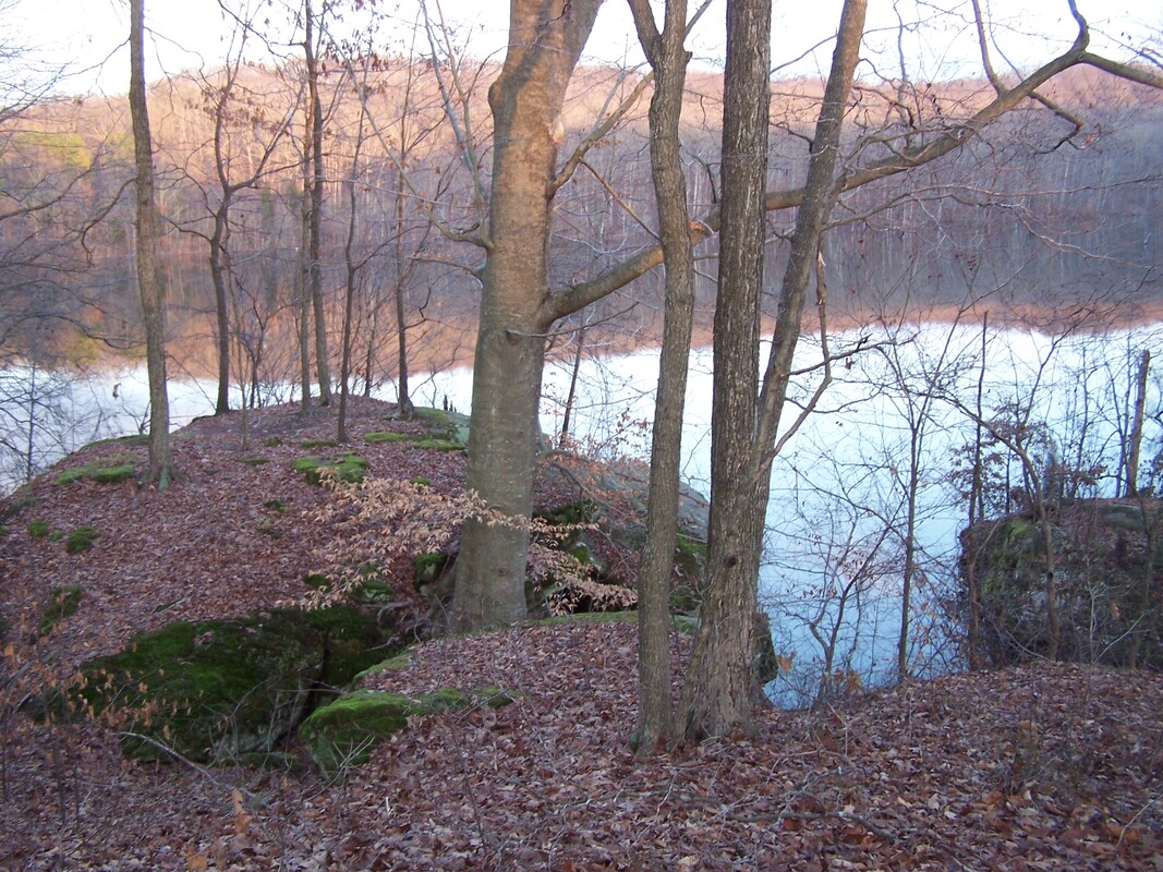
View from a hidden campsite near Lake Celina, Hoosier National Forest
|
The Two Lakes Loop Trail
(15.8 miles)
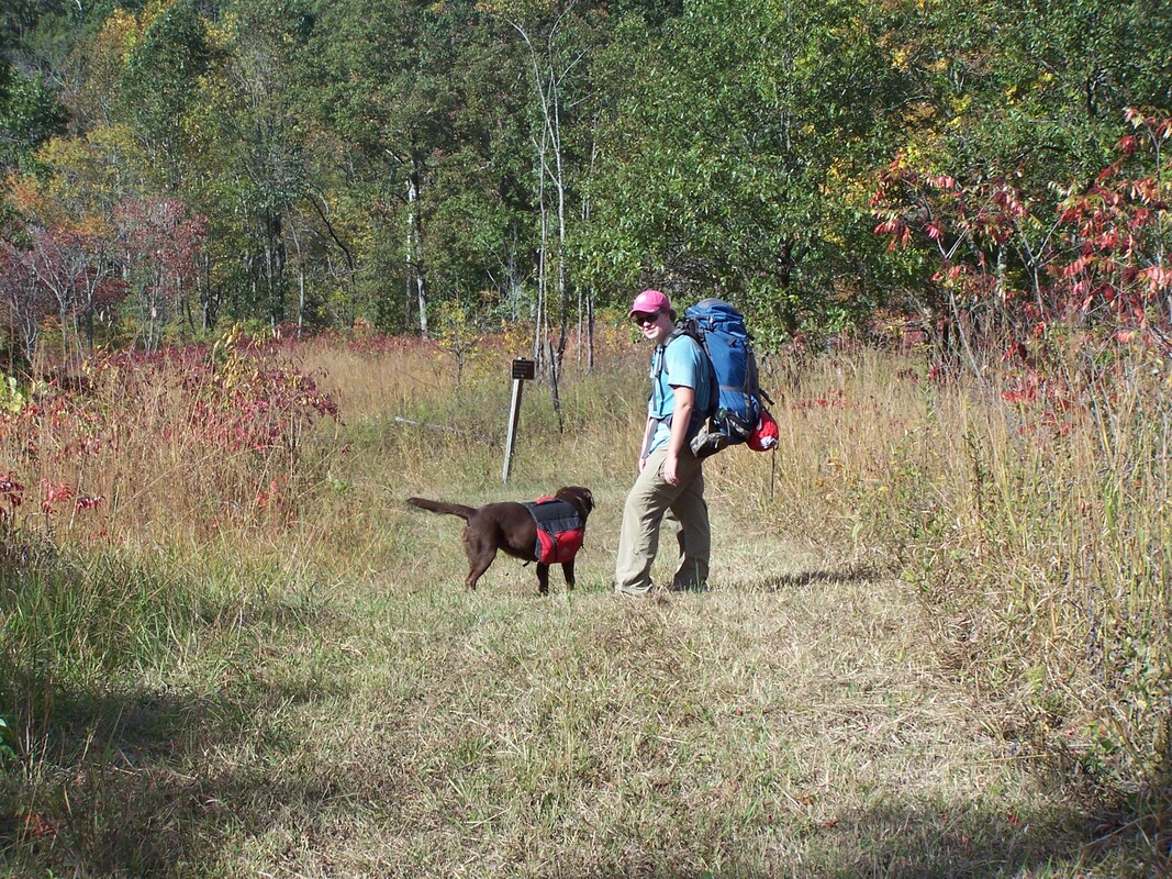
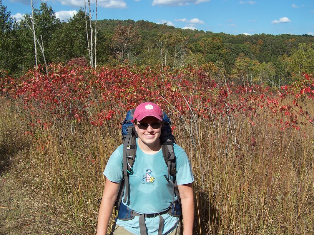
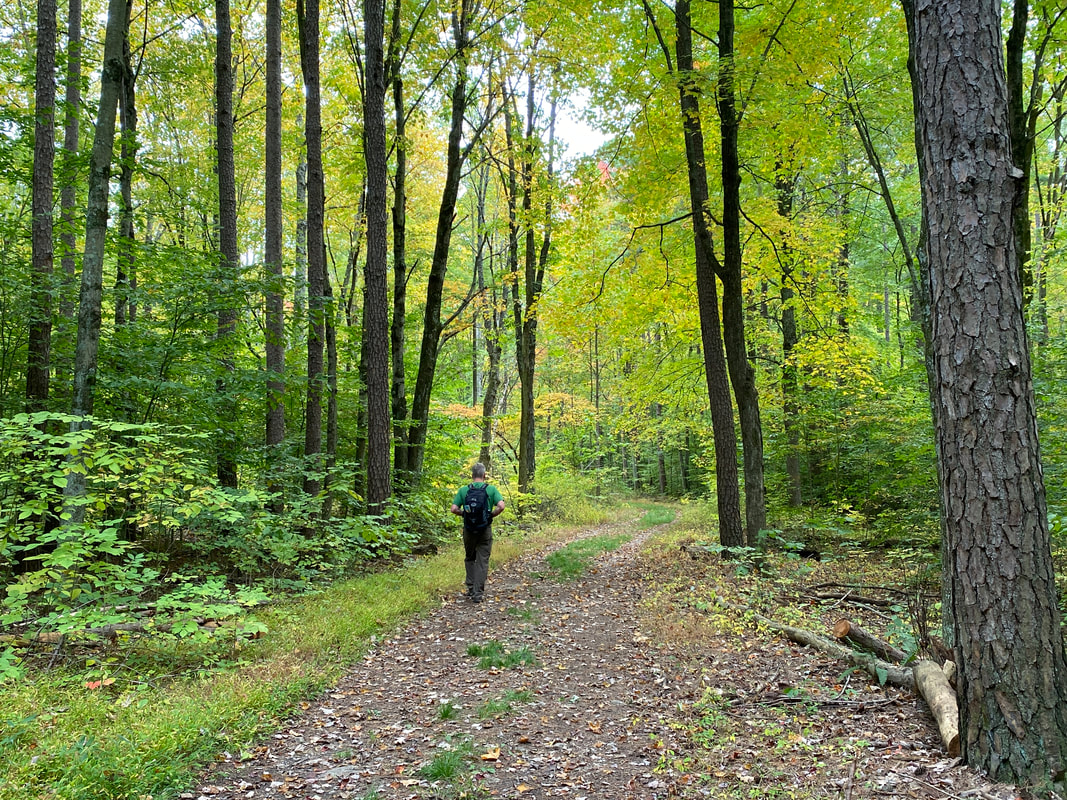
The Two Lakes Loop is one of the premiere hikes in Southern Indiana. At nearly 16 miles, it makes for a great 1-2 night trip. A connector trail in the middle allows you to decide to reduce miles for your party. There are multiple areas to park and begin this hike. We will begin at the first parking spot when entering the park.
This trail is our favorite due to its easy access from our house and lakeside ambiance. We have hiked it at least a dozen times.
While there is no right or wrong way to hike this trail, we will begin by going north. Heading north you will cross the park road and begin a slight uphill hike. This will take you through hardwood forests and open clearings created to provide habitat to the wildlife. You will pass 2 connector trails that will return you to the forest service road. The third will be the connector trail- which allows you divide the hike into smaller chunks. Continue to the right (west) which will begin a long downhill ending in the middle fork of the Anderson River. At times this river can be hip deep. Once hiking it in January it was knee deep. The hill will take you up to a ridge and back down before your first views of Indian Lake. You will proceed along the lake shore for a period of time then move away from the lake. You will cross two creeks, climb a hill, and eventually return to the lake shore.
After you cross the Indian Lake dam you could take a side trip to Jason Falls, this was even mentioned in a 2011 Backpacker Magazine article. You will proceed along the lake shore for nearly a mile passing several lakeside campsites. One of the best is right across from the Indian Lake boat ramp. This trail will walk you across the dam allowing you a clear view of the length of the lake. This is a great spot to capture pictures of the fall colors.
The next section of trail is hilly and will take you to the connector trail. At the connector trail you can head north and return to the park road or continue southeast toward Celina Lake. During this section, you will cross a great rocky creek (our son's first backpacking trip). A little further will take you to a gravel access road and the dam of Indian Lake. While this gravel access road is not part of the trail system, it can be utilized to shorten the hike into smaller sections.
Once again, the dam of Celina Lake provides you with a stunning setting for your pictures. The hidden gem of this hike is a cliff side camp spot overlooking the lake. It is accessible only by trudging through the thick brush just after the dam. This site sits up high on the cliffs, but does allow for water access with some scrambling. The drawback of this site is the lack of firewood, popularity, and dangerous drop offs in the dark. This site is also accessible via paddle.
After crossing the dam, proceed uphill and around the fingers of Celina Lake. There will be several campsites high on the ridges and one down by the water, but it is difficult to find. Eventually, the trail will connect with the Celina Interpretive Trail. You can add this short loop to view the Rickenbaugh House and the boat ramp. If not, continue forward, the trail will gradually go uphill and cross a park road. Continue down hill until you reach an old road bed. This old roadbed leads you to the parking area where your chariot to a hot shower awaits.
Crossing Indian Lake Dam, Two Lakes Loop, Hoosier National Forest
|
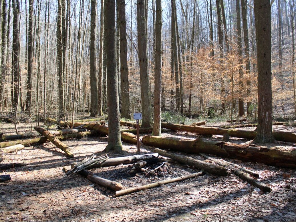
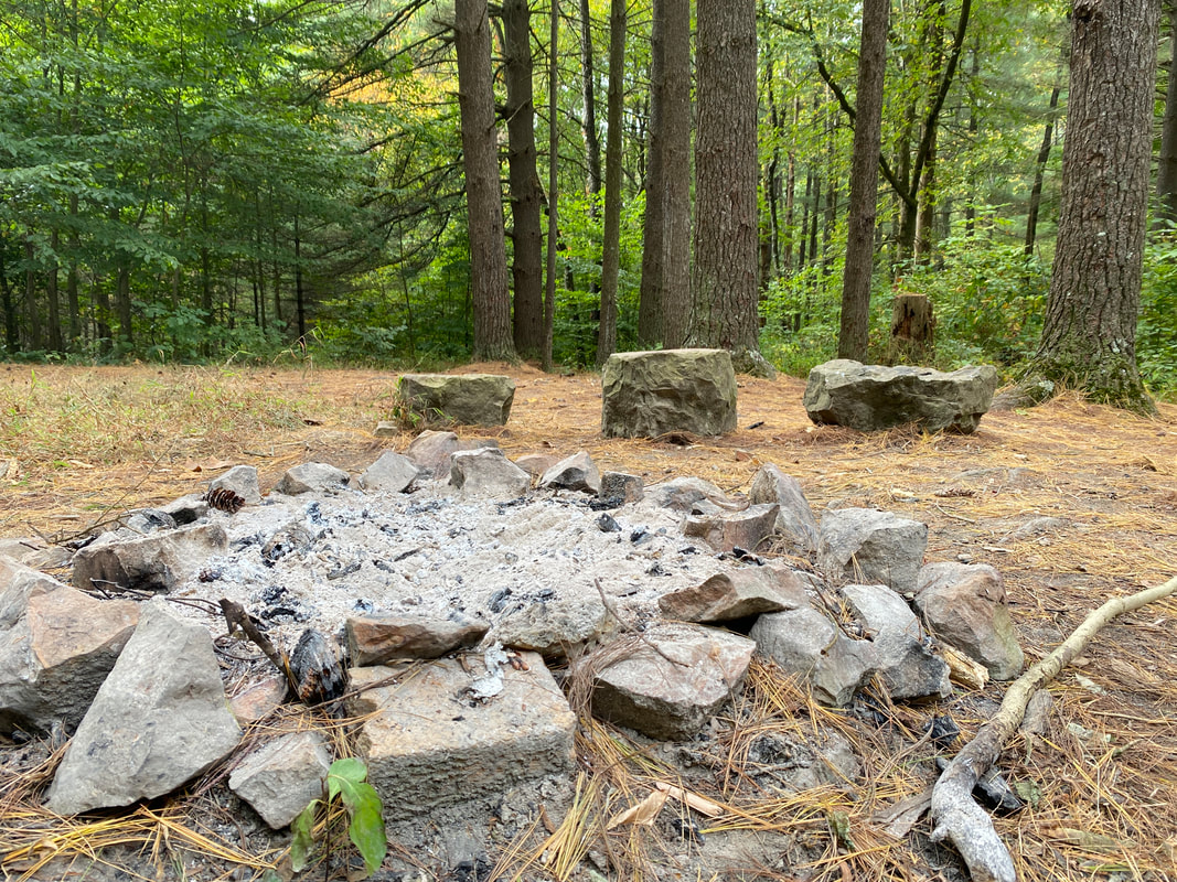
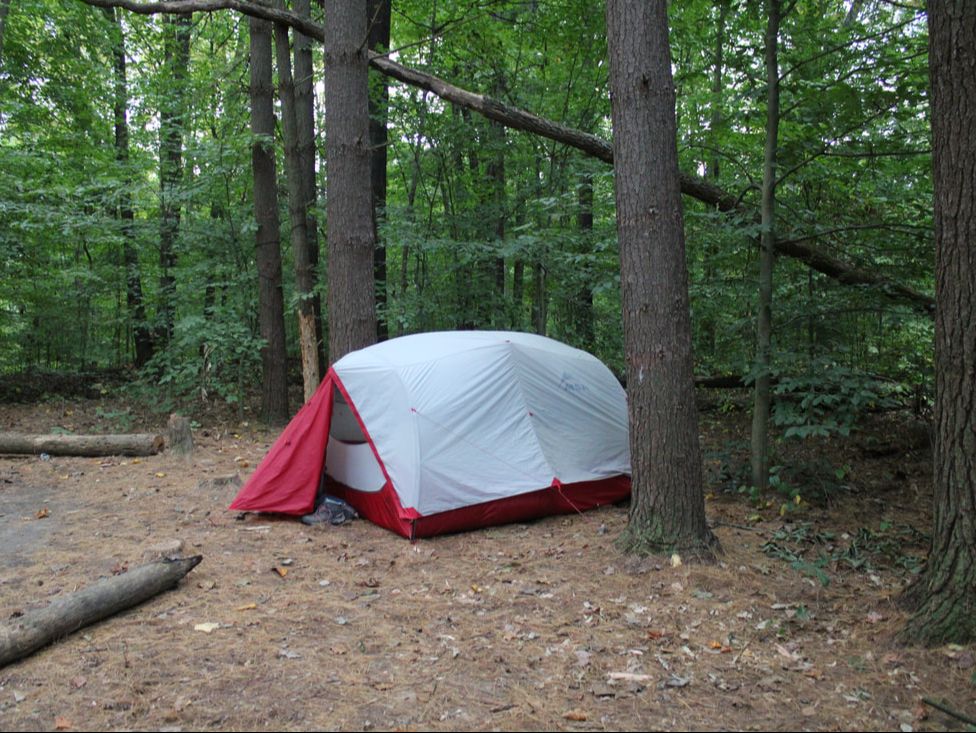
Camping at Indian Lake, Hoosier National Forest
|
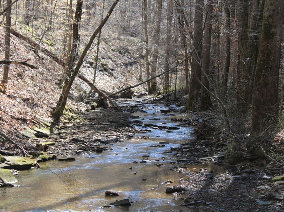
Stream crossing near Celina Lake, Hoosier National Forest
|
|
|
|
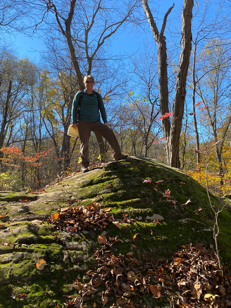
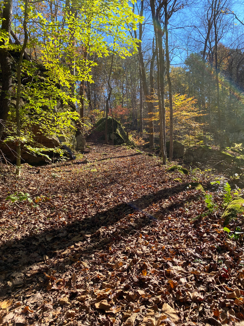
Mogan's Ridge East
Over looking one of the three ponds along the Mogan Ridge East Trail, Hoosier National Forest
Mogan's Ridge East
Key Features:
-Scenic hard wood forest
- Large meadows
- Wildflowers in spring
- Lower traffic trail
-Back country camping
Key Features:
-Scenic hard wood forest
- Large meadows
- Wildflowers in spring
- Lower traffic trail
-Back country camping
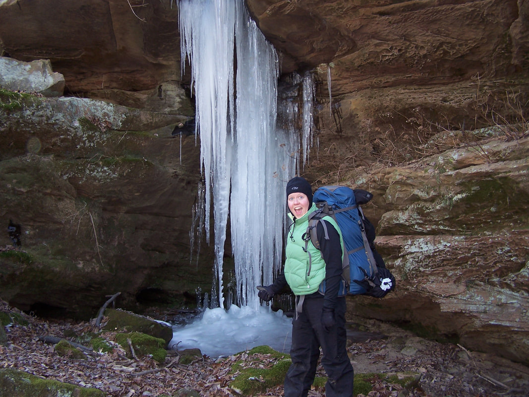
Frozen waterfall, Mogan Ridge trail, Hoosier National Forest
|
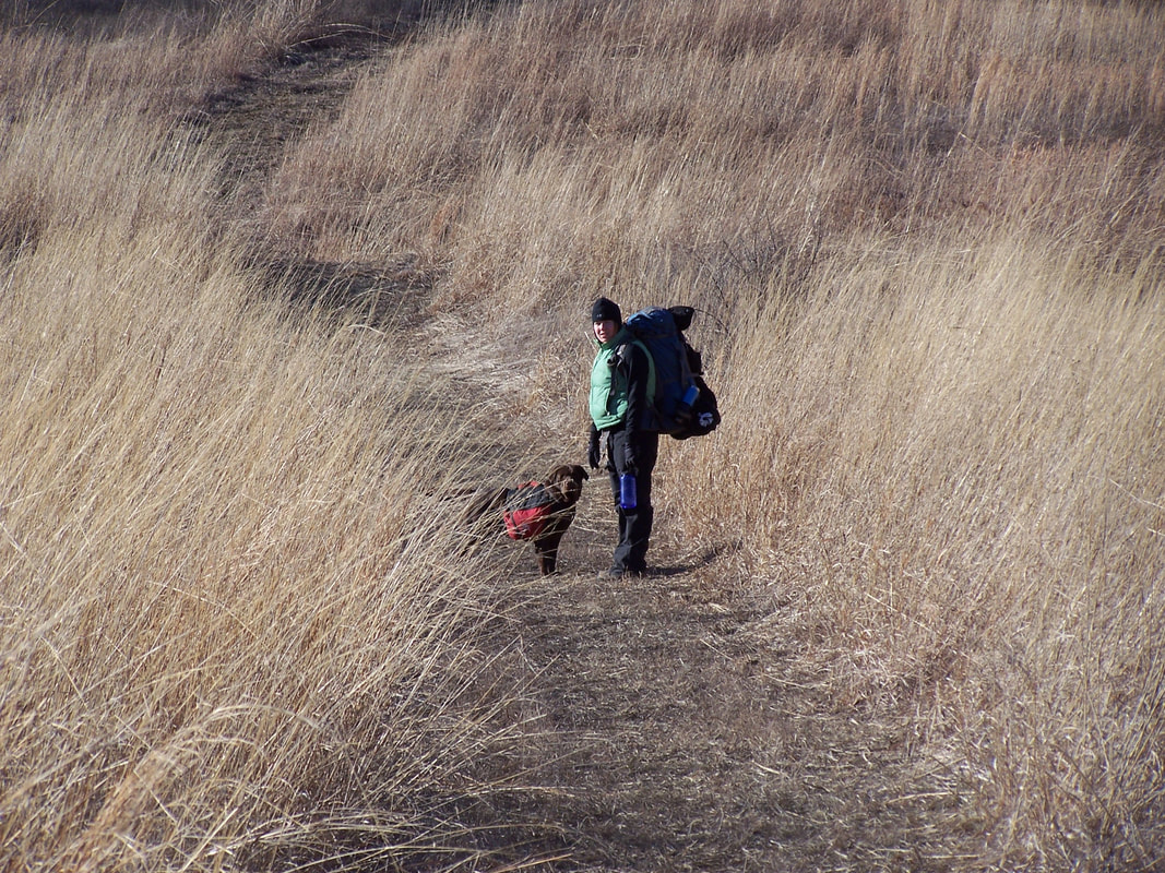
Crossing a Grassy stretch of trail, Mogan's Ridge, Hoosier national Forest
|
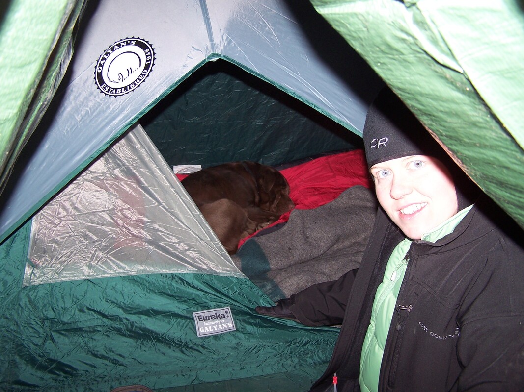
The Dog found a warm spot to sleep, Mogan's Ridge, Hoosier National Forest
|

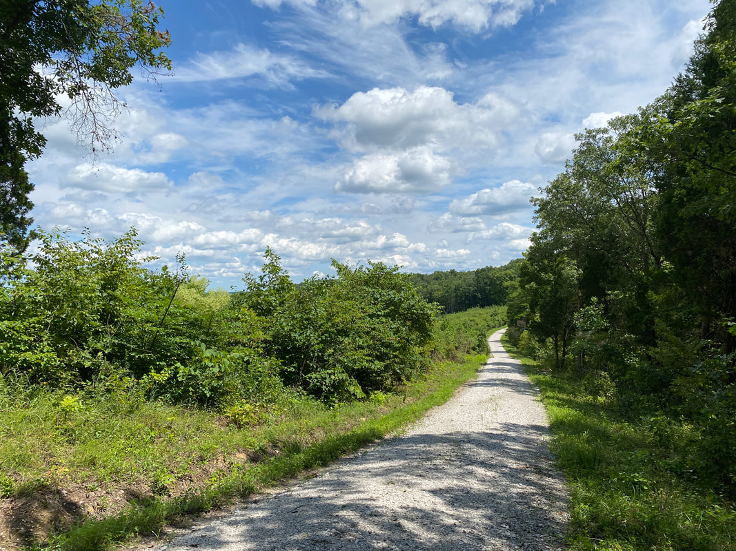
A few short sections of gravel on, Mogan Ridge West, Hoosier National Forest
|
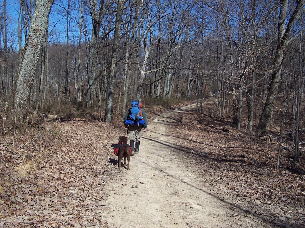
We found more dirt road walking on Mogan Ridge East, Hoosier National Forest
|
Mogan's Ridge East Trail
(12.3 miles)
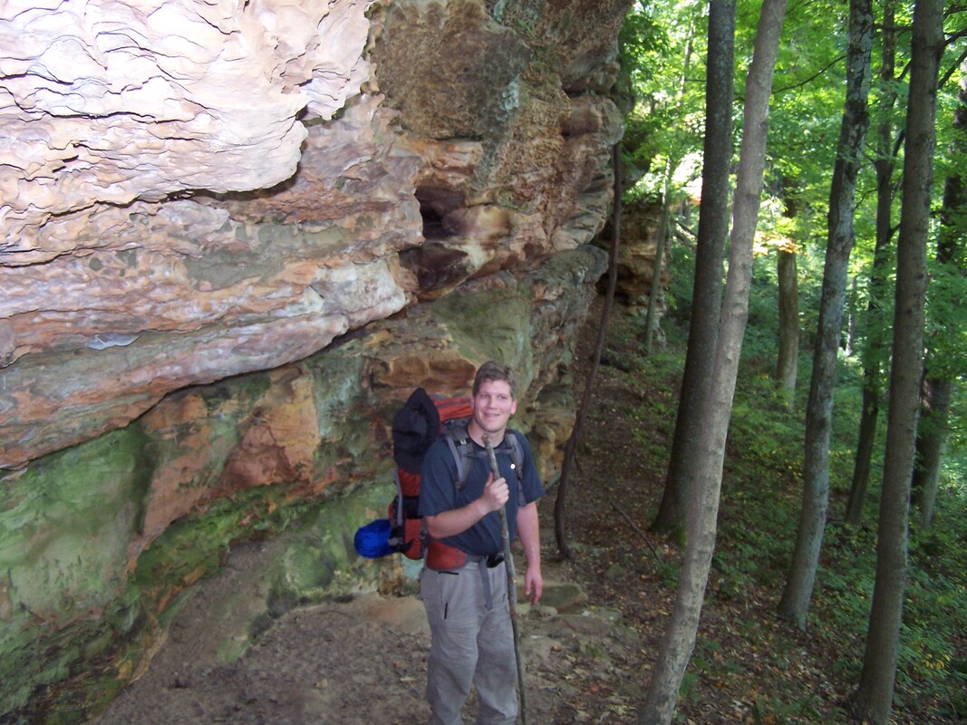
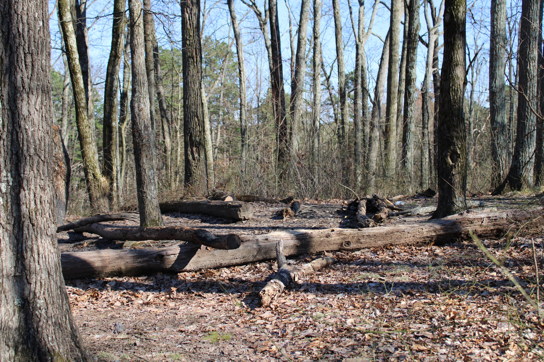
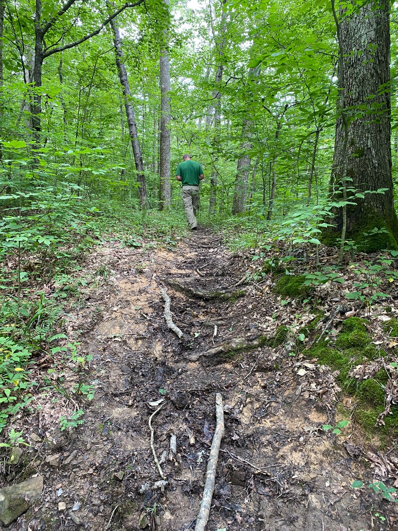
Mogan's Ridge East makes a great overnight adventure in Southern Indiana. Very few people hike this trail, so it is a wonderful trip if you are looking for seclusion and hoping to see no one else. At times they do close the trail for control burns and there is a section that follows a gravel road, but the positive features of this trail, including: hard wood forest, rock outcroppings, open meadows, and streams and ponds outweigh that small detail. We have always found this trail system to be well-maintained, but we have hiked it after a large ice storm tore down numerous trees and limbs up on the high ridges. This trail also offers numerous variety in different seasons and is a trail worthy of repeat visits in different conditions. It can also be considered a quick day hike if you are low on time or long on hours of the day.
Mogan's Ridge East, Hoosier National Forest
|
Mogan's Ridge East, Hoosier National Forest
|
Almost fall colors at Mogan's Ridge East, Hoosier National Forest
|
|
|
|
Pate Hollow Trail

A very young backpacker on the Pate Hollow Trail, Hoosier National Forest
Pate Hollow Trail
Key Features:
-Mixed hardwoods
-Views of Lake Monroe
-Multiple loop options
-Spring wild flowers
-Availability of water
-A short hike or backpack
Key Features:
-Mixed hardwoods
-Views of Lake Monroe
-Multiple loop options
-Spring wild flowers
-Availability of water
-A short hike or backpack
Pate Hollow Trail, Hoosier National Forest
|
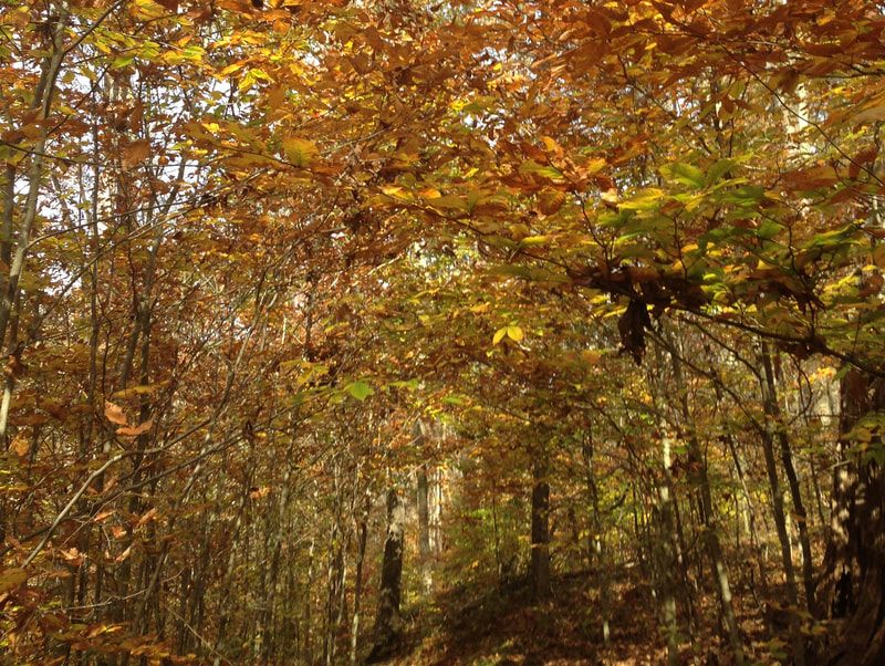
Fall colors along Pate Hollow trail, Hoosier National Forest
|
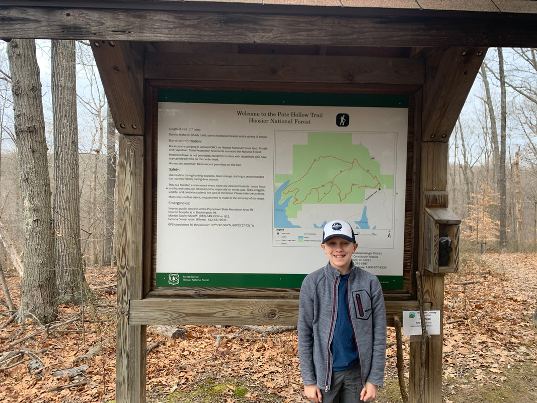
Pate Hollow, Information at trail head, Hoosier National Forest
|
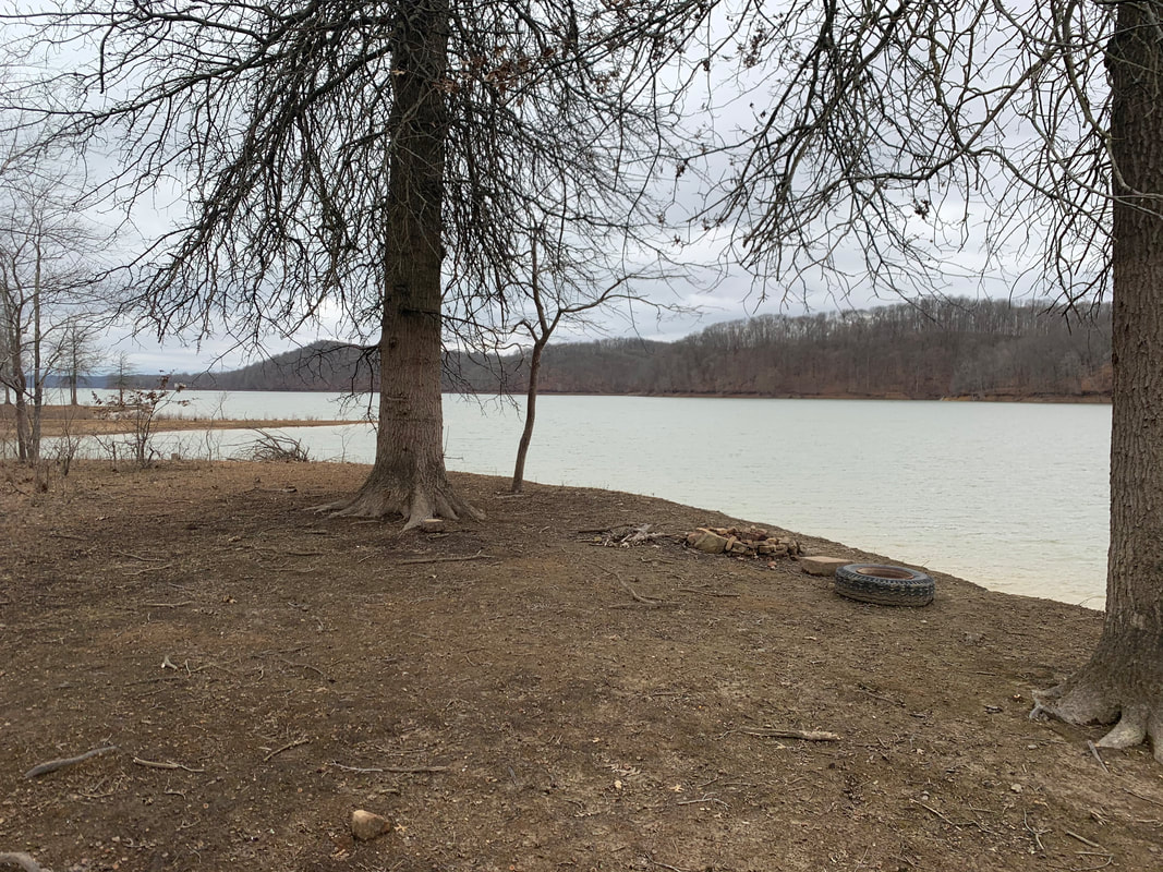
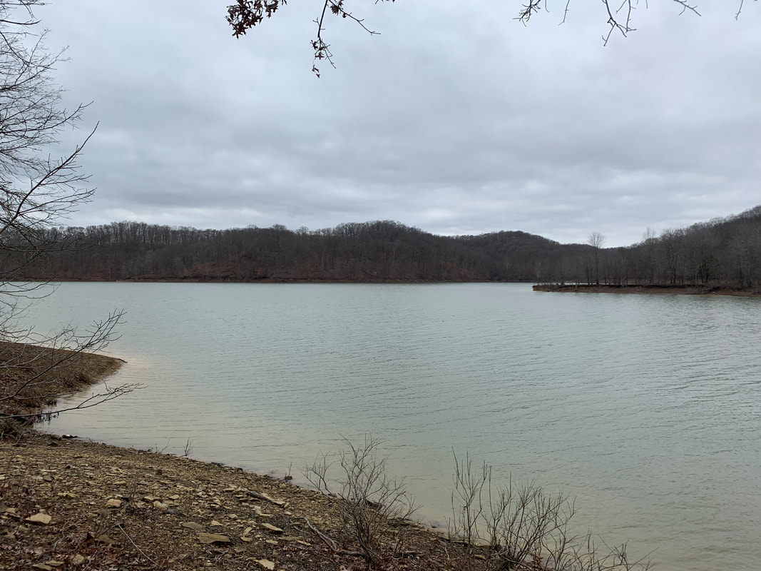
Lake Monroe, from Pate Hollow Trail, Hoosier National Forest
|

Shag bark hickory, on of my favorites, Pate Hollow Trail, Hoosier National Forest
|
The Pate Hollow Trail
(7.7 miles)
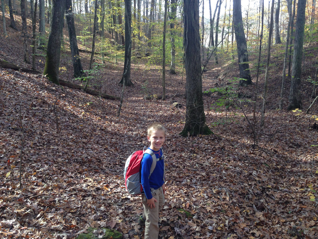
This trail is a quite popular trail in Indiana and thus expect to share the trail with runners, day hikers, and families. It is one of the newest trails in Hoosier National Forest as well. This trail begins immediately adjacent to the parking lot of the state recreation area, which is an unusual feature for Indiana. The trail immediately forks with the White Tail Trail, which is state property and thus offers no back country camping opportunities. For some reason, I always think this trail is confusing in its layout, but it is well marked and mapped, so just be aware to watch your attentiveness to the path as you hike. This short hike does have some hills, but they tend to be small rollers not extended climbs.
At a 1/2 mile will be the first of several small stream crossings for the day. These are not concerning or deep, but do require some rock hopping and you may experience some muddy conditions. After traveling a mile, view of Lake Monroe open up through the trees and lead you in and out of the fingers of the lake. The back country sites are located approximately 3 miles in and offer fire rings and nice lakeside exploring. Several species of waterfowl frequent the fingers of the lake, so keep your eyes peeled.
At a 1/2 mile will be the first of several small stream crossings for the day. These are not concerning or deep, but do require some rock hopping and you may experience some muddy conditions. After traveling a mile, view of Lake Monroe open up through the trees and lead you in and out of the fingers of the lake. The back country sites are located approximately 3 miles in and offer fire rings and nice lakeside exploring. Several species of waterfowl frequent the fingers of the lake, so keep your eyes peeled.
Lake Monroe, off Pate Hollow Trail, Hoosier National Forest
|
Campsite along the Pate Hollow Trail, Hoosier National Forest
|
Pate Hollow Trail, Hoosier National Forest
|
|
|
|
Peninsula Trail
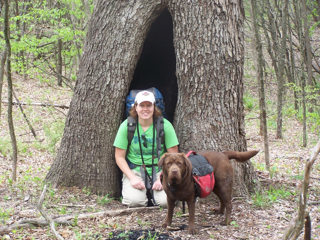
Momma Bear and Maggies checking out a hollow tree, Peninsula Trail, Deam Wilderness
Peninsula Trail
Key Features:
-Multiple sites on lake
-Downhill on way in
-Water availability
-Campsite near trail head
-Can be windy/cold
-Horses also use many of the trails in this area
Key Features:
-Multiple sites on lake
-Downhill on way in
-Water availability
-Campsite near trail head
-Can be windy/cold
-Horses also use many of the trails in this area
Backside of Peninsula Trail overlooking Lake Monroe, Hoosier National Forest
|
Peninsula Trail, Hoosier National Forest
|
Pine grove near Grubb Ridge Trail, Hoosier National Forest
|
Campsite along Grubb Ridge Trail on way to Peninsula Trail, Hoosier National Forest
|
Campsite on Lake Monroe, Hoosier National Forest
|
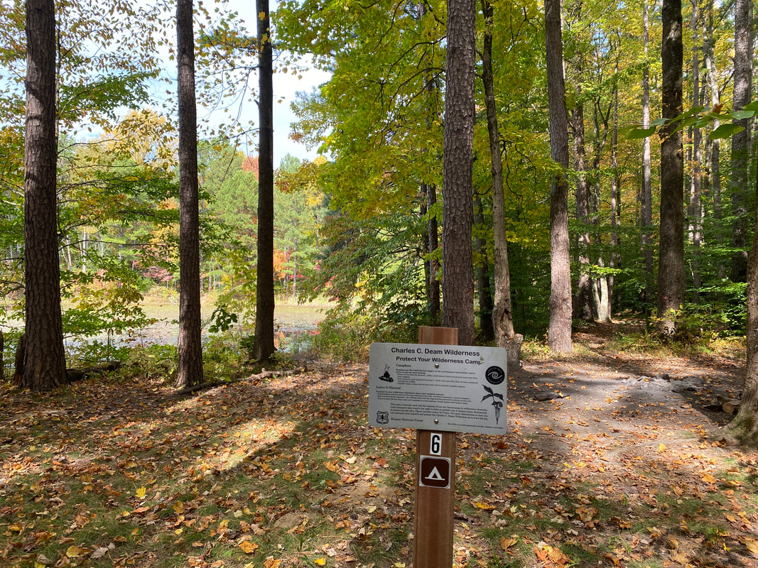
Charles Deam Wilderness
Peninsula Trail 5.3 miles
The only drawback of this trail seems to be its popularity. Perhaps the most well-known trail in the area, the Peninsula Trail gets a fair bit of use and seclusion is never a guarantee when hiking in this popular destination. This trail gets its name from its juxtaposition to Lake Monroe with wrap around views and campsites located on the tip of the peninsula. Campsites are allocated in a first come, first serve basis, and at times the hike can feel like a race to secure the best spot.
The trail itself is more or less level, and transitions into a steady, but not too steep decline as you approach the lake.
The trail itself can be wet at times and does allow horses, which adds to the wear and tear of the trail. The is also a camp site or two shortly after leaving the parking area for those who arrive on a Friday after work and need a short hike to get setup before dark.
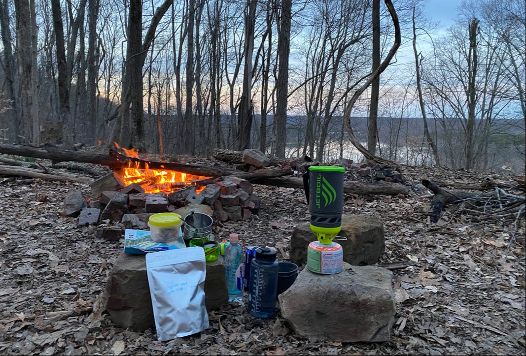
Camp kitchen in the Deam Wilderness Area, Hoosier National Forest
|
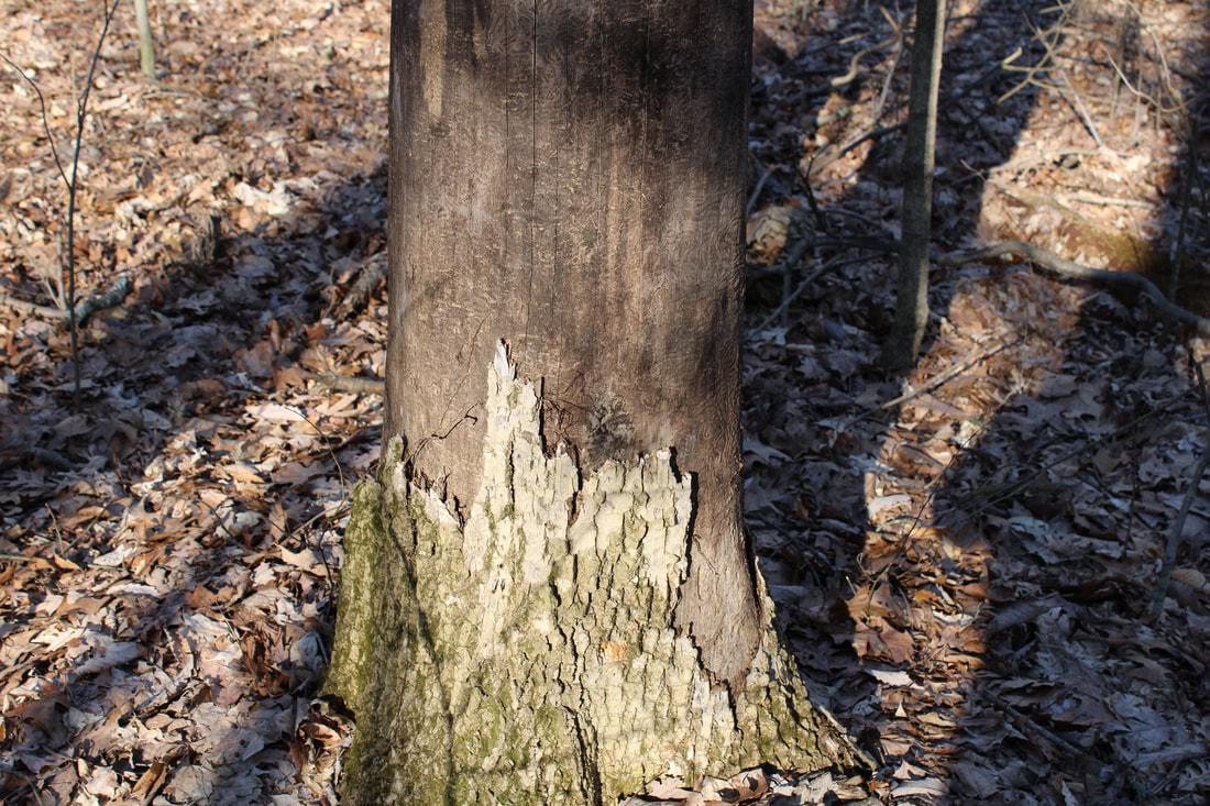
Emerald Ash Borers have killed large numbers of Ash trees in the wilderness
|
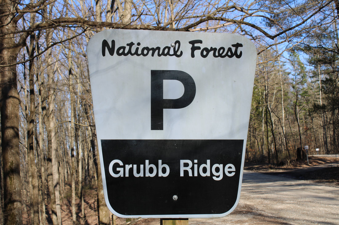
Grubb Ridge leads to the Peninsula Trail
|
|
|
|
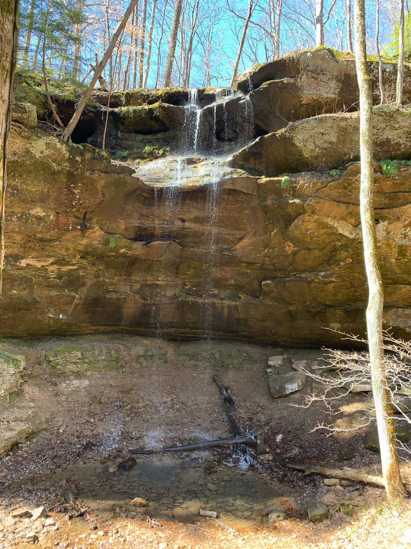
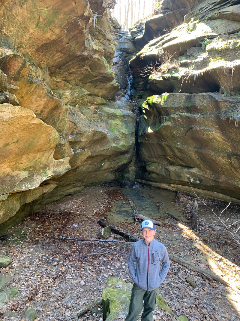
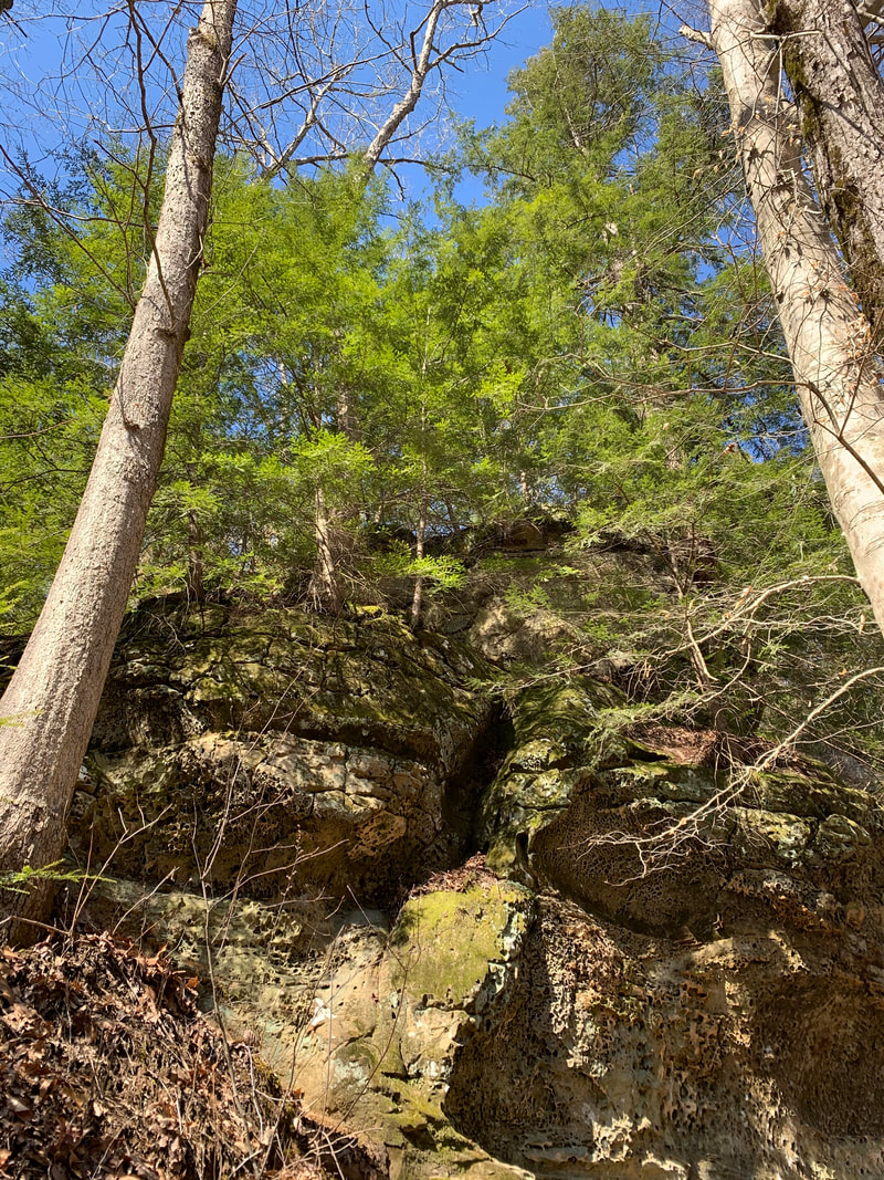
Hemlock Cliffs
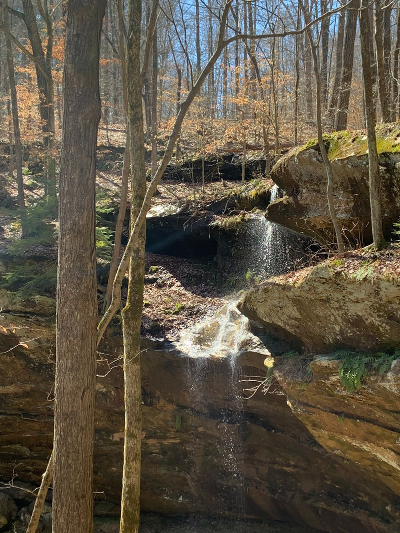
The small falls above the southern falls, Hemlock Cliffs, Hoosier National Forest
Hemlock Cliffs Trail
Key Features:
-Mixed hardwoods
-Cliffs, boulder, rock formations
-Seasonal water falls
-Unique flora
-Popular day hike
-A short hike
Key Features:
-Mixed hardwoods
-Cliffs, boulder, rock formations
-Seasonal water falls
-Unique flora
-Popular day hike
-A short hike
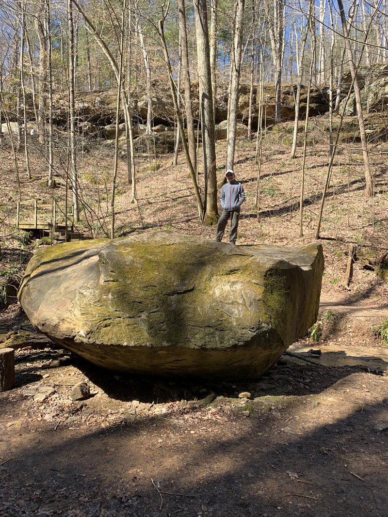
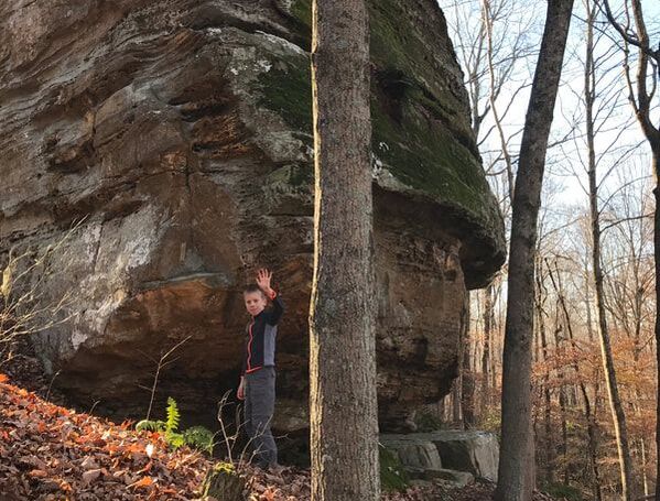
Our rock hopper on top, Hemlock Cliffs, Hoosier National Forest
|
Top of the south falls, Hemlock cliffs, Hoosier National Forest
|
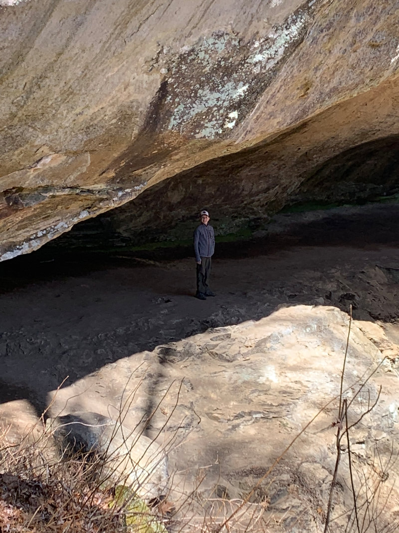
Behind the northern falls, hemlock Cliffs, Hoosier National Forest
|
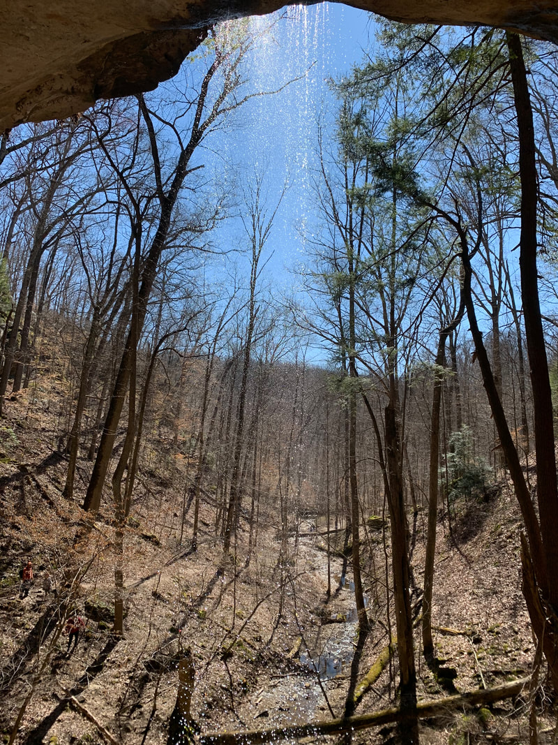
The north falls, Hemlock Cliffs, Hoosier National Forest
|
The south falls, Hemlock Cliffs, Hoosier National Forest
|
Hemlock Cliffs
(1.4 miles)
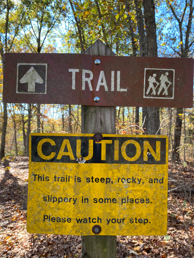
Just a short drive north from I-64 is a hidden gem of a day hiking opportunity. At just under a mile and half, the Hemlock Cliffs loop is more of a sight seeing adventure than a hike, but it is worthy of a visit non the less. After zigzagging down about 5 miles of backroads, you come to the familiar signage of Hoosier National Forest and a parking lot with ample space and a turn around loop.
You need only pack some water and a possible snack for this hike as you are never far from the parking lot and never in need of many emergency items. Our visit on one of the first warm, early spring Saturdays found the lot to be 3/4 full with 22 cars there. This was quite a surprise to us, but we soon discovered why. The ease of access and numerous sights made this a family friendly outing and the trail had representation from all age groups.
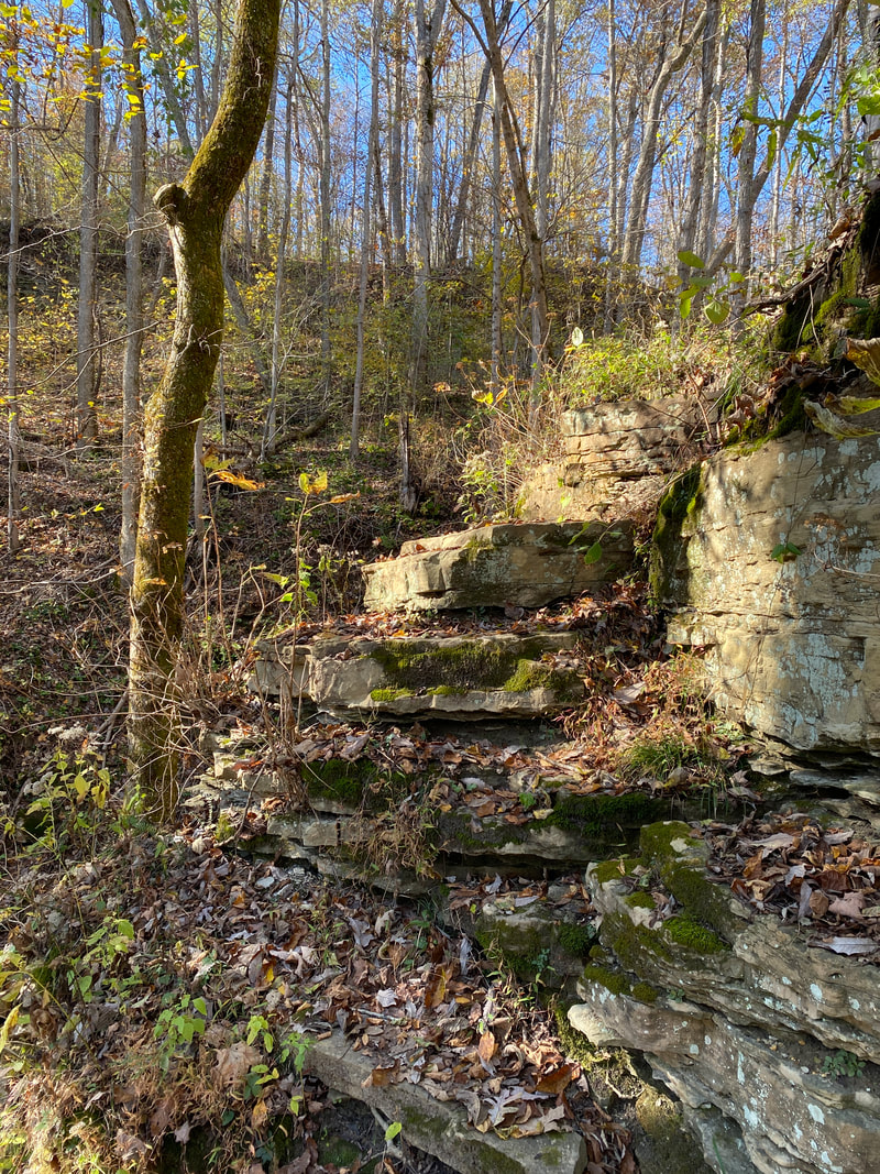
Technically the trail descends on the way in and ascends on the way out and there is one set of stairs with around 100 steps, but there are numerous ways to traverse the trail, from stone steps to hillsides, and I honestly never much noticed any spots that winded me out of the ordinary.
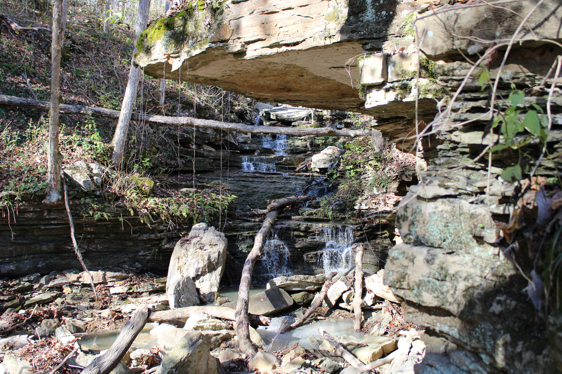
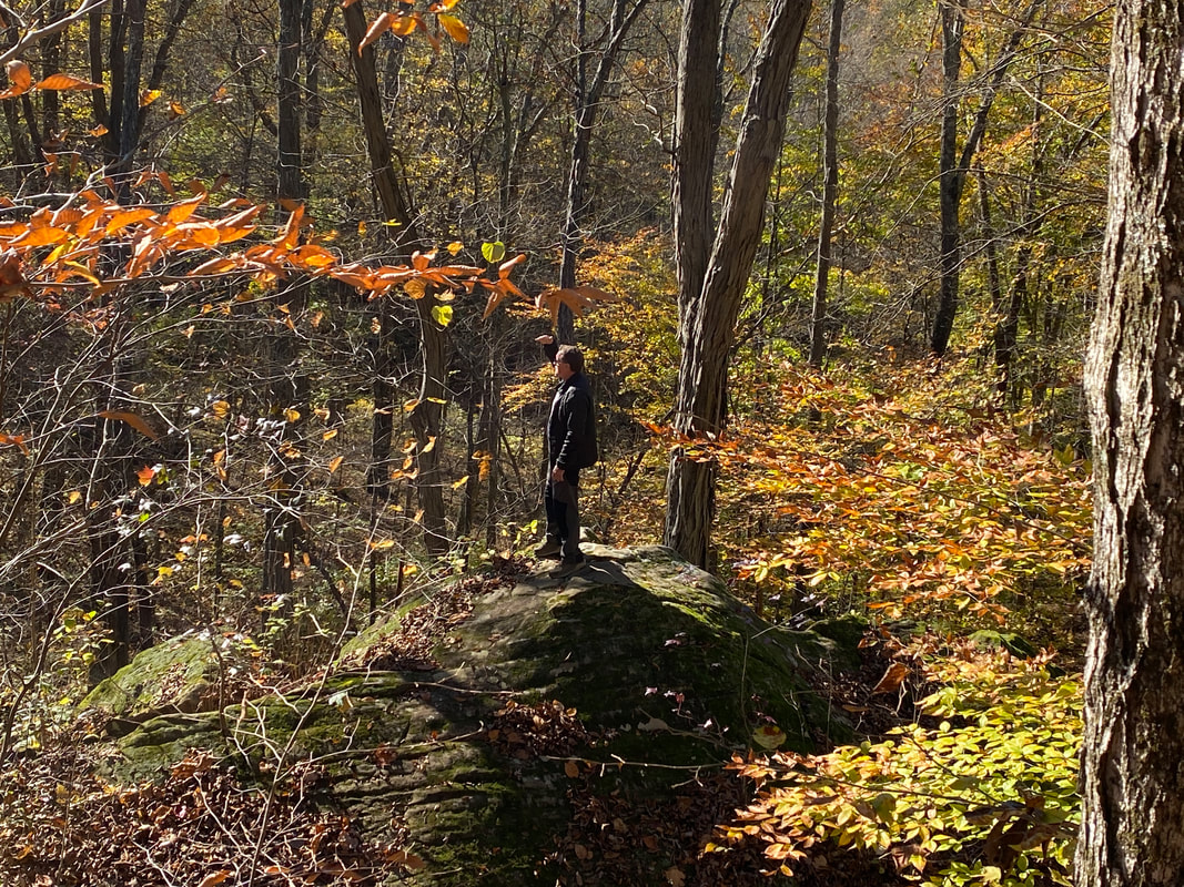
The main features of this trail include 3 “waterfalls” where rainwater and small drainage streams fall over precipitous cliffs. Hikers can get right up next to and under the falls safely, which is the real draw of this hike. There was a little mud and a little spray off the falls, but the whole area is very accessible, safe, and intriguing. The various massive boulders, recesses, cliffs, and logs made this area a high interest spot for kids (and kids at heart).
There were many great photo opportunities surrounding the falls, it just required a bit of patience and sharing amongst the groups hiking together. If caught in a downpour the rocks could present a slippery challenge, but on a normal Indiana day, hikers can decide on their own comfort with the rock scrambling offered here.
Overall, this makes for a very nice quick adventurous day to share with your most hesitant hiker friends and family. We plan on visiting sometime in the winter to see how the falls might ice up. Just up the road is another great day hike: Yellow Birch Ravine.
You need only pack some water and a possible snack for this hike as you are never far from the parking lot and never in need of many emergency items. Our visit on one of the first warm, early spring Saturdays found the lot to be 3/4 full with 22 cars there. This was quite a surprise to us, but we soon discovered why. The ease of access and numerous sights made this a family friendly outing and the trail had representation from all age groups.
Technically the trail descends on the way in and ascends on the way out and there is one set of stairs with around 100 steps, but there are numerous ways to traverse the trail, from stone steps to hillsides, and I honestly never much noticed any spots that winded me out of the ordinary.
The main features of this trail include 3 “waterfalls” where rainwater and small drainage streams fall over precipitous cliffs. Hikers can get right up next to and under the falls safely, which is the real draw of this hike. There was a little mud and a little spray off the falls, but the whole area is very accessible, safe, and intriguing. The various massive boulders, recesses, cliffs, and logs made this area a high interest spot for kids (and kids at heart).
There were many great photo opportunities surrounding the falls, it just required a bit of patience and sharing amongst the groups hiking together. If caught in a downpour the rocks could present a slippery challenge, but on a normal Indiana day, hikers can decide on their own comfort with the rock scrambling offered here.
Overall, this makes for a very nice quick adventurous day to share with your most hesitant hiker friends and family. We plan on visiting sometime in the winter to see how the falls might ice up. Just up the road is another great day hike: Yellow Birch Ravine.
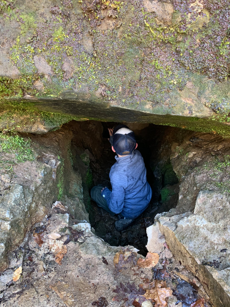
Possible cave? Hemlock Cliffs, Hoosier National Forest
|
Another drainage into the valley, Hemlock Cliffs, Hoosier National Forest
|
Hemlocks on the cliffs, Hoosier National Forest
|
|
|
|
German Ridge Trail
German Ridge Trail
Key Features:
-Horse trails
-Overgrown at times
-Less water availability
-Few established campsites
-Numerous connectors
Key Features:
-Horse trails
-Overgrown at times
-Less water availability
-Few established campsites
-Numerous connectors
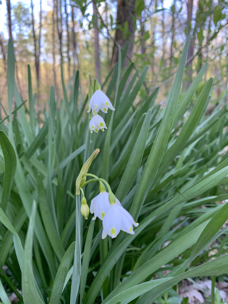
Summer Snowflake, German Ridge, Hoosier National Forest
|
Wide easy trails, German Ridge, Hoosier National Forest
|
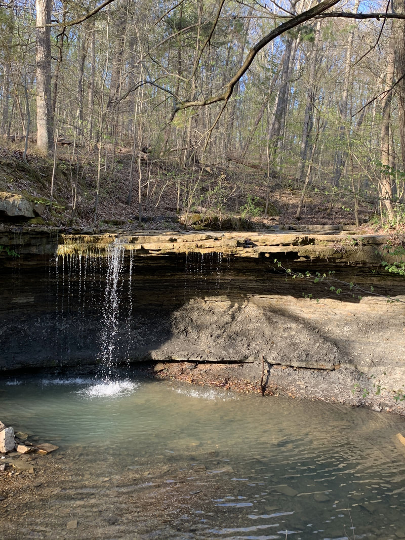
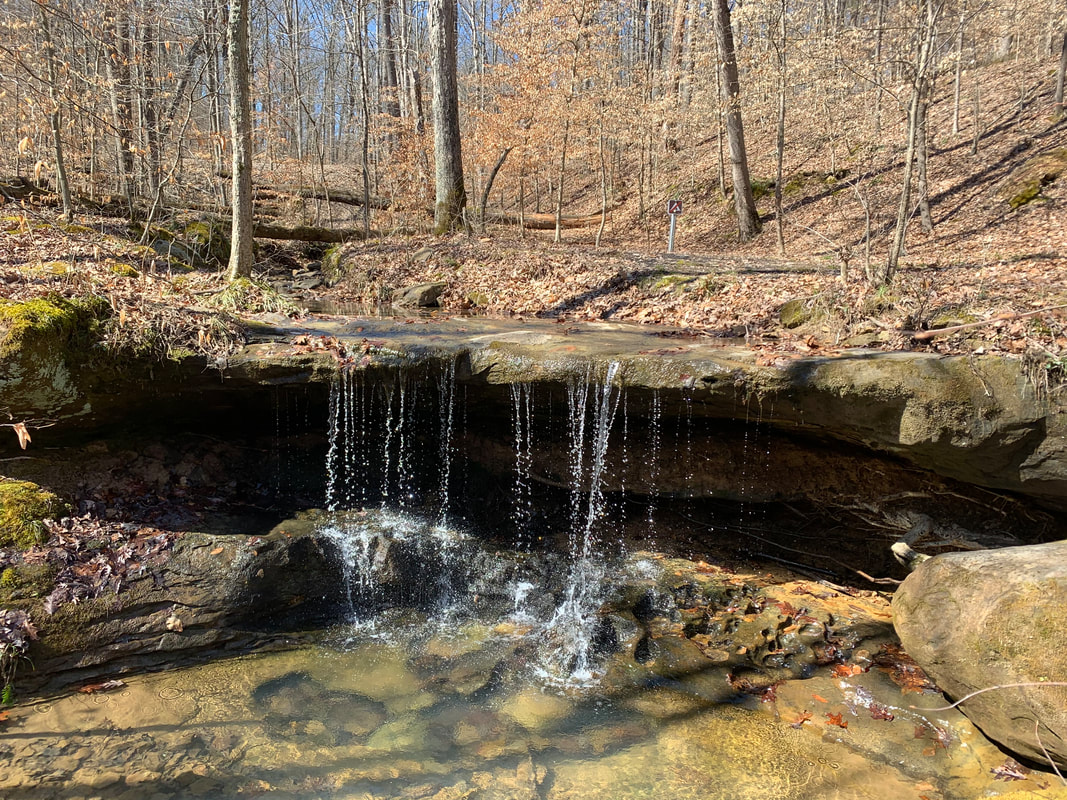
Popular water fall near trail head, German Ridge, Hoosier National Forest
|
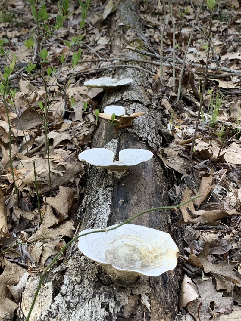
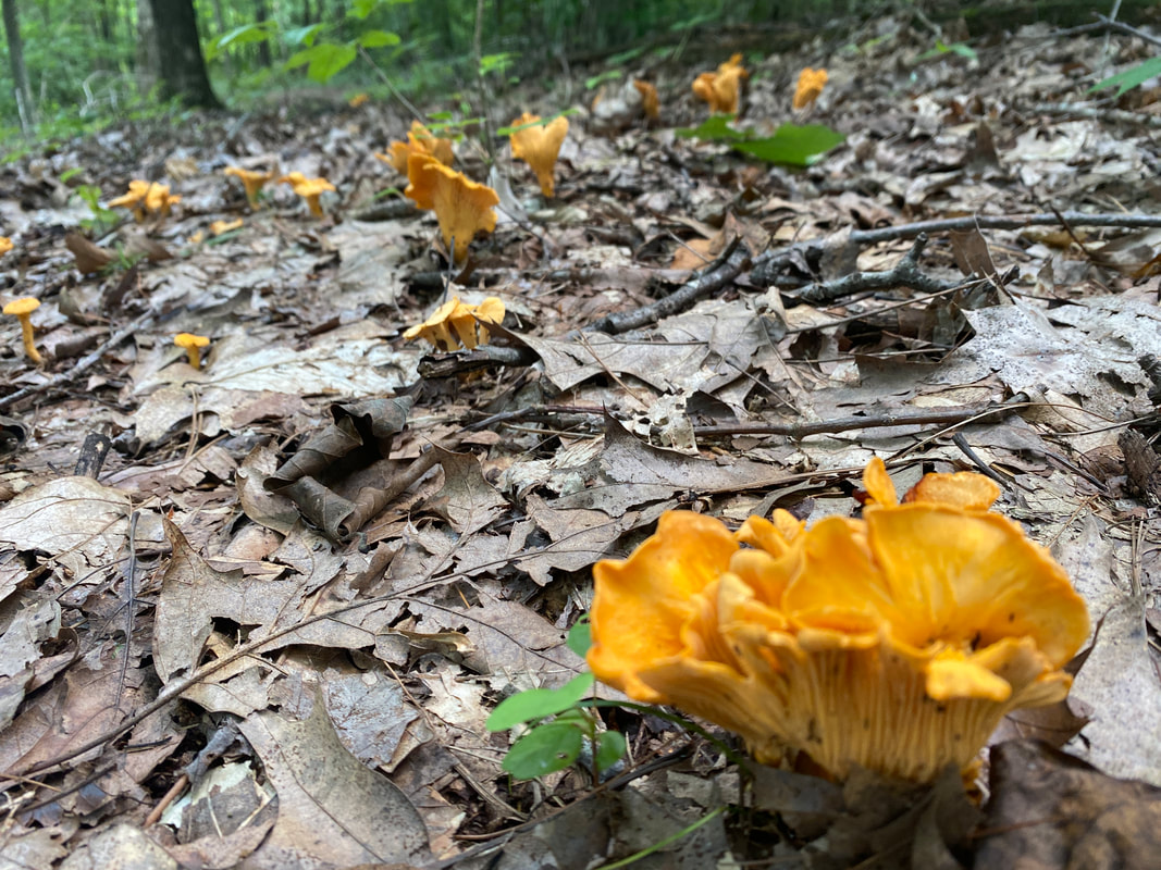
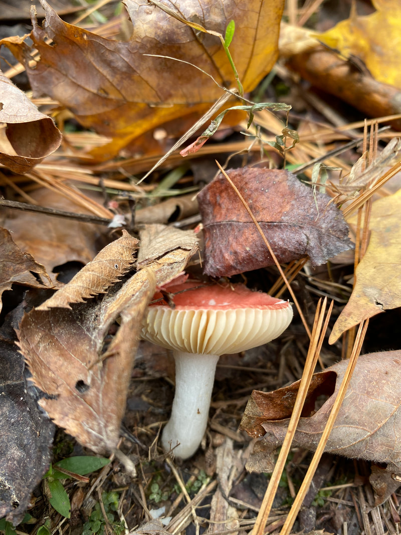
Spring mushrooms growing along the trail, German's Ridge, Hoosier National Forest
|
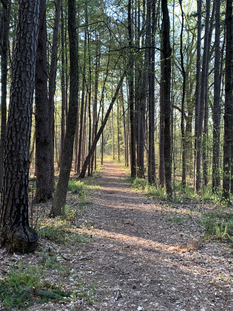
Trail, German Ridge, Hoosier National Forest
|
German's Ridge
(various mile options)
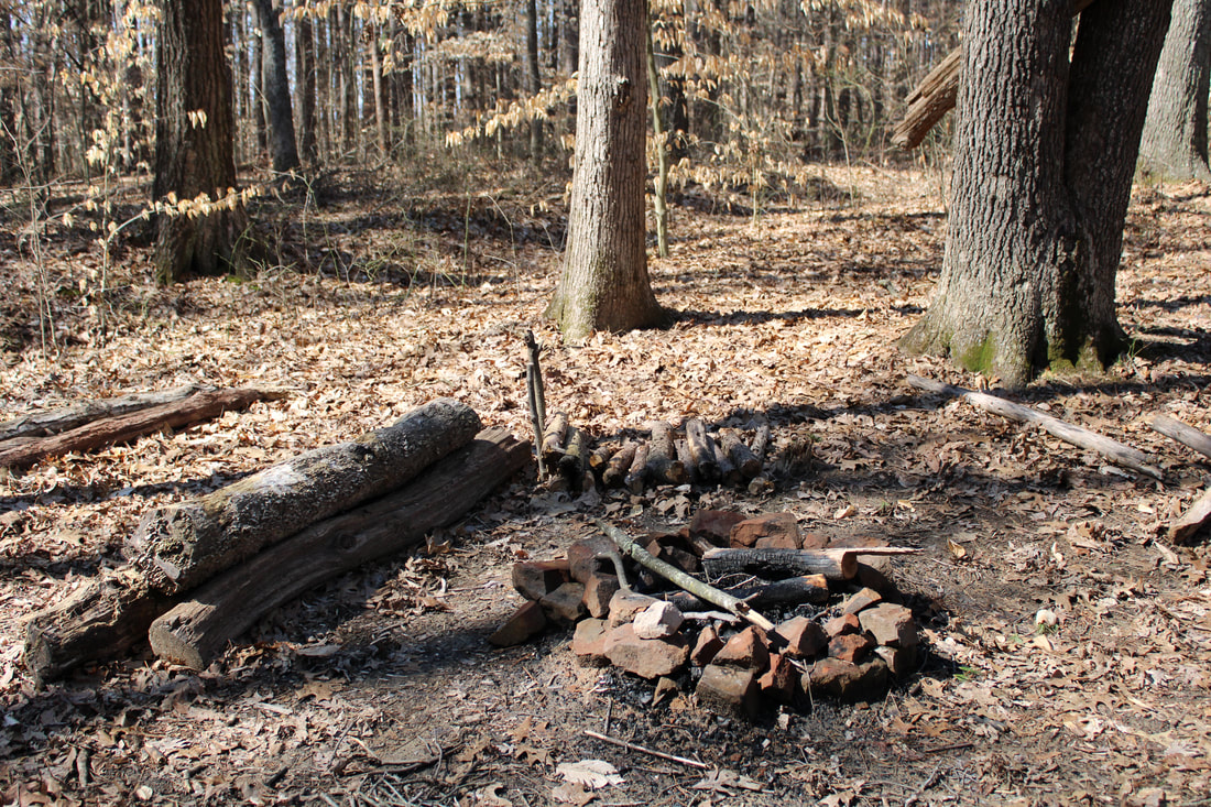
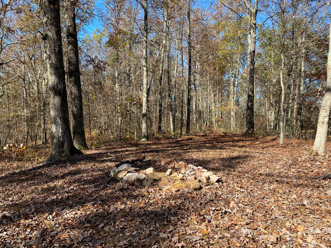
German's Ridge is one of the most unusual trial systems in Hoosier National Forest because it makes a series of loops and offers countless hiking variations. There is no set pinnacle destination on the trail, but somehow the interesting rock outcroppings and stream meanderings make for a very enjoyable hiking day. As for wildlife, this is the only trail in HNF that we have caught sight of a coyote in the daylight. Immediately after the parking area, you will find a small campsite and nearby waterfall. It's nothing to write home about, but is a nice little feature none the less. This trail has the feel of a deep woods, old forest hike. Most of the journey will be among hard woods as you follow the ridges through the various loop systems. This trail is known for large pedestal boulders along the creek system and is where most hikers lunch or overnight. There is even a picnic table, which we are still uncertain how it found its way there.
Creek crossing , German Ridge, Hoosier National Forest
|
Campsite, German Ridge, Hoosier National Forest
|
Taking a break, German Ridge, Hoosier National Forest
|
|
|
|
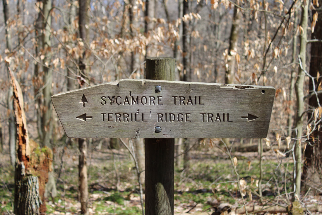
Deam Wilderness Sycamore Trail
Campsite #5, Sycamore Trail, Deam Wilderness
Key Features:
-Cool fire tower at parking area / Trail head
-More or less a Loop trail
-Water available for about 1/3 of the trail
-Hiker only trail no horses
- Very popular
- Stream side campsites
-Cool fire tower at parking area / Trail head
-More or less a Loop trail
-Water available for about 1/3 of the trail
-Hiker only trail no horses
- Very popular
- Stream side campsites
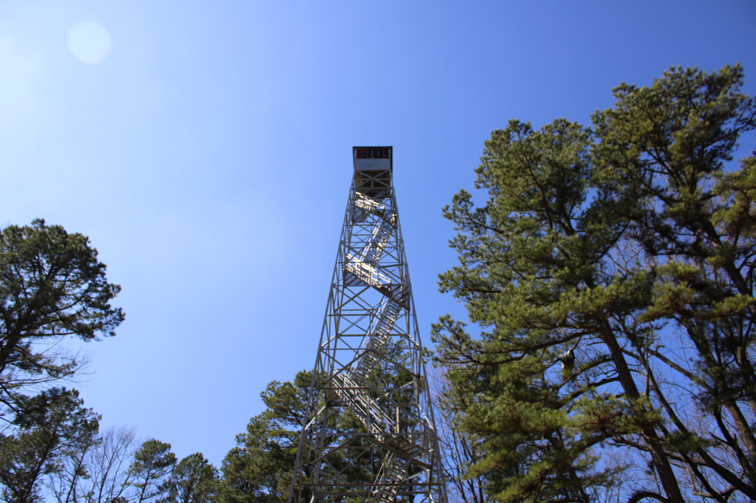
Hickory Ridge Fire Tower, Last Fire tower in Hoosier National Forest
|
Sycamore Creek, Deam Wilderness
|
Clearly marked trails, Deam Wilderness
|
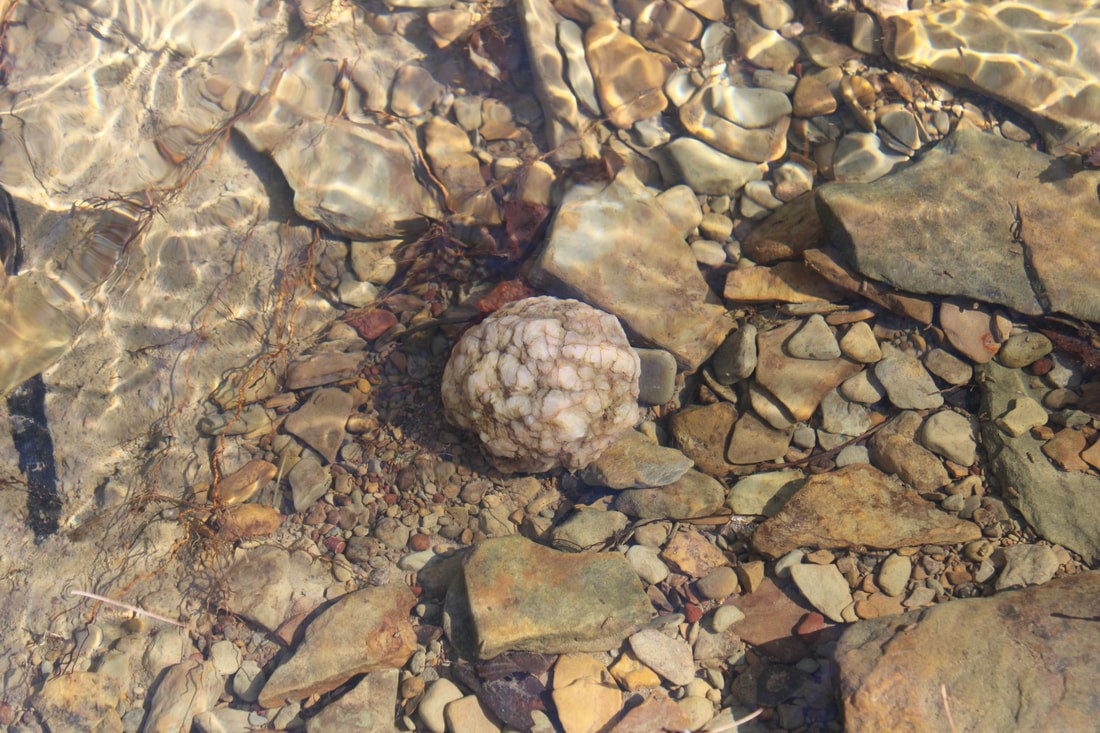
Geode in Sycamore Creek, Deam Wilderness
|
Sycamore Trail, Deam Wilderness
|
Sycamore Loop Trail
(6Miles)
At 6 miles, Sycamore Loop is a very traditional Hoosier National Forest day hike. Starting at the Hickory Ridge fire tower, you might find the lot rather full, but this is just a central point for many bikers and day adventurers and we have never found the trail very crowded. The trail is a loop, so depending on which direction you elect to travel, you will either have a moderate downhill or some quick switchbacks to arrive at the valley floor. The trail is a bit eroded and washed out in some areas and we found it pretty wet and muddy in some areas in the spring. All spots were able to be navigated quickly, so it was more of a minor annoyance.
The highlight of this trail are the creek side campsites that have each been well-designed and well-stocked with rock fire rings. The sites are all appropriately spread out from one another, offer a soft pine floor, and provide water and entertainment next to the decently sized creek. A few creative stream crossings will be required to keep your feet dry, these may be a challenge for young or old hikers.
The highlight of this trail are the creek side campsites that have each been well-designed and well-stocked with rock fire rings. The sites are all appropriately spread out from one another, offer a soft pine floor, and provide water and entertainment next to the decently sized creek. A few creative stream crossings will be required to keep your feet dry, these may be a challenge for young or old hikers.
Campsite #4, Sycamore Trail, Deam Wilderness
|
Campsite #3, Sycamore Trail, Deam Wilderness
|
Campsite #1 Sycamore Trail, Deam Wilderness
|
|
|
|
Springs Valley
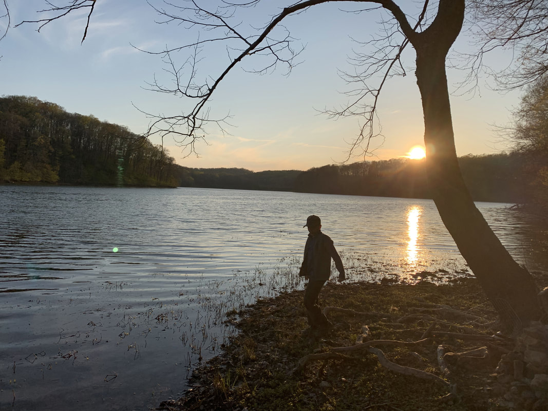
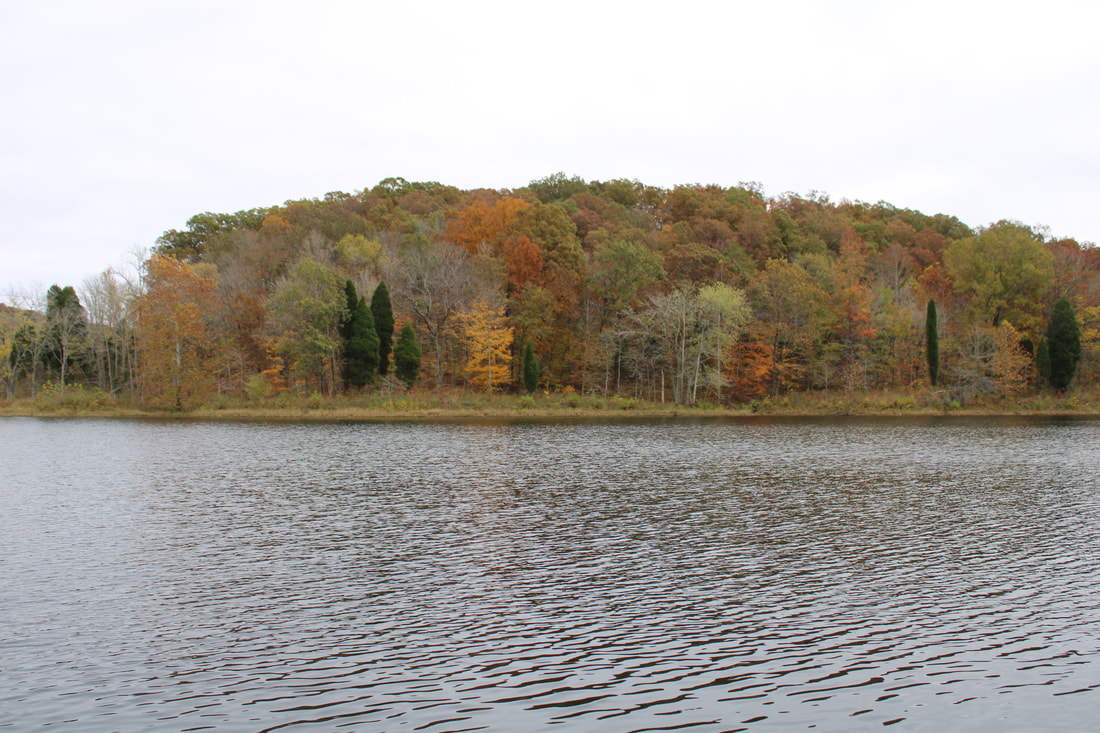
Sunset on Springs Valley Lake, Hoosier National Forest
Springs Valley Trail
Key Features:
-Multi-use trail
-Wide with a gravel base
-Water was readily available
-Few established campsites
-Horses are common
-Spring wild flowers
- Buffalo Trace along parts of trail
Key Features:
-Multi-use trail
-Wide with a gravel base
-Water was readily available
-Few established campsites
-Horses are common
-Spring wild flowers
- Buffalo Trace along parts of trail
Springs Valley Trail, Hoosier National Forest
|
Creek crossing, Springs Valley Trail, Hoosier National Forest
|
Old homestead, Springs Valley Trail, Hoosier National Forest
|
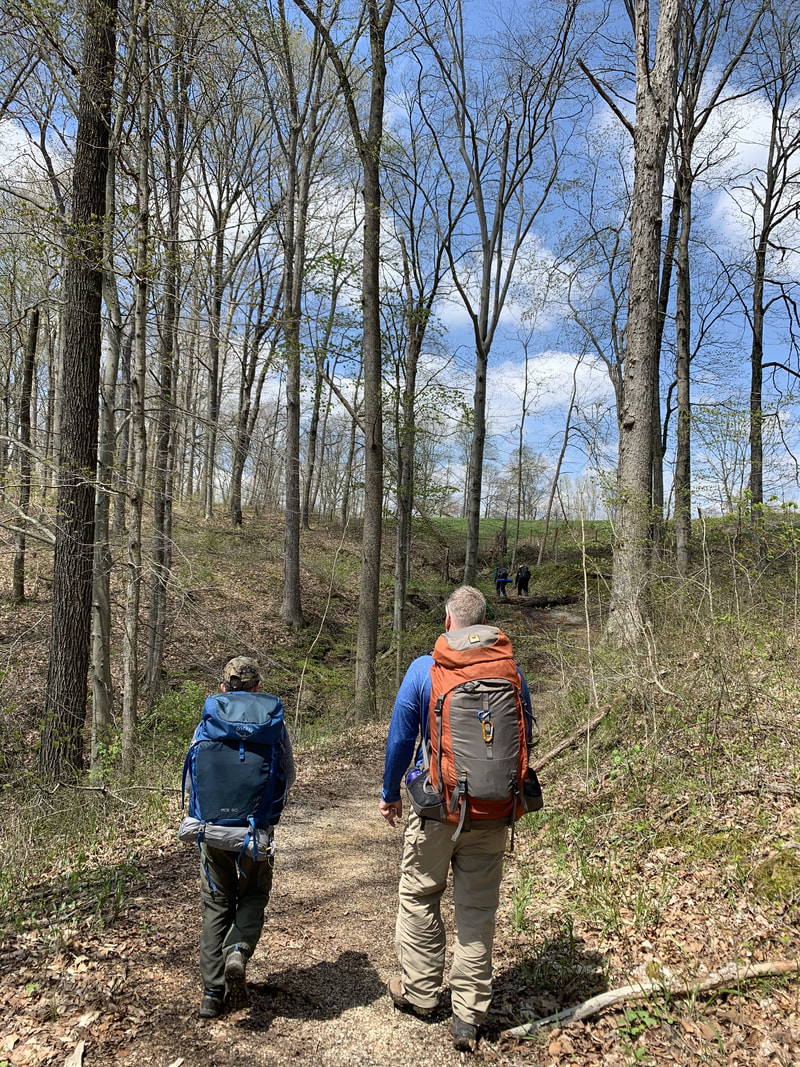
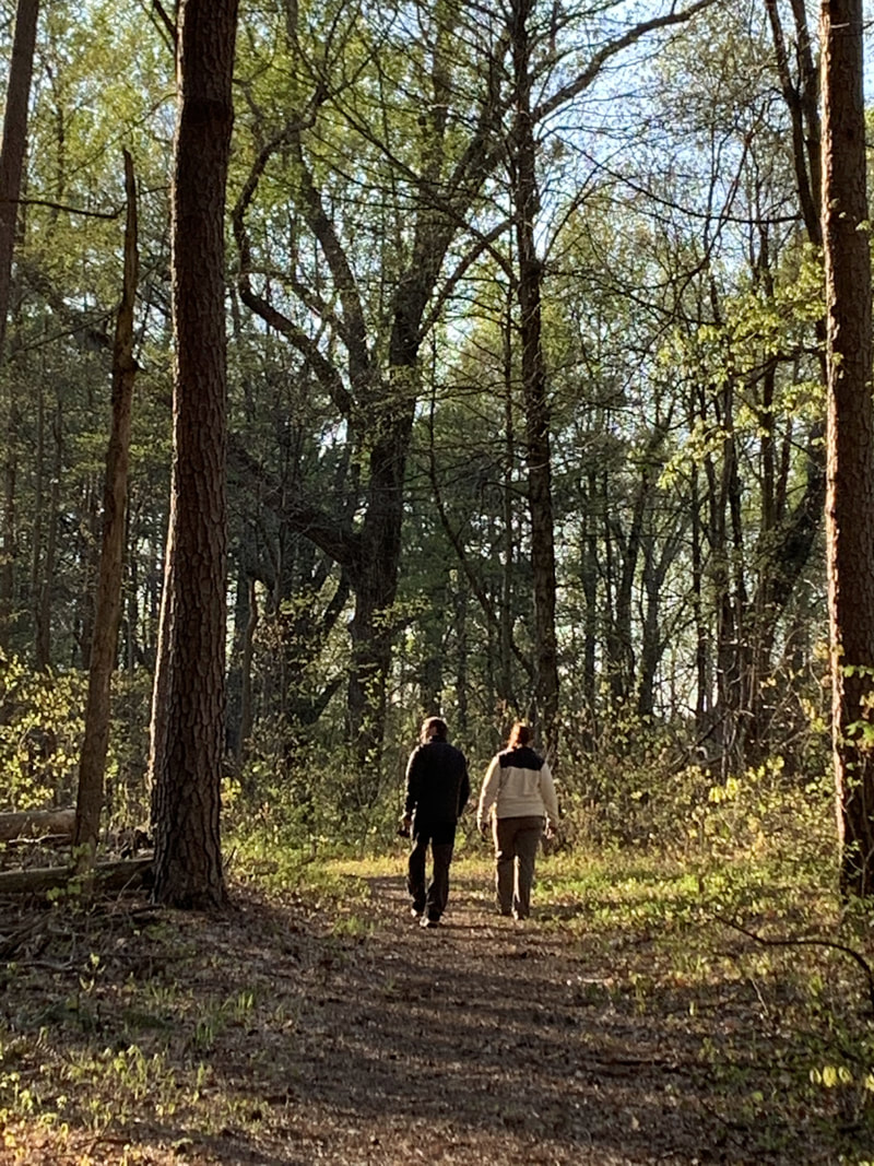
Hiking buddies, Springs Valley, Hoosier National Forest
|
Campsite, Springs Valley Trail, Hoosier National Forest
|
Springs Valley Trail
(Various mile options @ 7-11+ miles)
Hidden away in Hoosier National Forest is a little gem of an outdoor adventure at Springs Valley (also called Tucker Lake.) This was one of the last places we made it to in Southern Indiana, and judging by the traffic on a spring Saturday, clearly we were missing out. We planned for a short overnight trip and were really hiking blind as we knew no one who had been there and found little information provided on what backpacking it offered. What we found was a well-marked, well-maintained, and well-used trail. This location is realistically more suited as a day hike with the easy conditions and shorter mileage, and would make for a good after work, late start adventure.
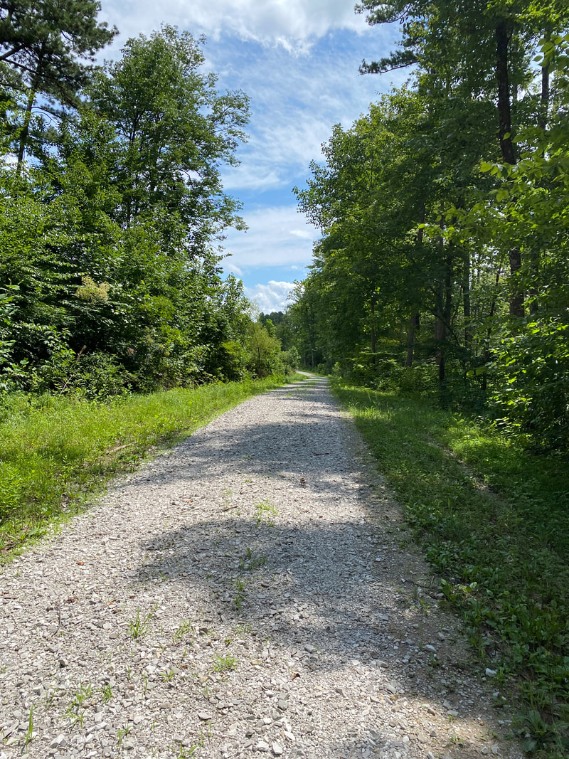
The trail is mostly made up of a light gravel bed under foot to protect it from the horse traffic. It averages about 6-8 feet wide as it progresses through a young forest, in and out of the fingers of the lake and up and down the terrain that drains creating the reservoir. It has a relatively small main body of water, but 3 large fingers give this 141 acre lake more size than first meets the eye. There are at least 3 parking areas to begin from: the boat launch parking lot, the dam access road, and the horse trail starting lot. We went counterclockwise around the lake from the main boat launch, which seemed to be the lesser starting point of most hikers and horseback riders on our Saturday.
The few trail reports we did find had hikers stating it was muddy or gravel, which we couldn't quite figure possible, but quickly understood how those two things coexist. It was predominantly gravel, but it was a very fine, dug in gravel that was not typical. Due to the continued horse traffic, it did have numerous muddy areas where the trail did not drain adequately with the constant erosion from horses. However, on this spring day, we found the mud easy to navigate and minimally messy.
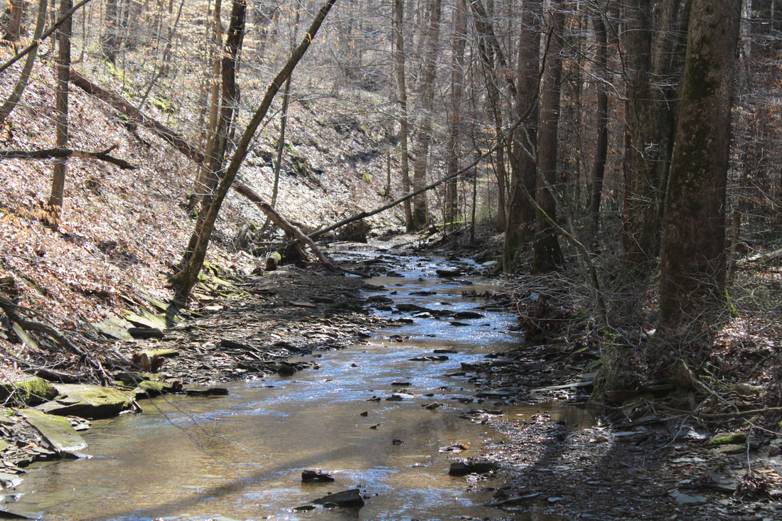
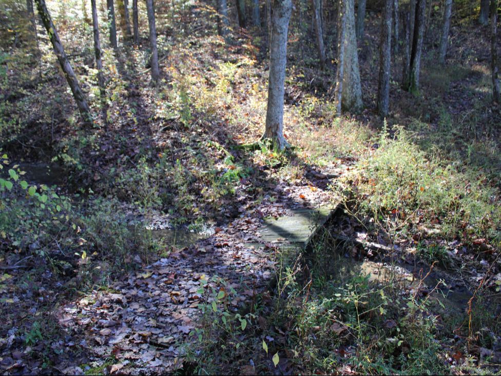
Since the trail follows so many hills and valley of drainage feeding the lake, we had numerous creek crossings that kept the day interesting. Most were no deeper than hip level, and all had shallow areas with either log crossings or rock crossings to keep your feet "mostly" dry.
This trail also had a unique Indiana Historic Landmark of a "Buffalo Trace," an area where millions of buffalo were known to traverse from Illinois and Indiana on their way to the salt licks of Kentucky, thus leaving a deep, dug in trail that was utilizes by Native Americans and early settlers as a primitive highway. Now it is simple a channel carved into the landscape, but it was clear to see how valuable this would have been to early Hoosiers.
What was missing for most HNF backpacking adventures was many options for campsites. We counted only 3 areas where any established sites were located, or quite frankly, one might want to camp. One area, by the dam, was clearly a local hangout and unfortunate was littered with trash and probably hopping on a nice weekend. The other two sites were directly across from the boat launch on a point that jutted out into the water and offered amazing sunset, lake side camping with rock fire pits. The primo site even had a picnic table. However, we did not make it early enough to beat the paddlers that picked that spot. Read my blog on "second best campsites"
Our day one was a nice spring warm up at 6 miles and left only 2.5 for the next day's way out. However, perhaps the most unique features of Spring Valley were here and surprised us the next morning. A beautiful creek valley would make for a fun day of exploration with kids, as well as a small wild cave on the north side of the lake. This cave was just narrow enough to get your heart pumping, but safe enough to have been spray painted by previous cavers indicating the safest passage as to not get lost. Unprepared with knee pads, and hiking with mixed company of non-cavers, we left deep exploration of the cave for another day.
All in all, Springs Valley would be a great little kayak camping spot on a short trip or an excellent winter day hike for a longer day.
The trail is mostly made up of a light gravel bed under foot to protect it from the horse traffic. It averages about 6-8 feet wide as it progresses through a young forest, in and out of the fingers of the lake and up and down the terrain that drains creating the reservoir. It has a relatively small main body of water, but 3 large fingers give this 141 acre lake more size than first meets the eye. There are at least 3 parking areas to begin from: the boat launch parking lot, the dam access road, and the horse trail starting lot. We went counterclockwise around the lake from the main boat launch, which seemed to be the lesser starting point of most hikers and horseback riders on our Saturday.
The few trail reports we did find had hikers stating it was muddy or gravel, which we couldn't quite figure possible, but quickly understood how those two things coexist. It was predominantly gravel, but it was a very fine, dug in gravel that was not typical. Due to the continued horse traffic, it did have numerous muddy areas where the trail did not drain adequately with the constant erosion from horses. However, on this spring day, we found the mud easy to navigate and minimally messy.
Since the trail follows so many hills and valley of drainage feeding the lake, we had numerous creek crossings that kept the day interesting. Most were no deeper than hip level, and all had shallow areas with either log crossings or rock crossings to keep your feet "mostly" dry.
This trail also had a unique Indiana Historic Landmark of a "Buffalo Trace," an area where millions of buffalo were known to traverse from Illinois and Indiana on their way to the salt licks of Kentucky, thus leaving a deep, dug in trail that was utilizes by Native Americans and early settlers as a primitive highway. Now it is simple a channel carved into the landscape, but it was clear to see how valuable this would have been to early Hoosiers.
What was missing for most HNF backpacking adventures was many options for campsites. We counted only 3 areas where any established sites were located, or quite frankly, one might want to camp. One area, by the dam, was clearly a local hangout and unfortunate was littered with trash and probably hopping on a nice weekend. The other two sites were directly across from the boat launch on a point that jutted out into the water and offered amazing sunset, lake side camping with rock fire pits. The primo site even had a picnic table. However, we did not make it early enough to beat the paddlers that picked that spot. Read my blog on "second best campsites"
Our day one was a nice spring warm up at 6 miles and left only 2.5 for the next day's way out. However, perhaps the most unique features of Spring Valley were here and surprised us the next morning. A beautiful creek valley would make for a fun day of exploration with kids, as well as a small wild cave on the north side of the lake. This cave was just narrow enough to get your heart pumping, but safe enough to have been spray painted by previous cavers indicating the safest passage as to not get lost. Unprepared with knee pads, and hiking with mixed company of non-cavers, we left deep exploration of the cave for another day.
All in all, Springs Valley would be a great little kayak camping spot on a short trip or an excellent winter day hike for a longer day.
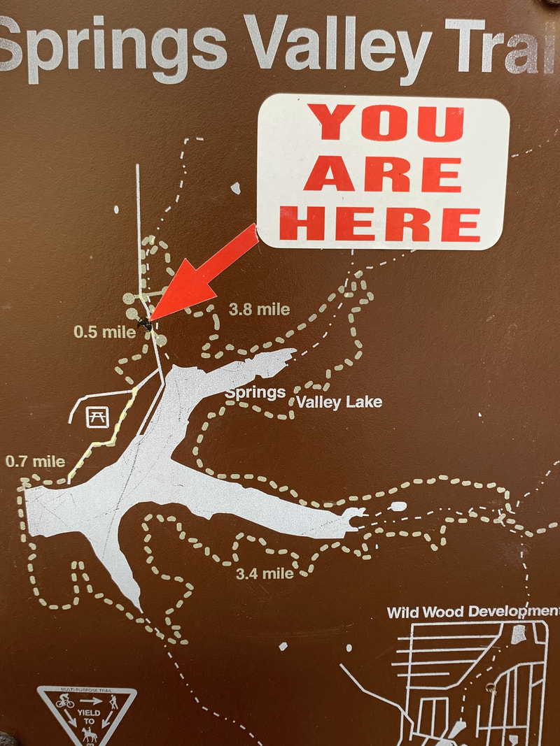
Springs Valley Trail Map
|
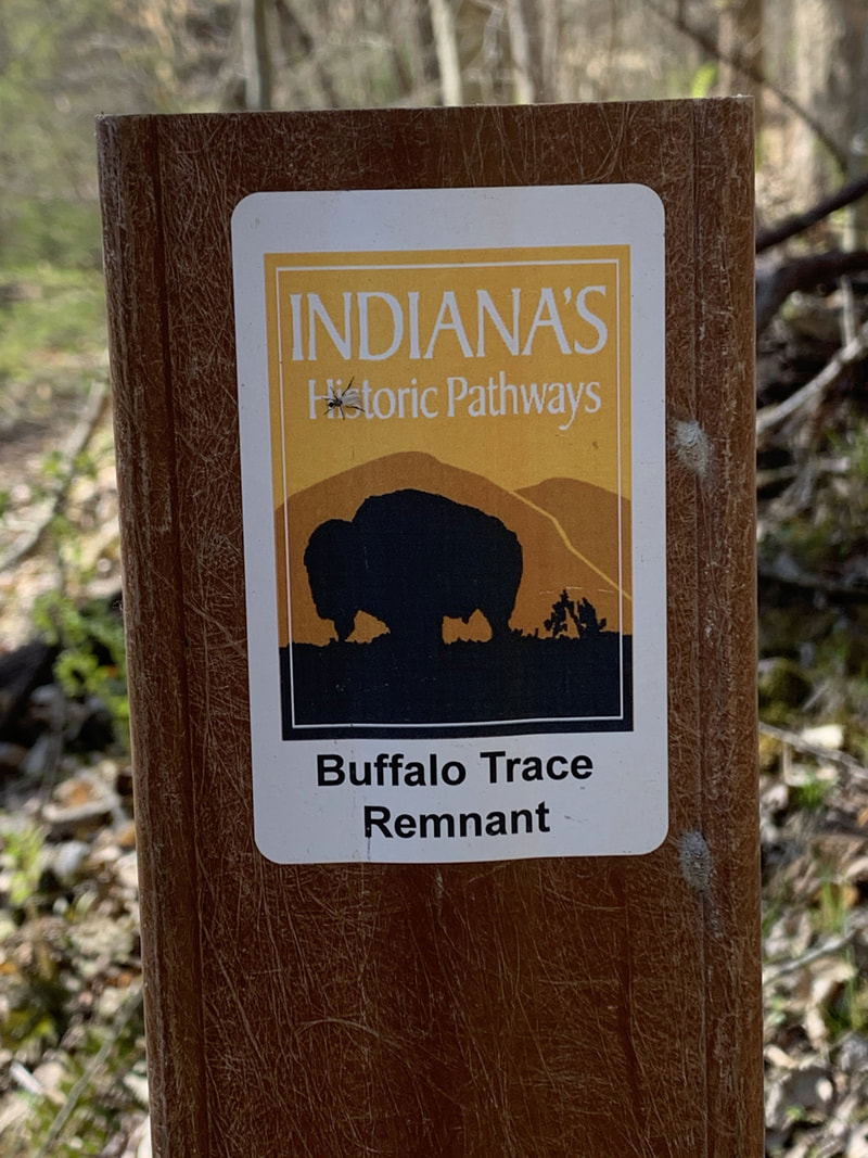
Buffalo Trace markers, Springs Valley Trail, Hoosier National Forest
|
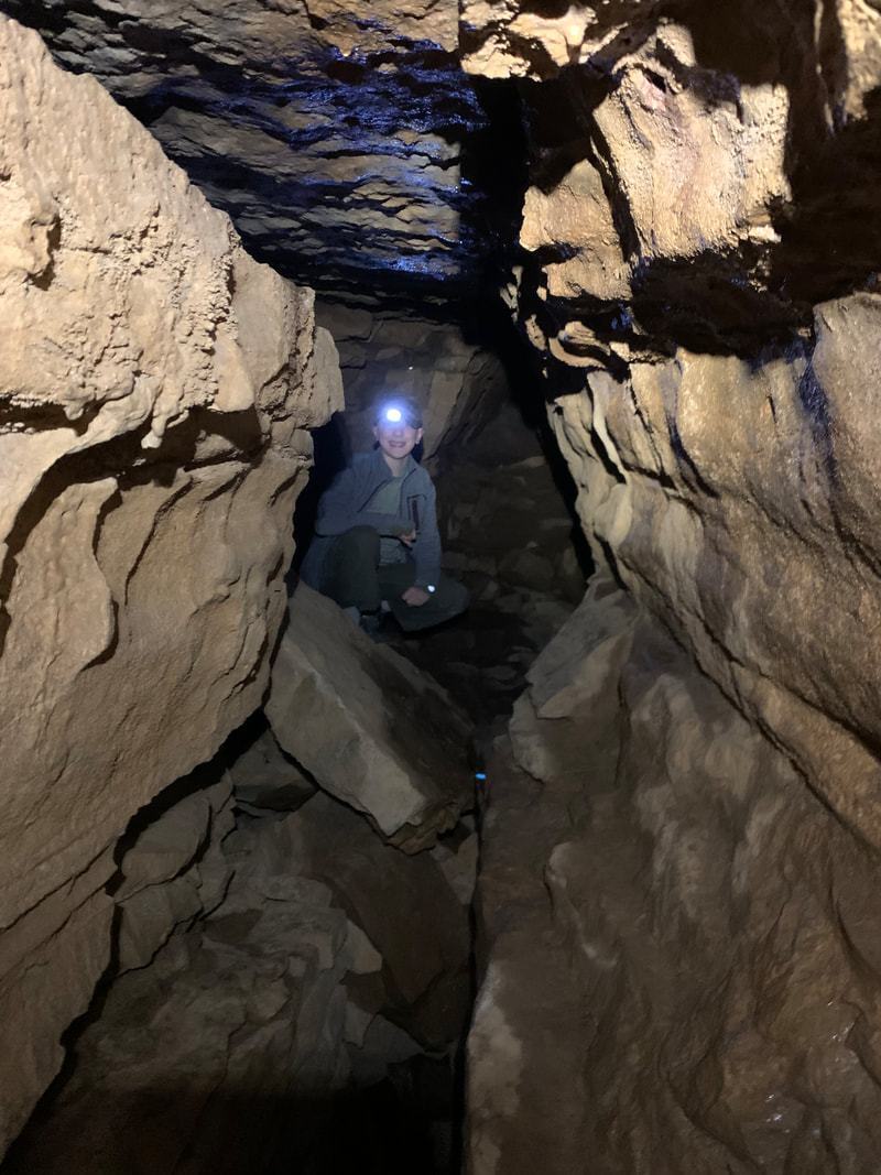
Wild cave exploration, Springs Valley, Hoosier National Forest
|
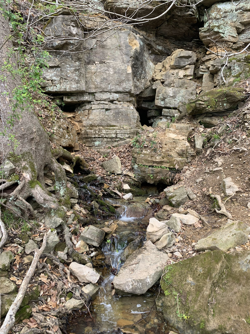
Wild cave entrance, Springs Valley Hoosier National Forest
|
|
|
|
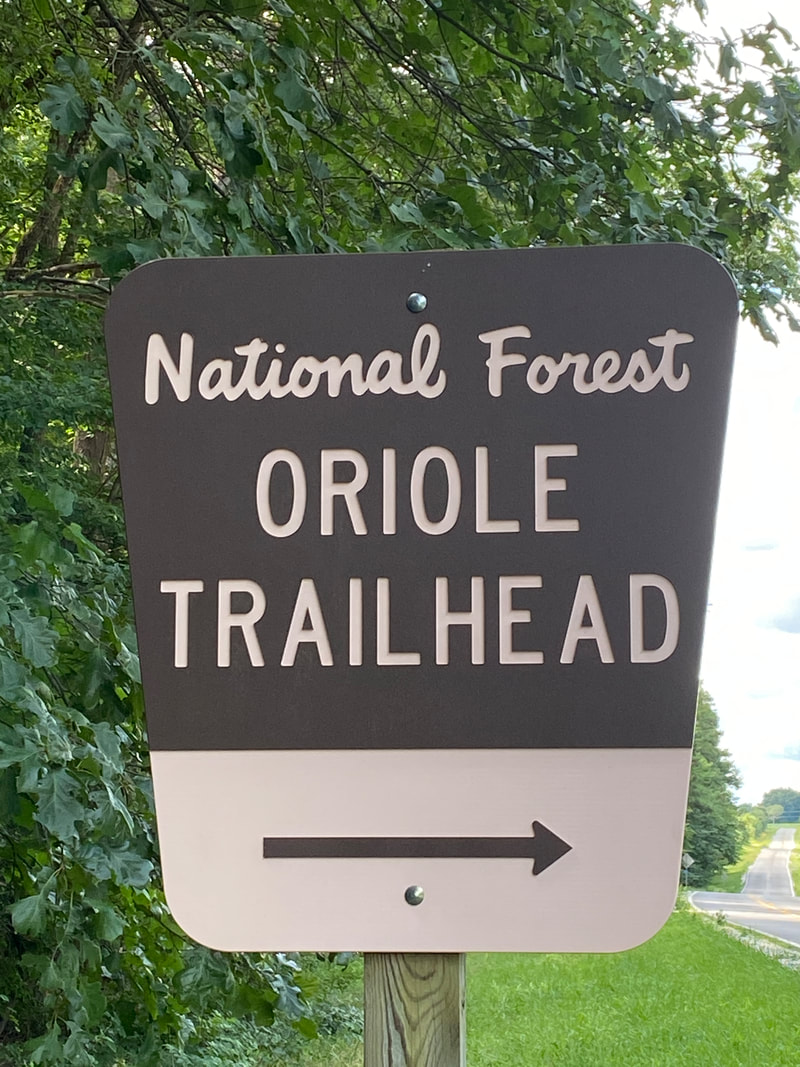
Oriole East & West
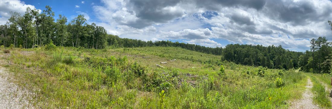
One of many open fields on Oriole East, Hoosier National Forest
Oriole East & West
Key Features:
-Quick access off the highway
-Ample parking
-Mostly gravel on the east trail
-Few established campsites
-Few trail features
-Heavily hunted in late fall
Key Features:
-Quick access off the highway
-Ample parking
-Mostly gravel on the east trail
-Few established campsites
-Few trail features
-Heavily hunted in late fall
Trail Marker, Hoosier National Forest
|
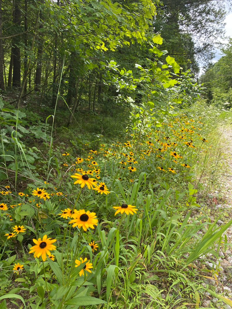
a nice patch of Brown-eyed Susans, Oriole East, Hoosier National Forest
|
Oriole West Trail, Hoosier National Forest
|
Gravel access roads, Oriole East, Hoosier National Forest
|
Finally some traditional trail, Oriole East, Hoosier National Forest
|
Oriole East & West
(East 6.5 miles - West 7.2 miles)
The Oriole Trail system is not one of the more heavily trafficked hike in the Hoosier National Forest. Of the two, the west is probably more used than the east, but mainly by hunters during open season. Oriole East is a mixture of nice, traditional Hoosier National Forest hard wood with soft pine footing and gravel access roads that are well maintained by the power company. The amount of time spent on these gravel roads is why most people only use this trail for exercise.
The start of our East hike had us moving quickly as it was relatively flat and wide for about a 1/2 mile. We then transitioned onto a large section of freshly graveled access roads. The skies were a clear blue with puffy clouds overhanging wide fields of summer Indiana grasses and a few wildflowers, so it wasn't unpleasant for a walk. However, due to the infrequent travel, we walked right past the turn to rejoin the wooded trail and found ourselves circling around on back roads to rejoin is 2 miles later. It was an intuitive loop, but frustrating none the less because we saw NO evidence of anywhere we could have missed its entry into the woods. When we finally did rejoin the trail, we entered the most enjoyable portion of the trail through older growth woods and wandered through some rocky creeks. However, this was short lived as the back side of the loop was so overgrown we were hiking through waist high summer weeds for over a mile. Needless to say, in Indiana this meant when we got home we were covered in tiny ticks and found ourselves scratching dozens of chigger bites for the next week. This was a "cross off the list" hike and I doubt we'll ever feel compelled to hike the east side again.
The West trail was a more enjoyable hike following a single track wide trail through deeper woods. However, the day we chose to hike coincided with opening day and we began to doubt our safe return after coming across the 8th or 9th hunter sitting feet off the trail. They were all pointed away from the trail, but they were thick as... thick as... thick as the ticks on Oriole East! (lol) There is a nice small lake right off the trail head, so we decided to increase our chances of living we would complete the whole trail and camp next to the lake. But by the time we finished, we just called it a day and got in the truck and drove home.
So.... not to speak ill of any trail in good old Hoosier National Trail... we aren't itching to hike either Oriole again. We are just left itching. :)
Chanterelles, Oriole East, Hoosier National Forest
|
Campsite that is hike in or drive in, Oriole West Trail, Hoosier National Forest
|
Small pond, Oriole East Trail, Hoosier National Forest
|
|
|
|
Patton Cave / Grubb Ridge Loop
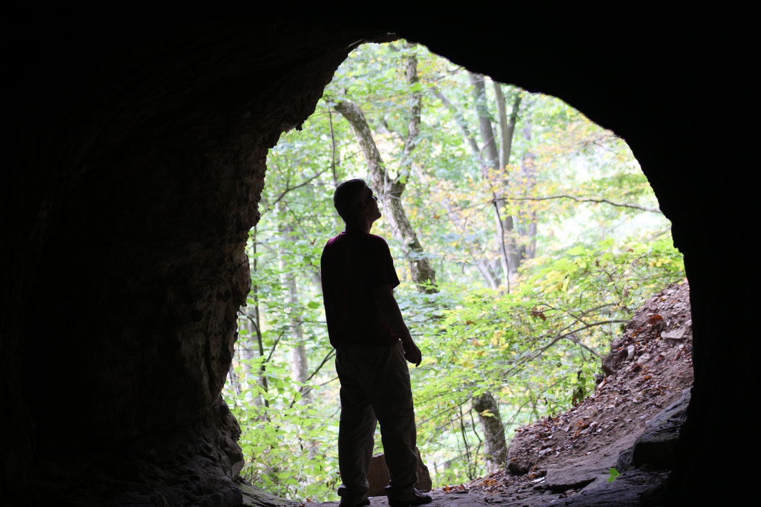
Looking out at Hoosier National Forest from the mouth of Patton Cave
Patton Cave / Grubb Ridge Loop
Key Features:
-Quick access to back country camping
-Ample parking
-Easy, wide trail
-Trail is shared with horses
-Can be very crowed on best weekends
-Access to Patton Cave
Key Features:
-Quick access to back country camping
-Ample parking
-Easy, wide trail
-Trail is shared with horses
-Can be very crowed on best weekends
-Access to Patton Cave
The first 2 miles of the Grubb Ridge Loop trail are clear and wide, Hoosier National Forest
|
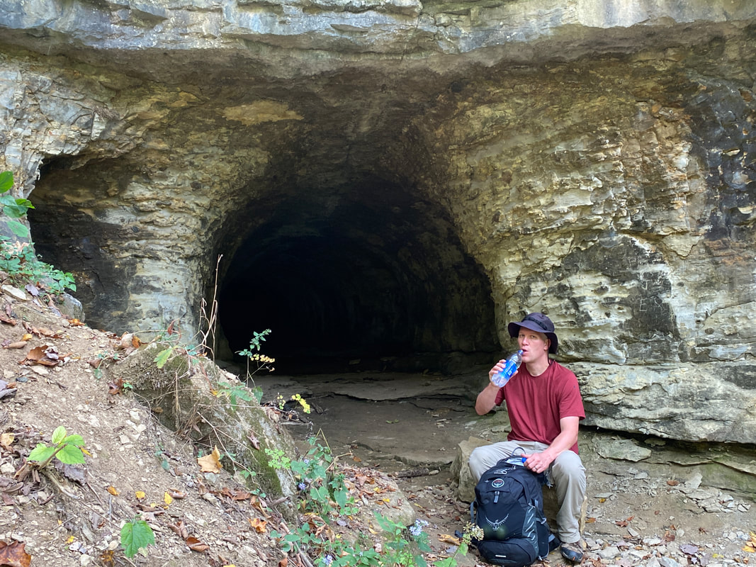
Working up the draw to the entrance of Patton Cave, Hoosier National Forest
|
Trails in the Deam Wilderness are clearly marked, Hoosier National Forest
|
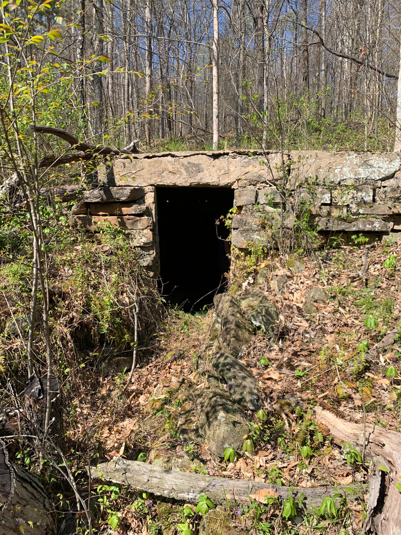
Spring entrance to Patton Cave, Hoosier National Forest
|
Exploring Patton Cave, Hoosier National Forest
|
Grubb Ridge Loop
(12.3 miles Loop)
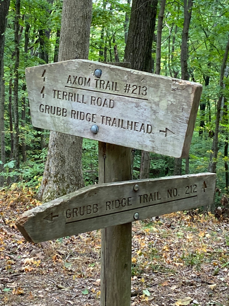
Grubb Ridge and the Hickory Ridge fire tower areas are classic Bloomington regions of the Hoosier National Forest. While the winding backroads and gravel Tower Ridge Road can slow down your approach, you will be rewarded with prime hiking upon arrival. There are numerous variations and options for day hikes or backpacking, even paddle in starts. A start from the Grubb Ridge parking lot can send you toward three basic places: the Grubb Ridge Loop, the Peninsula Trail toward Lake Monroe's shore, or the Axom Branch toward the Terrill Ridge fire tower. The Grubb Ridge Trail will lead you to unmarked, off trail exploring to Patton Cave. Paddle in from the Cutright Boat Ramp will also be your closest paddle launch for this same area by non-motorizing paddling.
While peak season hiking is sure to be crowded, there are many established spots even if you don't get your first choice spots. We counted at least a dozen established pine needle carpeted camp sites that were relatively flat and free of trash. Don't expect solitude unless you travel midweek or off season, and I wouldn't recommend the trails in deep summer unless your destination is a dip in Lake Monroe; you're sure to get chiggers and ticks in the brush.
This area of the trail is relatively flat and easy going, which makes for a quick pace and good time. There are numerous picturesque areas of younger forest where you walk among tall, lean pines and straight hardwoods that really offer a lot of positive vibes and photo ops. You won't find many stream crossings or water holes until you get near Lake Monroe, so plan according. This karst area is known for limited water or deceiving maps with dry creek beds.
We have never actually hiked Grubb Ridge as a loop because 1/2 of the trail borders the road and hikers can be seen easily by automobile traffic. If you are less comfortable in the woods, that would be a great option, but we have always had the lake or the cave in mind as our out and back destinations.
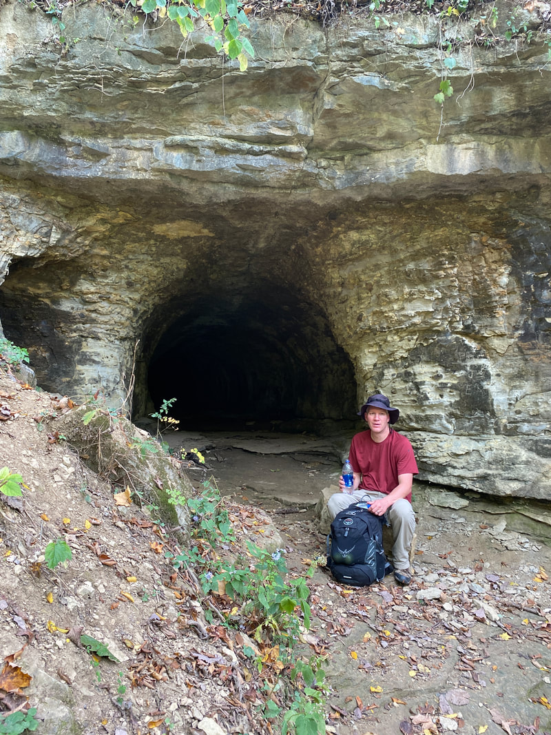
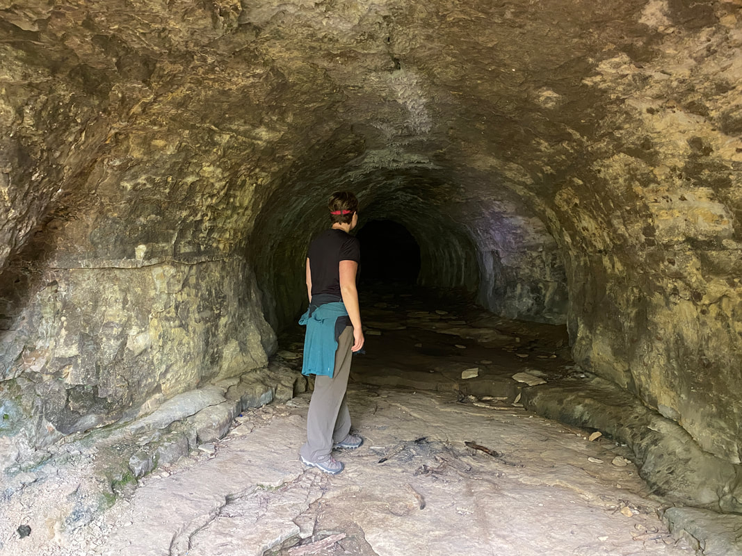
Patton Cave is worth the destination- for cavers of all abilities. (Know you boundaries and educate yourself before entering any cave. It is open to the public, but respect "safety first.") It is one of the more open and inviting caves of Indiana, and we found it appropriate for all ages and comfort levels. The cave is not technically on trail, but gets enough traffic that if you have a good understanding of where you are headed, you shouldn't have much trouble finding the established route. There are several fire rings and camp sites located directly above the cave, so camping near it is an option as well.
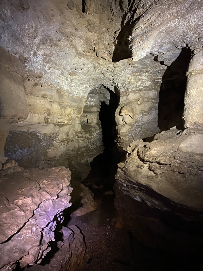
The mouth of the cave is quite wide open, inviting explores to dive right in. Take your headlamp and travel on in to the first of the open high-vaulted rooms. There you will be standing in a large circular space with various spurs worth poking your head in. The main channel off to the right gradually shortens in height until an average adult will be squatted down about as far as is comfortable. You'll travel in this manner and be able to stay dry, but just long enough to doubt if you'll cramp up. It's right after that moment that you realize you are entering another open space with plenty of head room and crevices to explore and climb around on.
From there, some hikers may find their comfort level has ended. Braver souls may enjoy the tighter squeeze and climbing offered in the long, narrow passage ahead. At this point you are mostly through the cave, but the last sections are for prepared and smaller sized spelunkers. We've been told the cave pushes through one remaining tight squeeze before popping out into the daylight on the far side of the hill, but we have yet to "squeeze" that in.
The best time of year to visit any Brown County destination is, of course, the fall when you can witness the changing foliage in its full splendor.
While peak season hiking is sure to be crowded, there are many established spots even if you don't get your first choice spots. We counted at least a dozen established pine needle carpeted camp sites that were relatively flat and free of trash. Don't expect solitude unless you travel midweek or off season, and I wouldn't recommend the trails in deep summer unless your destination is a dip in Lake Monroe; you're sure to get chiggers and ticks in the brush.
This area of the trail is relatively flat and easy going, which makes for a quick pace and good time. There are numerous picturesque areas of younger forest where you walk among tall, lean pines and straight hardwoods that really offer a lot of positive vibes and photo ops. You won't find many stream crossings or water holes until you get near Lake Monroe, so plan according. This karst area is known for limited water or deceiving maps with dry creek beds.
We have never actually hiked Grubb Ridge as a loop because 1/2 of the trail borders the road and hikers can be seen easily by automobile traffic. If you are less comfortable in the woods, that would be a great option, but we have always had the lake or the cave in mind as our out and back destinations.
Patton Cave is worth the destination- for cavers of all abilities. (Know you boundaries and educate yourself before entering any cave. It is open to the public, but respect "safety first.") It is one of the more open and inviting caves of Indiana, and we found it appropriate for all ages and comfort levels. The cave is not technically on trail, but gets enough traffic that if you have a good understanding of where you are headed, you shouldn't have much trouble finding the established route. There are several fire rings and camp sites located directly above the cave, so camping near it is an option as well.
The mouth of the cave is quite wide open, inviting explores to dive right in. Take your headlamp and travel on in to the first of the open high-vaulted rooms. There you will be standing in a large circular space with various spurs worth poking your head in. The main channel off to the right gradually shortens in height until an average adult will be squatted down about as far as is comfortable. You'll travel in this manner and be able to stay dry, but just long enough to doubt if you'll cramp up. It's right after that moment that you realize you are entering another open space with plenty of head room and crevices to explore and climb around on.
From there, some hikers may find their comfort level has ended. Braver souls may enjoy the tighter squeeze and climbing offered in the long, narrow passage ahead. At this point you are mostly through the cave, but the last sections are for prepared and smaller sized spelunkers. We've been told the cave pushes through one remaining tight squeeze before popping out into the daylight on the far side of the hill, but we have yet to "squeeze" that in.
The best time of year to visit any Brown County destination is, of course, the fall when you can witness the changing foliage in its full splendor.
20 foot inside Patton Cave, Hoosier National Forest
|
Camp site 14 Grubb Ridge Loop, Hoosier National Forest
|
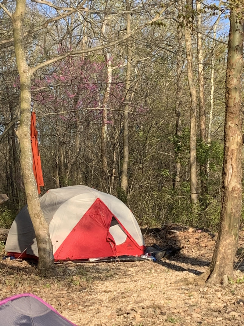
Setting up camp on Grubb Ridge Loop, Hoosier National Forest
|
|
|
|
Terrill Ridge / Axsom Branch Trails
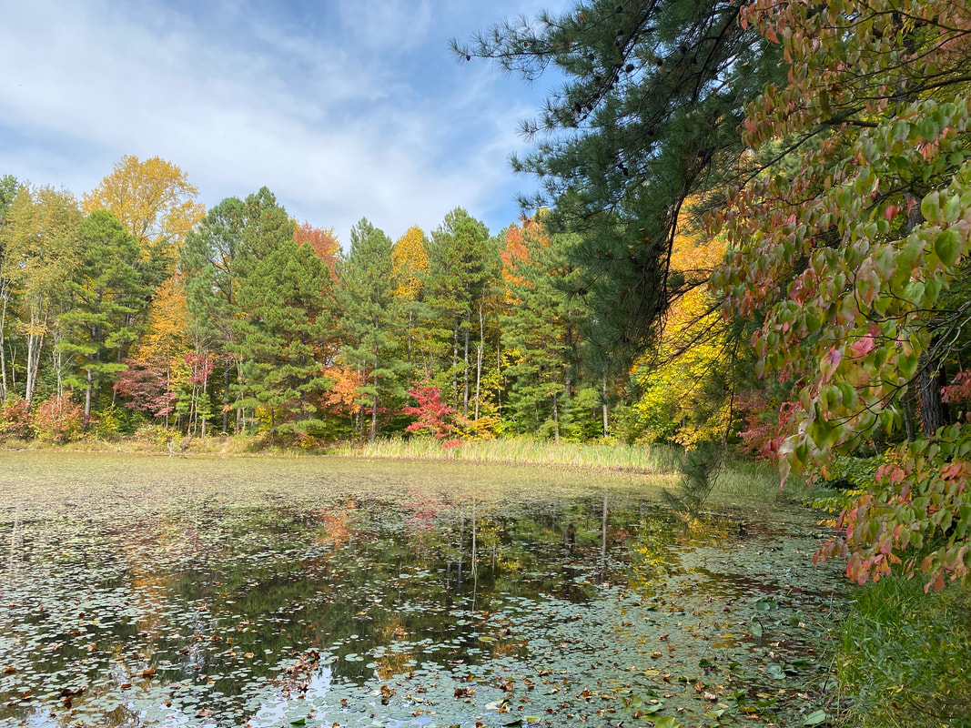
Small pond near the end of the Terrill Ridge trail, Hoosier National Forest
Terrill Ridge / Axsom Branch
Key Features:
-Quick access to back country camping
-Ample parking
-Easy, wide trail
-Trail is shared with horses
-Can be very crowed on best weekends
-Access to Hickory Ridge fire tower
- Cool cemetery, historical perspective on pioneer life
Key Features:
-Quick access to back country camping
-Ample parking
-Easy, wide trail
-Trail is shared with horses
-Can be very crowed on best weekends
-Access to Hickory Ridge fire tower
- Cool cemetery, historical perspective on pioneer life
Terrill Ridge Trail, Hoosier National Forest
|
Campsite at the end of the Terrill Ridge trail, Hoosier National Forest
|
Small pond with fall colors, Terrill Ridge trail, Hoosier National Forest
|
Campsite on Terrill Ridge Trail, Hoosier National Forest
|
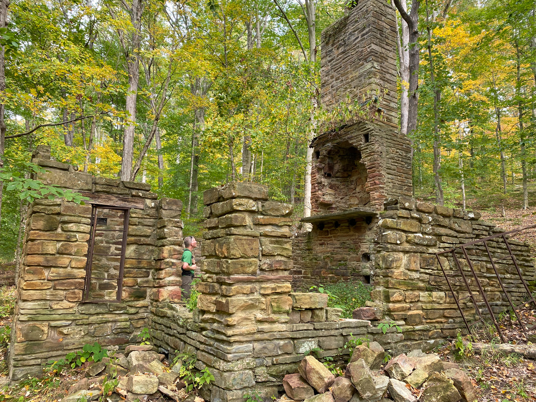
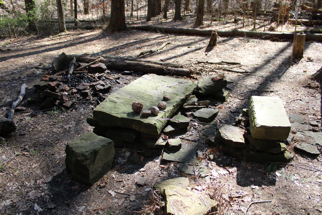
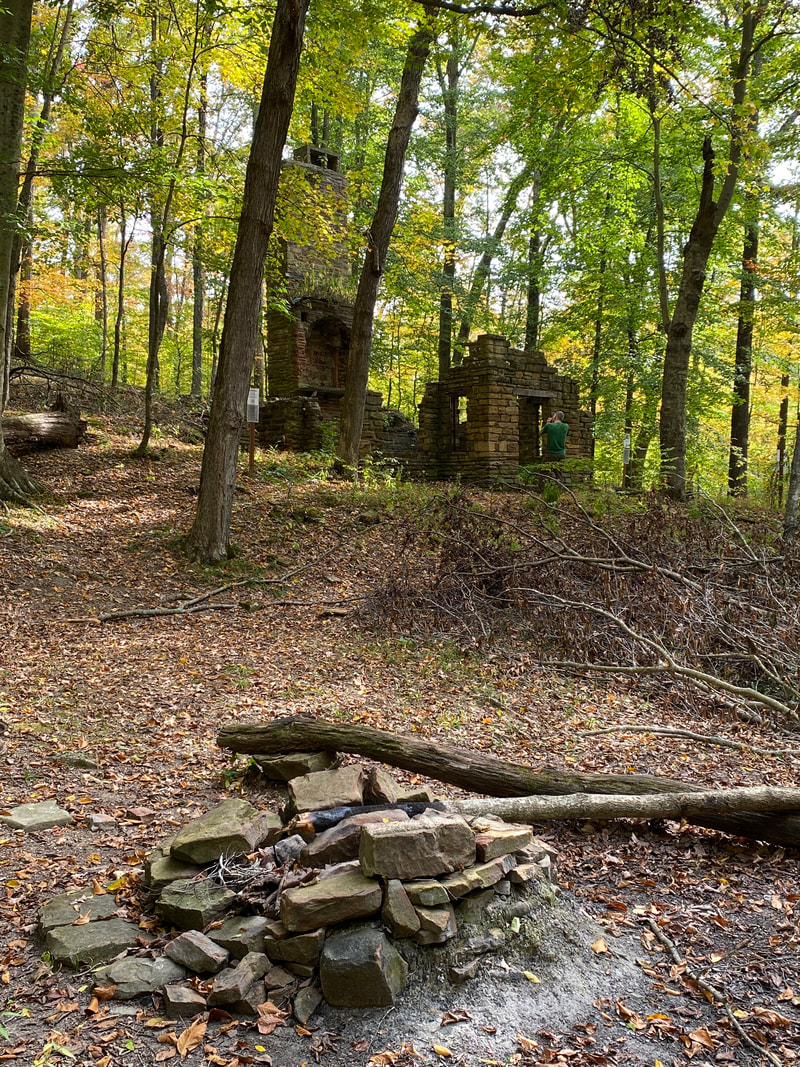
Axsom Cabin ruins, Axsom Trail Hoosier National Forest
|
Terrill Ridge
(2 miles one way)
Squeezed in among the more popular areas of the Charles Deam Wilderness is the lesser hiked Terrill Ridge trail system, which we found to be a very pleasant day with some unexpected surprises. The terrain matches most of the features of the Deam Wilderness with rolling hills, deep woods, wide marked trails, and numerous opportunities for backcountry camping.
The unexpected treat was the quaint camping spots at the end of the ridge. Hidden at the end of this trail is a small but picturesque body of water that the 2 available camp spots open directly up to with ideal views and water access. A unofficial path will take you all the way around the lake if you are looking to fish or capture some great nature shots. The soft pine flooring makes for a wide, level spot to set up camp.
Our other favorite feature of this hike was the trip to the well-maintained Terrill Cemetery. Walking through the small, family cemetery was like strolling through the tougher times of history. Reading the weathered headstones was a testament to the toughness and grit of the people who lived is area and the difficulty of life throughout history. Thinking of the pain a family felt as their child was "born & died" on the same day and another who died 2 days shy of his 5th birthday was heart wrenching and made us thankful for the comforts of modern times, even in the difficulties of 2020.
If you have extra time or want to tag on a few extra miles while in the area, we highly recommend a hike into the Terrill Ridge area of the Deam Wilderness. Check out our most recent trip to this area in our blog here.
Axsom Branch
(2.6 miles one way)
The Axsom Branch is another trail that connects from the Hickory Ridge Fire Tower (along with Terrill Ridge, Sycamore Loop & Grubb Ridge). This spur begins with wide-open paths, then narrows into single track, switch backing down the valley and eventually crossing the Axsom Branch Creek.
Following a side trail along this creek will eventually lead to the Axsom Cabin, Monroe Lake, and several nice campsites. This historic cabin is worth a visit to observe its interesting stone wall and chimney. Hikers are not allowed to camp in the old cabin, but there is a fire ring nearby. A short hike on down the informal trail will take you to the edge of Monroe Lake and another series of backcountry campsites. This would be a nice alternative to the Peninsula Trail in busier times if you are looking for more seclusion.
From here, the trail continues up hill through the dense Deam Wilderness forest and will connect with the Grubb Ridge Trail in about a mile. While this trail is rarely a destination in it's own right, it is a useful trail due to connecting the the far eastern trails of the Deam Wilderness to the Grubb Ridge trail system. All in all, it is another great place to tag some miles and see some less crowded sections of this area in Hoosier National Forest's Deam Wilderness.
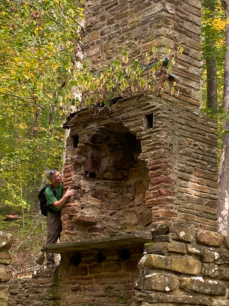
Checking out the chimney of the Axsom Cabin, Hoosier National Forest
|
Campsite below the Axsom Cabin, Hoosier National Forest
|
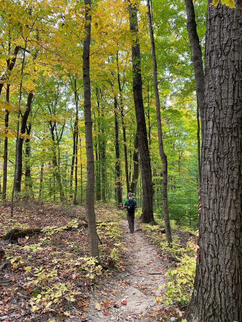
The single track Axsom Branch Trail, Hoosier National Forest
|
|
|
|
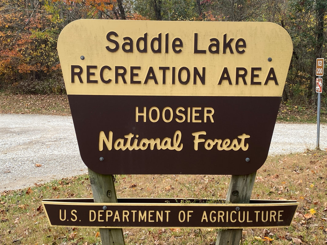
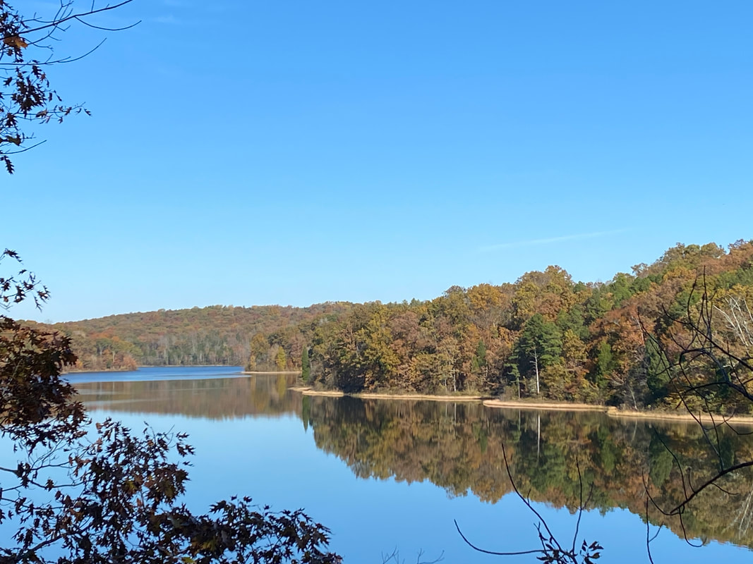
Saddle Lake Trail
Saddle Lake, Hoosier National Forest
Saddle Lake
Key Features:
- One of the few hiker only trails in Hoosier National Forest
-Ample parking, large gravel lot
-Easy, wide trail
- Many places to access lake if you don't high grass/brush
- Quiet lake / only electric motors
-No established backcountry campsites
- Primitive camping available in a small forest service camp ground / about 8 sites
Handy rock seats seemed to be everywhere, Saddle Lake, Hoosier National Forest
|
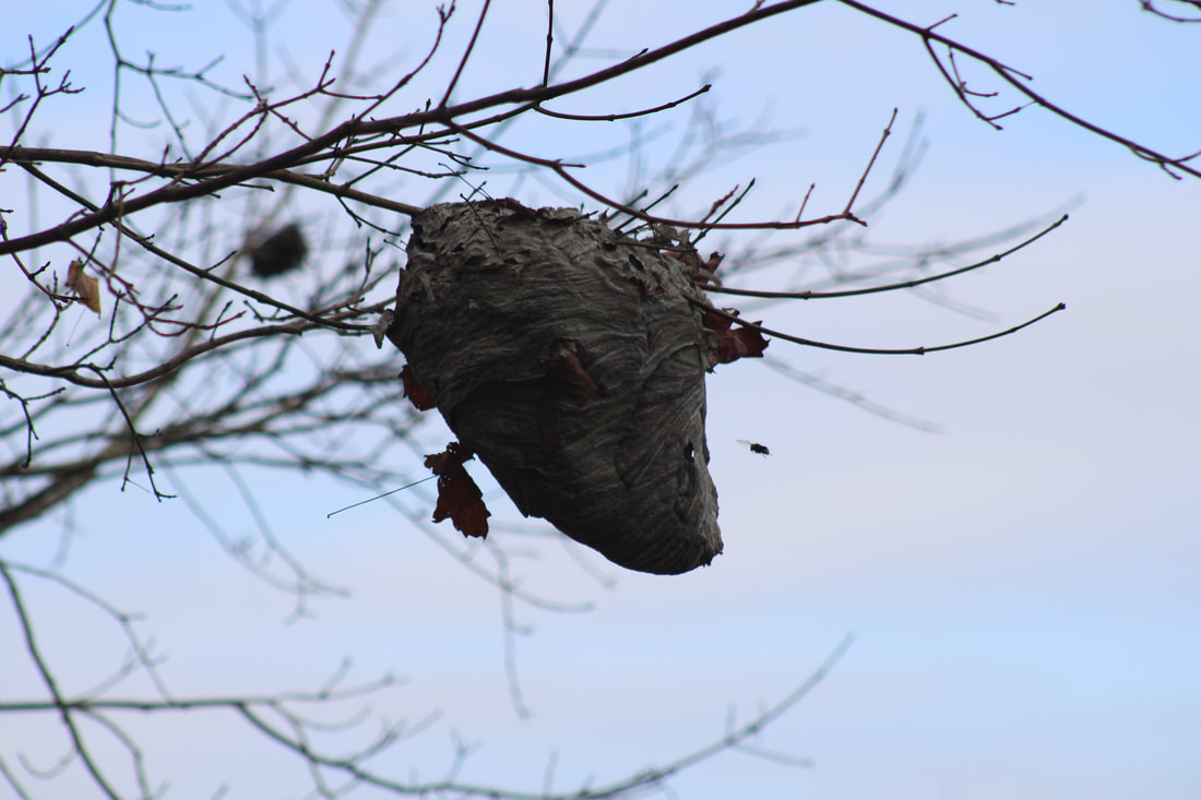
A paper hornet nest, Saddle Lake, Hoosier National Forest
|
Wide clear trails at Saddle Lake, Hoosier National Forest
|
Fall colors across Saddle Lake, Hoosier National Forest
|
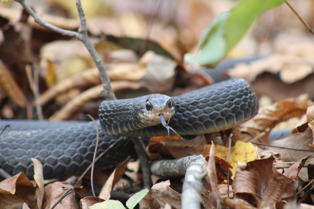
A defensive black rat snake, Saddle Lake Trail Hoosier National Forest
|
Saddle Lake Trail
(2.4 mile loop)
Saddle Lake seems to be a lesser known trail in the Hoosier National Forest. We hiked Hoosier National Forest for years before tagging this trail on as a day trip. If you are looking for a family friendly day hike, any season, this is a perfect location. There is no backcountry camping around Saddle Lake, but there is a small primitive campground if you want to stay the night. The 2.4 mile loop takes you around the perimeter of the lake with little difficulty as it gently rolls in some areas. The lake has an unusual shape with a large dam bordering one entire side of the lake. Hiking when the leaves are off will give you lake views almost the entire duration of your hike. The trail is well kept and wide, so should be very accessible for all members of your hiking group. If you are looking for a lake to paddle, Saddle Lake is probably not your ideal destination as it is a small lake. It will, however, make for a good fishing day as you can get to lots of shoreline.
Mushrooms pushing up through the fallen leaves, Saddle Lake Trail, Hoosier National Forest
|
Saddle Lake Trail, Hoosier National Forest
|
Hiking partners, Saddle Lake Trail, Hoosier National Forest
|
|
|
|
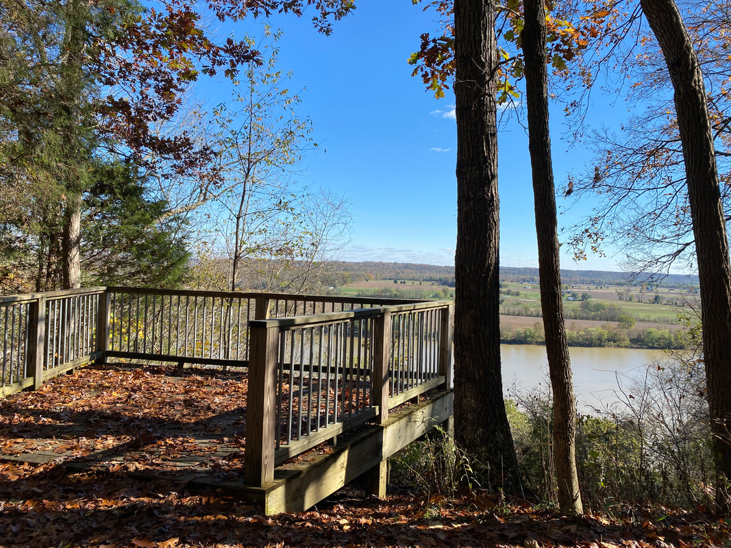
Buzzard Roost Recreation Area
Looking out across the Ohio River in to Kentucky from Buzzards Roost, Hoosier National Forest
Buzzard Roost
Key Features:
- One of the few hiker only trails in Hoosier National Forest
-Ample parking, large gravel lot
-Parts of trail are steep and rocky
- No backcountry camping
-Overlook platform
- Primitive camping available in a small forest service camp ground / about 6 sites
Key Features:
- One of the few hiker only trails in Hoosier National Forest
-Ample parking, large gravel lot
-Parts of trail are steep and rocky
- No backcountry camping
-Overlook platform
- Primitive camping available in a small forest service camp ground / about 6 sites
Trail marker for the official start of the Buzzard Roost, Hoosier National Forest
|
Buzzard Roost Trail, Hoosier National Forest
|
Creek along Buzzard Roost Trail, Hoosier National Forest
|
The trail down to the river is a little more rocky, Buzzard Roost Trail, Hoosier National Forest
|
Rocky stairs along The Buzzard Roost Trail Hoosier National Forest
|
Buzzard Roost Trail
(.5 mile one way)
If you are looking for a quick spot to view the Ohio River, stretch your legs, have a picnic, or take some family pictures, Buzzard Roost Trail is a great spot that you can drive right to. The hiking maxes out a a whopping .8 of a mile, and is mostly just a trail to view the river front and waterfalls, so it doesn't classify as a hike for most looking to get their heart rate up. However, the steep rocky stairs down to the river view will give you a chance to move some muscle.
The trail begins at the first of two parking spots and takes you to two overlooks from the bluffs overlooking the Ohio. It is flat and well-cleared, even including benches to sit a spell. Venturing on connects you to the 2nd parking lot that offers spaces to pull in with picnic tables, an outhouse, and fire rings. There is no backcountry camping, but there are 6 sites available for car camping.
There, the trail descends a series of switchbacks and rock stairwells alongside a cascading drops. The day we hiked was after a significant fall rain event and it was flowing quite nicely. A 8-10 foot drop near the bottom ends the waterfall features and leads the last 50 feet to the river's edge. There a bench awaits and beacons you to stay a while and enjoy the mighty Ohio.
A quick, steep 10 minute walk will have you back to the top to backtrack to your vehicle.
Overall, this was not a destination for us, but a good activity to tag on while we were in the area. The interesting bluffs and waterfall features were a pleasant surprise and well-kept secret in Southern Indiana.
The Buzzard Roost trail follows a step drainage to the Ohio River, Hoosier National Forest
|
The Ohio River at the end of the Buzzard Roost Trail, Hoosier National Forest
|
The largest water fall along the Buzzard Roost Trail, Hoosier National Forest
|
|
|
|
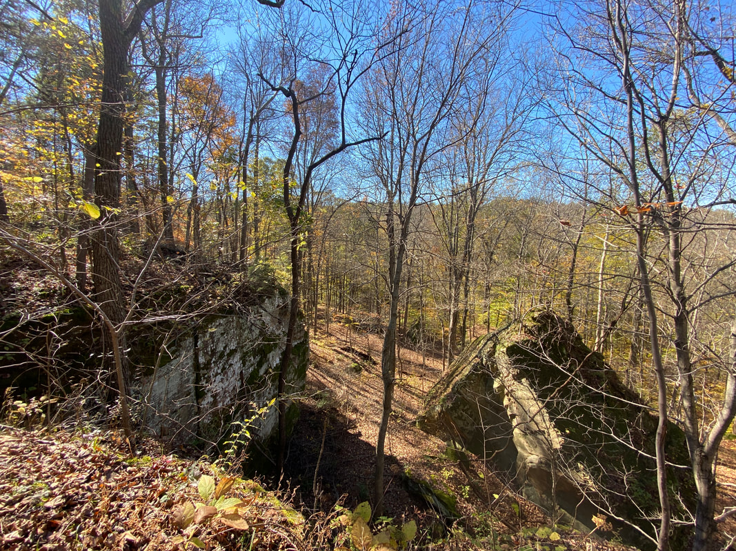
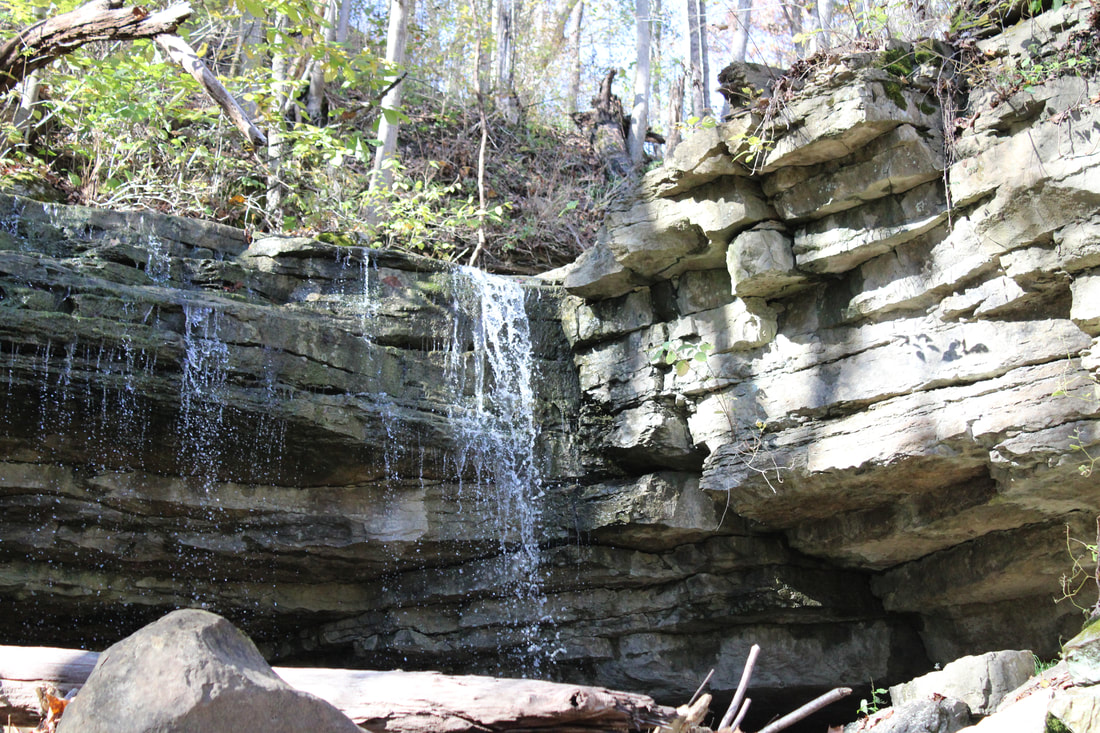
German Ridge Lake Trail
Looking out across the river in to Kentucky from Buzzards Roost, Hoosier National Forest
German Ridge Lake Trail
Key Features:
- One of the few hiker only trails in Hoosier National Forest
-Ample parking, large gravel lot
-Parts of trail are steep and rocky
- No backcountry camping
-Overlook platform
- Primitive camping available in a small forest service camp ground / about 6 sites
Key Features:
- One of the few hiker only trails in Hoosier National Forest
-Ample parking, large gravel lot
-Parts of trail are steep and rocky
- No backcountry camping
-Overlook platform
- Primitive camping available in a small forest service camp ground / about 6 sites
Rock features and cliffs at German Ridge Lake Trail, Hoosier National Forest
|
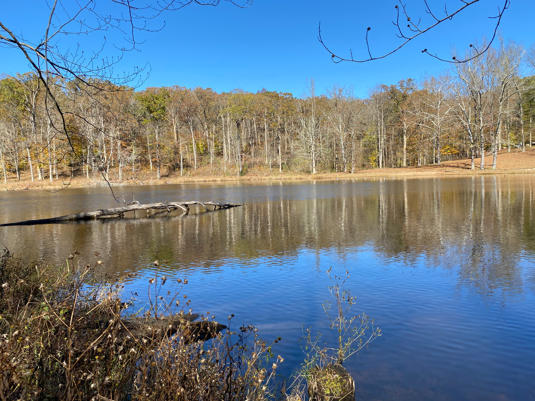
The Lake at German Ridge Lake Trail, Hoosier National Forest
|
An overlook at German Ridge Lake Trail, Hoosier National Forest
|
Trail features at German Ridge Lake Trail, Hoosier National Forest
|
Collapsing bridge, German Ridge Lake Trail, Hoosier National Forest
|
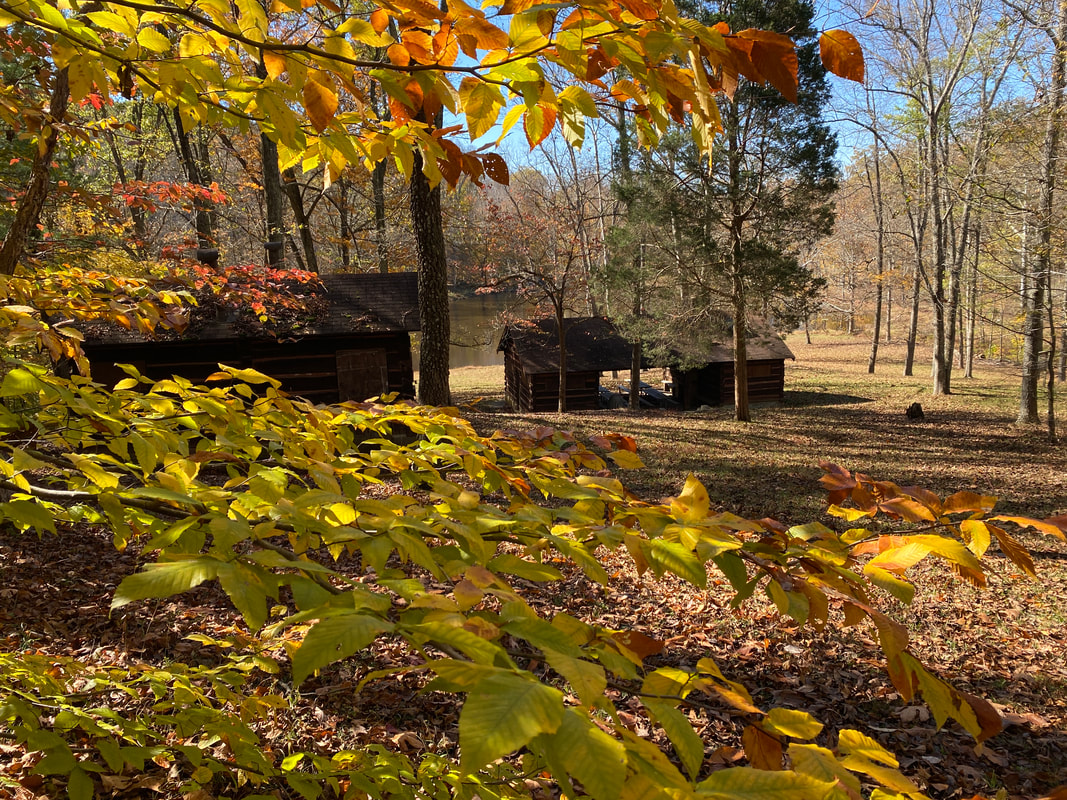
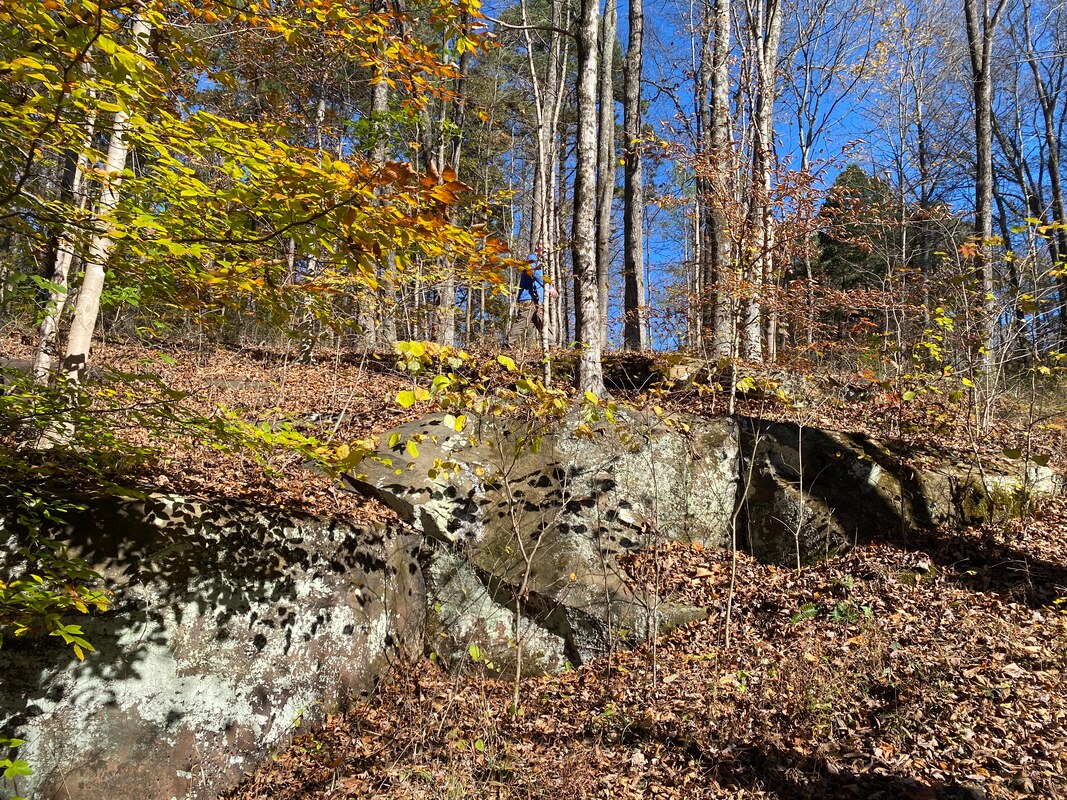
German Ridge Lake Trail
(1.9 mile loop)
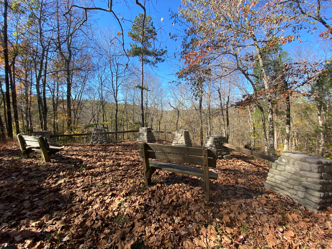
Among the numerous trail options in the German Ridge system is the German Ridge Lake Trail. Starting from the campground area and looping around the small 4-5 acre lake and recreation area made by the young men of CCC #2583. This historic landmark features log cabins, rock chimneys and shelter areas. The hike begins from a nice overlook with benches and descends through interesting large rock features and outcroppings. The trail is wide and clear which makes for a nice hike no matter what season you are hiking. The short distance will take you through old growth forest and gives a deep woods feel even though you are close by the camp area. Upon arrival at the recreation area, the forest opens up to a series of log cabins, shelter houses and drive up parking. The lake has a swimming beach and picnic area that looks very underutilized. The trail around the lake could be overgrown in deep summer, but with a long pants and some bug spray, should be able to be hiked year round. If you are looking for a family friendly quick hike and time in the woods, this might be a great day trip for you.
Steep cliffs at German Ridge Lake Trail, Hoosier National Forest
|
Playing around at German Ridge Lake Trail, Hoosier National Forest
|
Clear, wide trails on German Ridge Lake Trail, Hoosier National Forest
|
|
|
|