Apostle Islands National Lake Shore
The Apostle Islands National Lake Shore encompasses 21 islands, and a sliver of the main land. All of the Apostle Islands require a water craft of some sort to access. The islands range from rugged and remote to establish camp grounds and ranger stations. Numerous outfitters can help arrange transportation or put together kayaking excursions to see the islands' famous sea caves.
Key Features
- Many back country camping opportunities
-Only one campsite is accessible without a boat
- Very popular with sail boats, power boats, and kayaks
- Watch the weather, the big lake can be dangerous
- Sea cave viewing / exploration is popular
- Bugs are not too bad
- Many back country camping opportunities
-Only one campsite is accessible without a boat
- Very popular with sail boats, power boats, and kayaks
- Watch the weather, the big lake can be dangerous
- Sea cave viewing / exploration is popular
- Bugs are not too bad
Stockton Island
Stockton Island
Key Features:
- Several miles of maintained and unmaintained trails
- Popular campsites and boat dock
- Julian Beach / Cove
- Ranger station on island
- High number of black bears
Key Features:
- Several miles of maintained and unmaintained trails
- Popular campsites and boat dock
- Julian Beach / Cove
- Ranger station on island
- High number of black bears
Stockton Island
(18 miles)
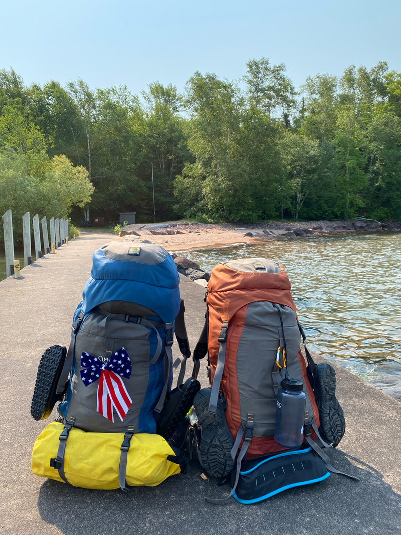
It's going to be hard to forget a place like Stockton Island. Stockton Island is about a 40 minute water taxi ride from the marina in Bayfield, Wisconsin which you will schedule with one of the various taxi services in the area. (Unless of course you are lucky enough to own a sailboat of your own or feisty enough to paddle that far in your sea kayaks. If you were blessed with calm waters and prepared, it is certainly do-able.) However, we arrived to the southern tip of the island and docked headed into the unknown and full of anticipation.
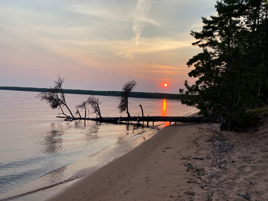
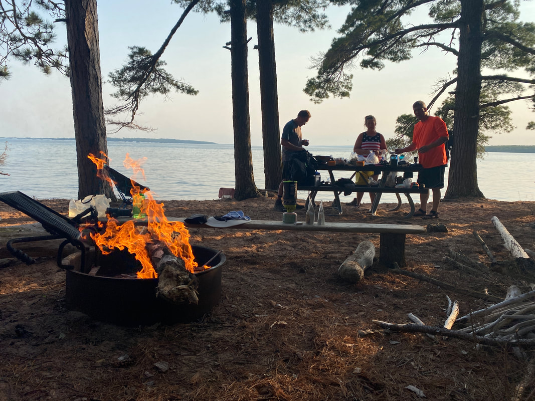
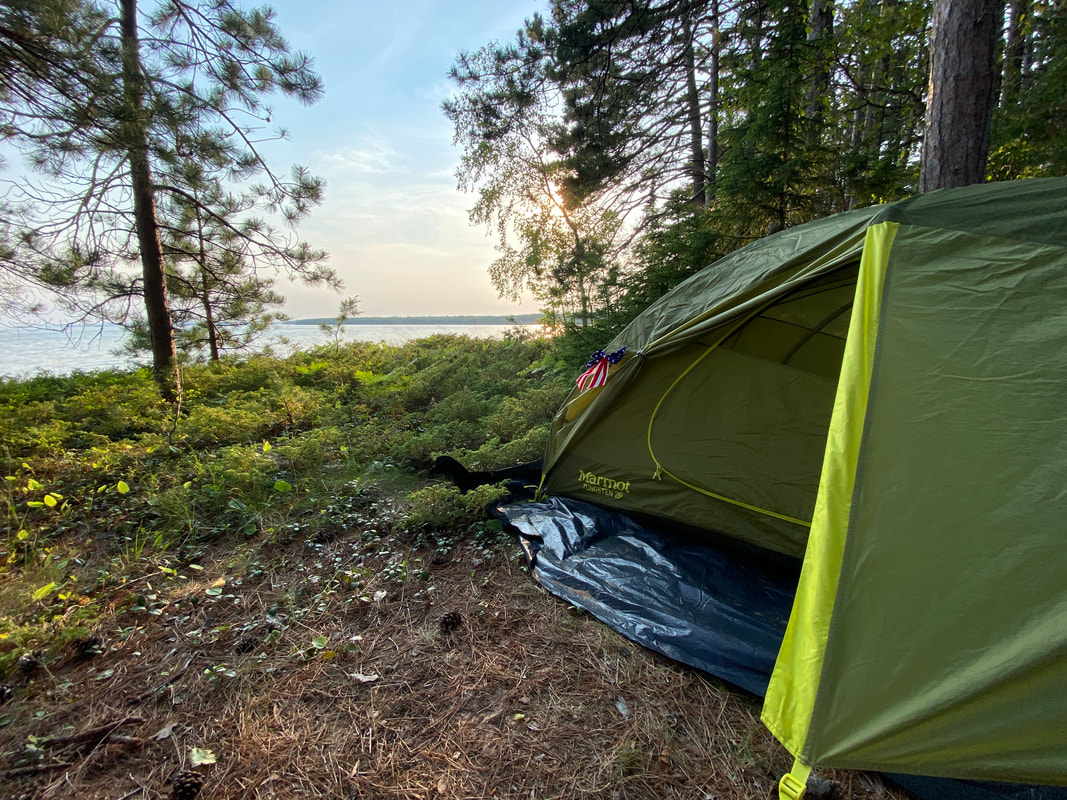
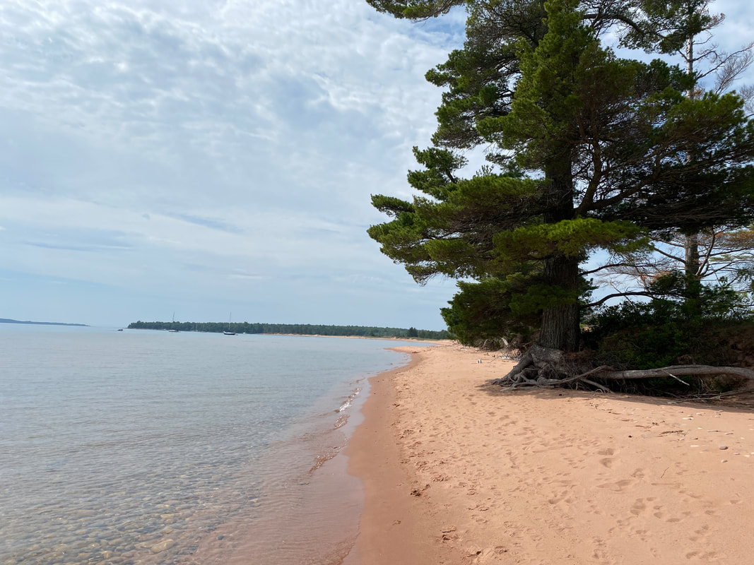
The island is relatively small and only offers a few hiking trails, but we quickly learned why when we arrived to 19 sites on soft, sandy beaches under a canopy of tall pines. Most people who make it to Stockton Island never leave the luxury of the beach. The main campground is directly off the boat dock and extends most of the southern shore of the island, taking advantage of views of Madeline Island and some smaller Apostle Islands. The small well maintained campground trail extends about 3/4 of a mile and each of the 19 sites is spaced out for privacy. Some of the sites are directly on the shoreline, while others are up off the beach and fighting an erosion battle. Many of the first sites were used by boaters who didn't want to lug gear or were using their boats as storage or entertainment.
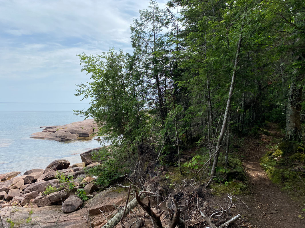
The Tombolo Trail and Andersen Loop are all good day hiking options on the eastern side of the island, while the Trout Point Trail and Quarry Trail are longer options with backcountry campsites available for more adventurous types. We booked site 21 via the Trout Point Trail and hiked 6.0 of the 6.3 miles through over 30 blowdowns, only to finally be turned back after being unable to find the finish line. After talking to the Ranger, we learned it had not been cleared in ages and it was actually closed after our report of conditions that weekend. Our disappointment was only calmed after returning to the picturesque campsite 12 miles later and thirsty as could be.
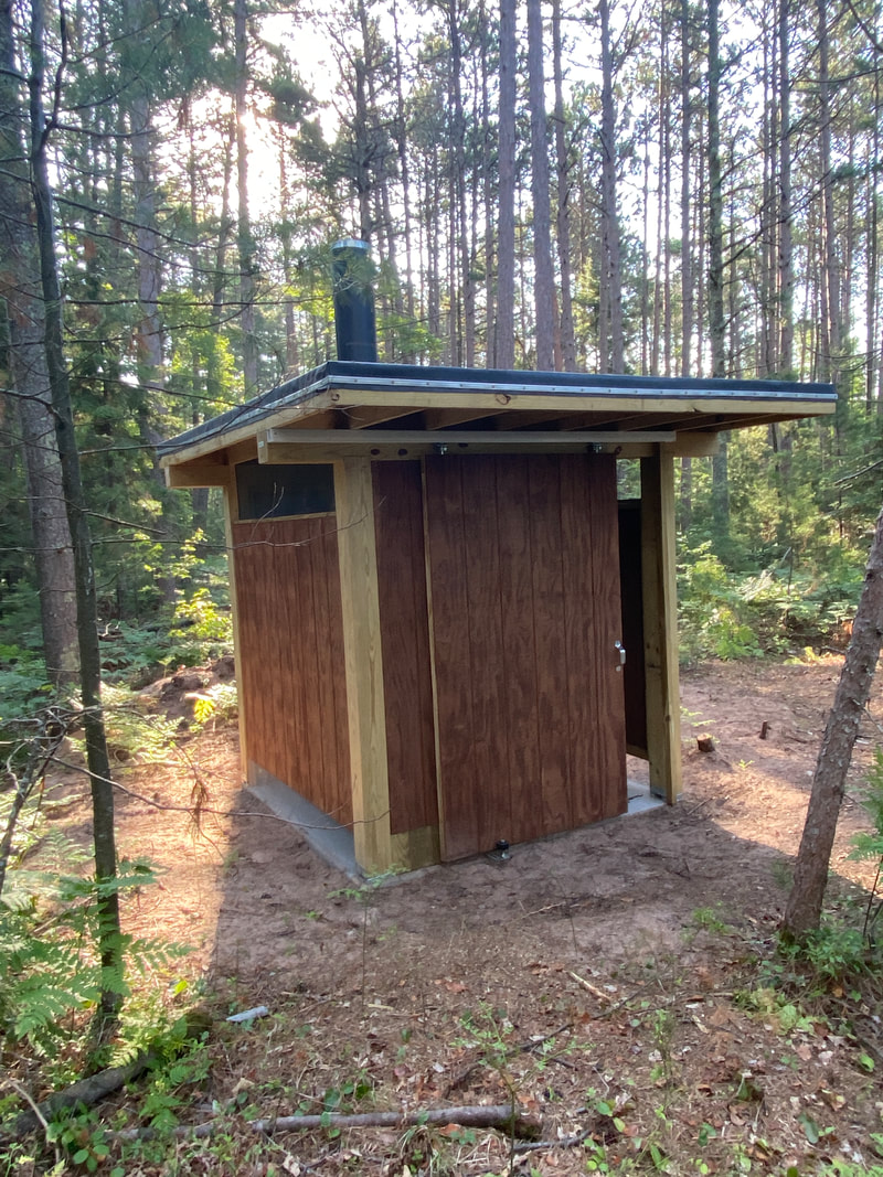
I don't often write about outhouses, but we were the lucky recipients of a brand new, renovated outhouse that came complete with a slide door! I think it should be the new gold standard in outdoor potties...
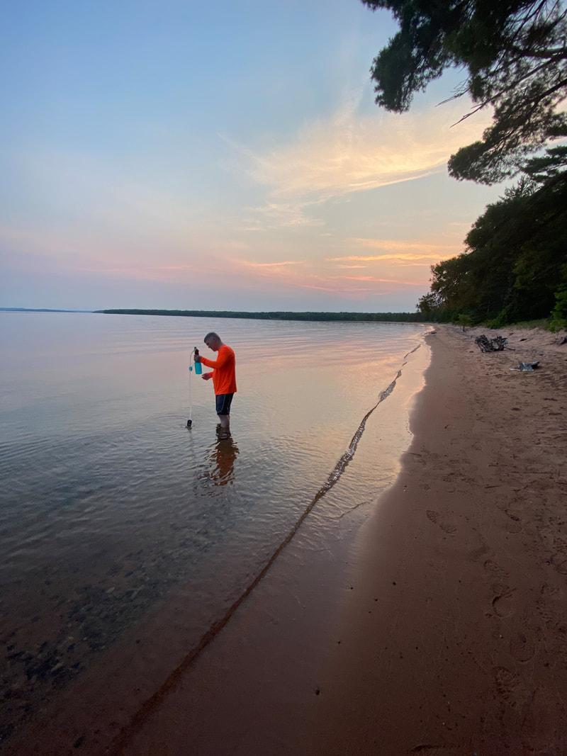
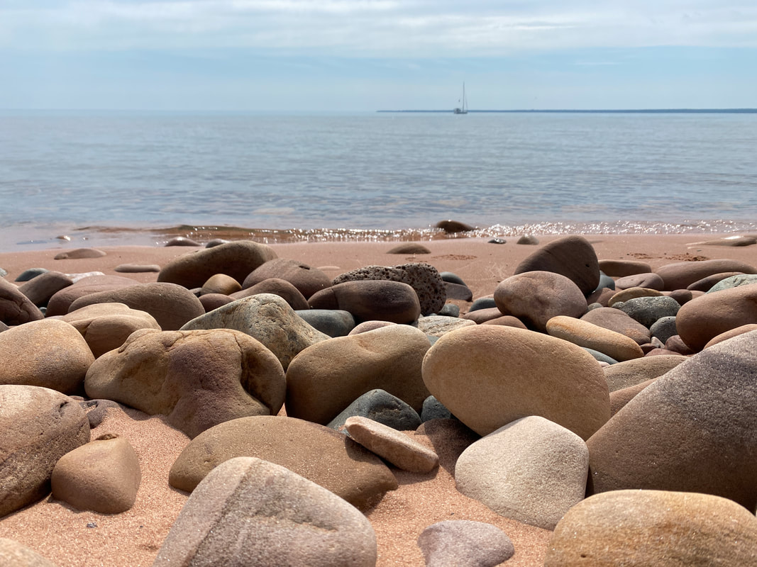
The bottom of Lake Superior here is not rocky and slippery as much of they typical shoreline can be, but rather extends gently into the lake with a mixture of sand and small gravel and waders can make their way relatively far out into the lake before you can no longer touch bottom. This made the trip feel like a cool tropical getaway. And then the flies reminded you of where you were....summer in the north country. :)
|
|
|
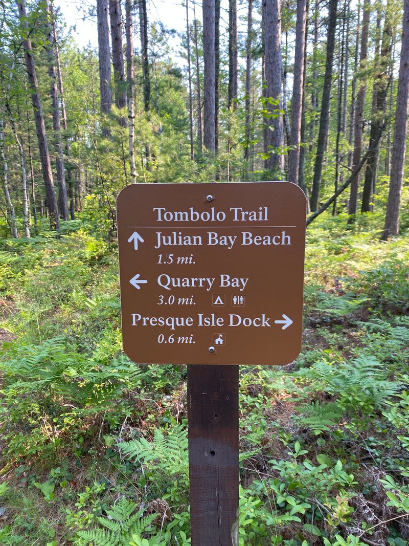
Tombolo Trail
Key Features:
- Easy trail for a day hike
- May have to wade across the lagoon outlet
- Sail and power boaters commonly anchor off the beach
- Maybe the best beach in all the great lakes
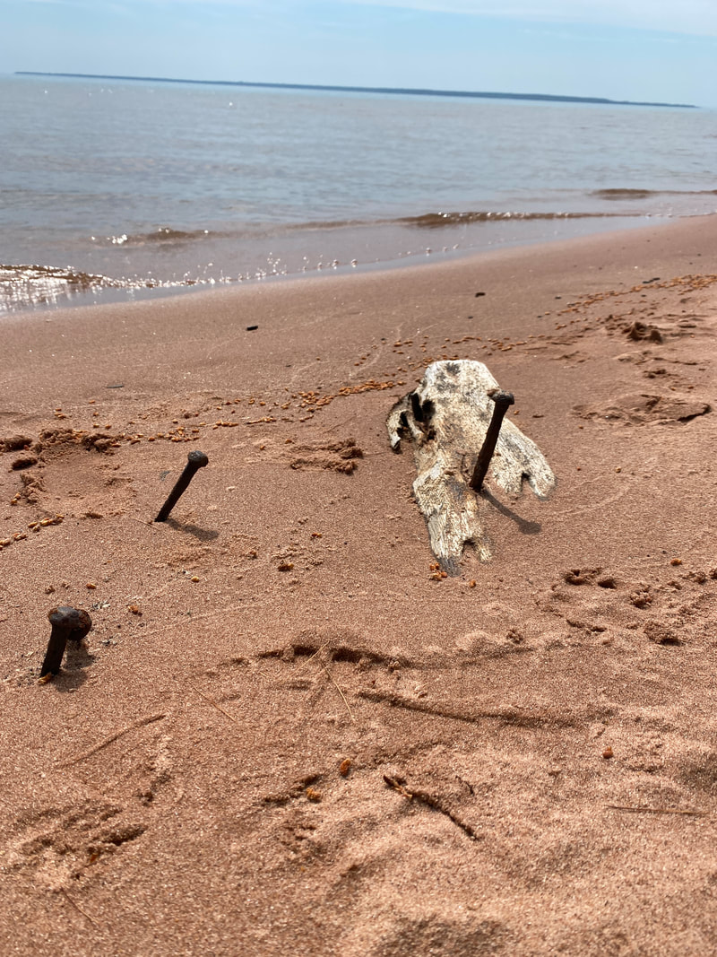
- Ship wreckage to explore
- Easy trail for a day hike
- May have to wade across the lagoon outlet
- Sail and power boaters commonly anchor off the beach
- Maybe the best beach in all the great lakes
- Ship wreckage to explore
Tombolo Trail
(2.8 Miles)
The Tombolo Trail to Julian Cove was my personal favorite trail on our trip to the Apostles. Coming in at just under 3 miles, it makes for a great day hike, but in reality, you'll want to plan a FULL day to really enjoy all this part of Stockton Island has to offer. Pack a swim suit, lunch, and snacks and make this a destination.
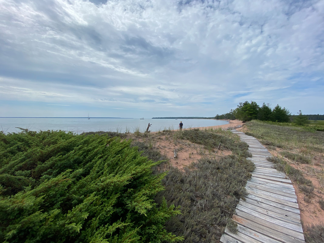
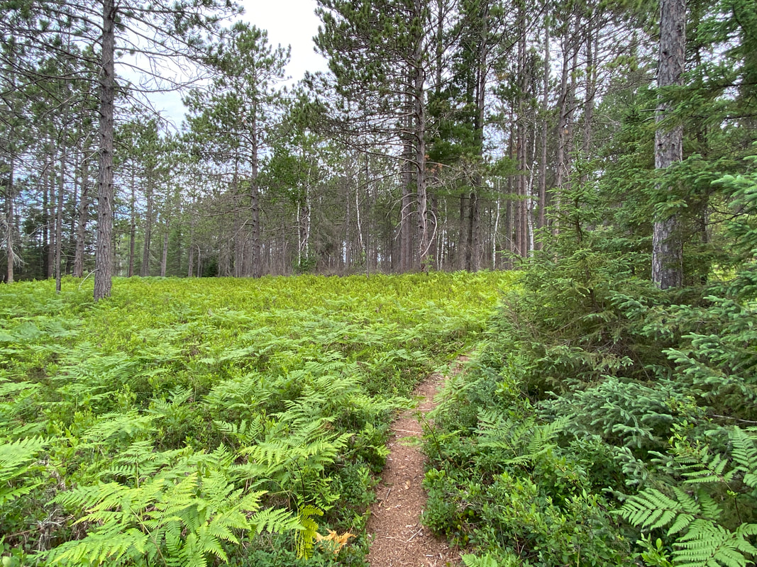
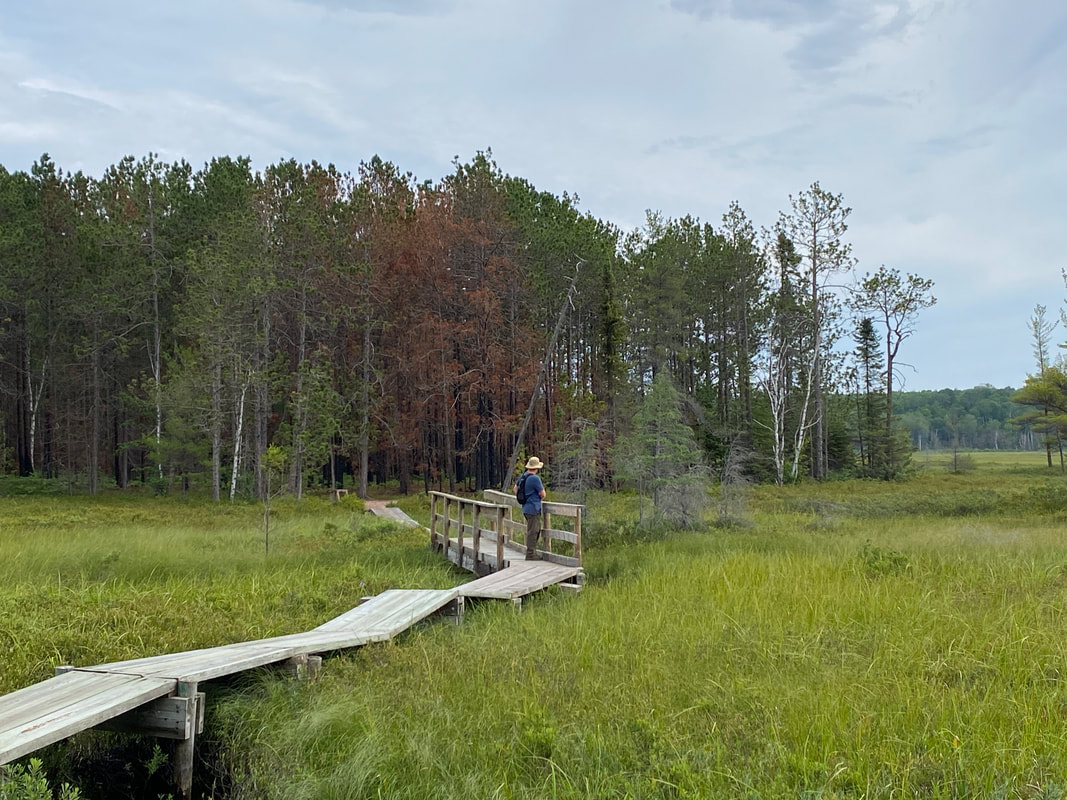
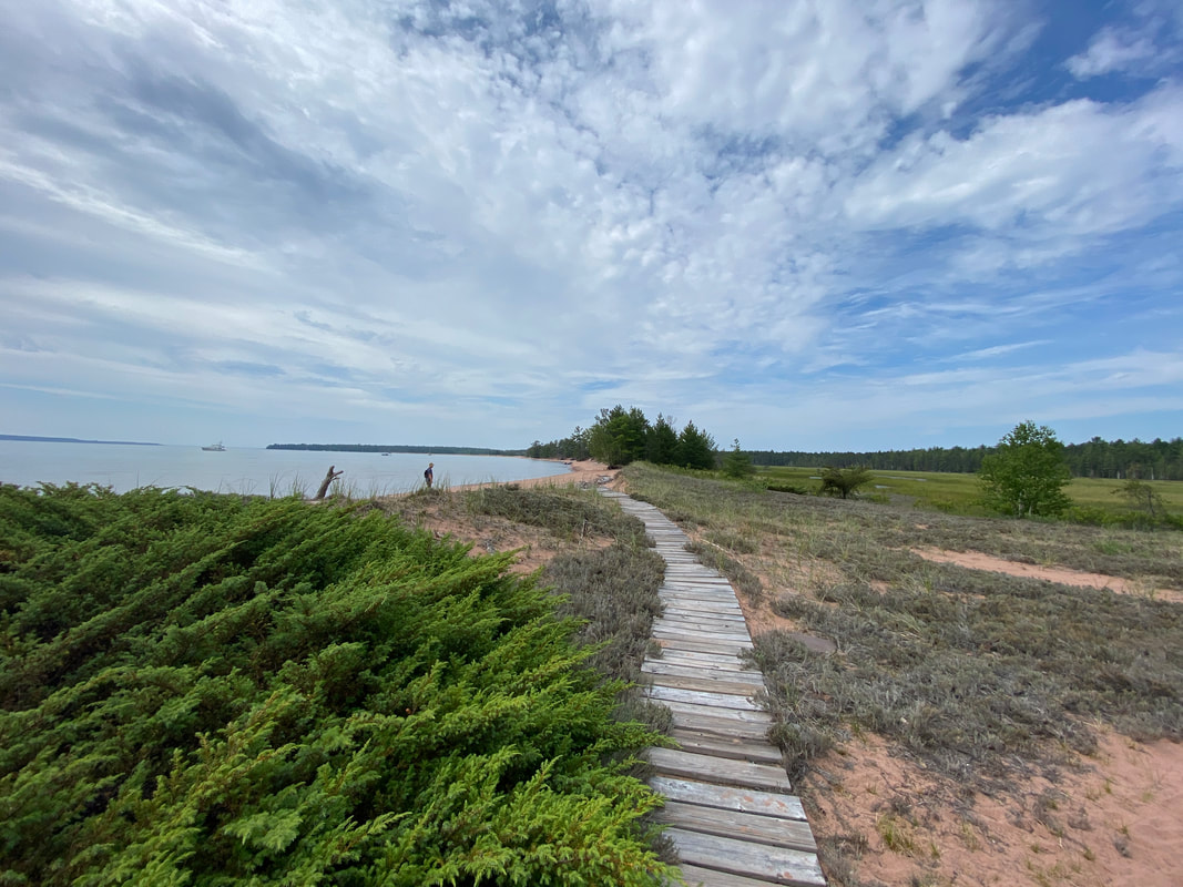
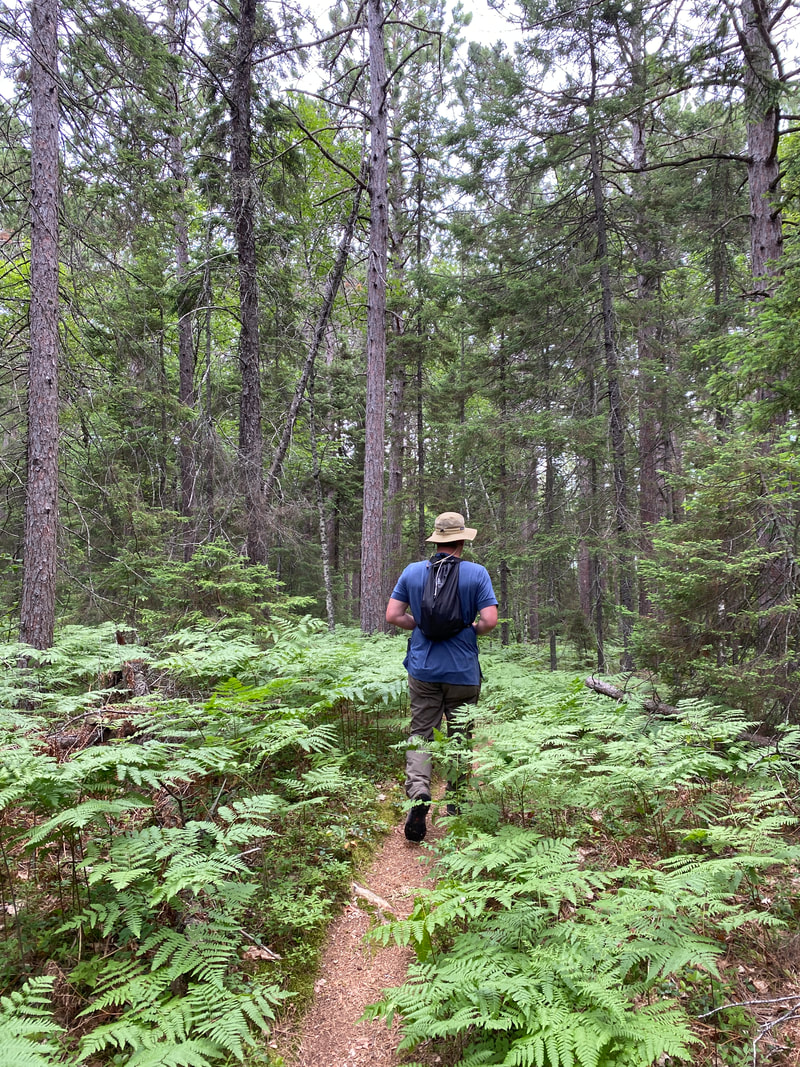
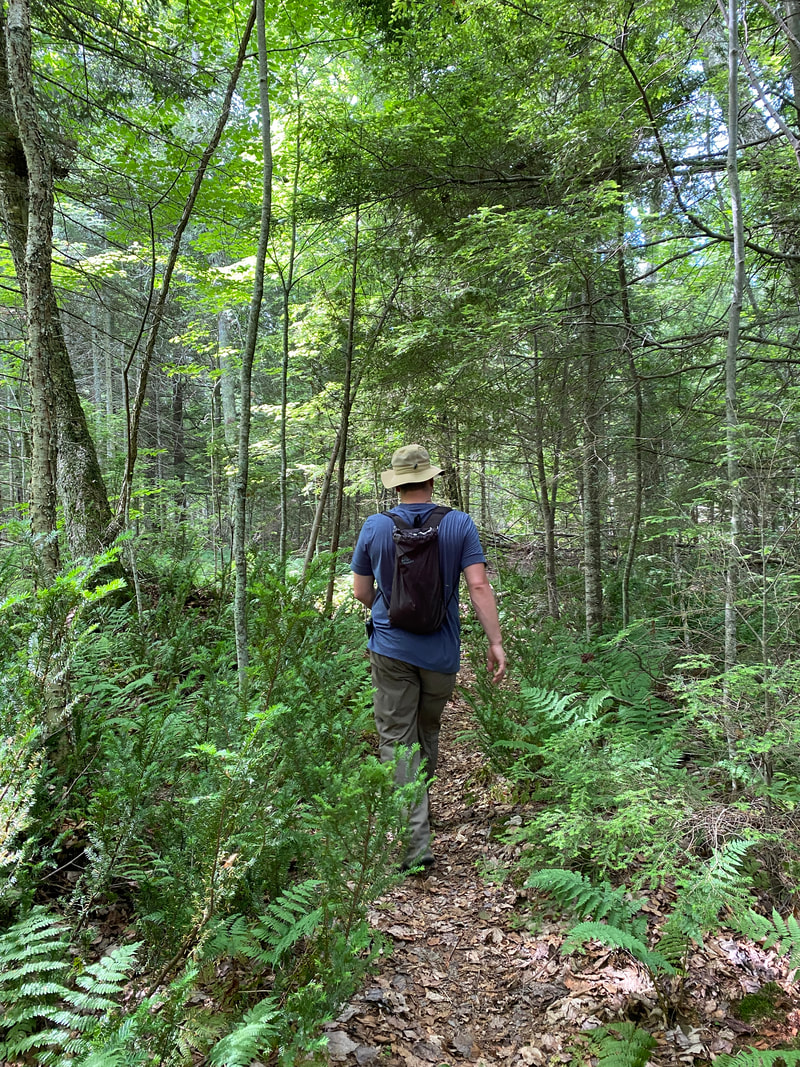
The Tombolo Trail loops from the ranger station to the far side of the campground and can be started from either side; however, we recommend starting just past campsite #19. Starting there will take you through a pine forest with lush ferns that grow waist high and blanket the forest floor alongside the path. This trail is relatively flat and well maintained, so it makes for quick traveling. After meandering through the forest, you will pop out into a marshy lagoon where the island drains into the lake. This wide open expanse has numerous waterfowl, shorebirds, and fauna, which makes for great viewing. The park service has built boardwalks, bridges, and benches for hikers to get the most out of this area.
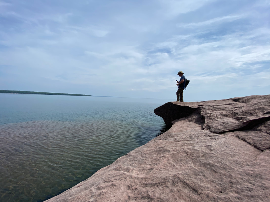
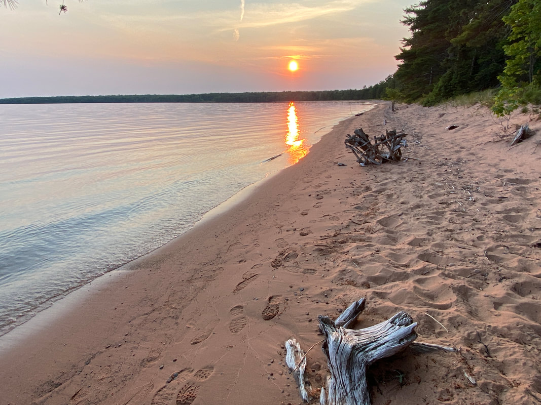
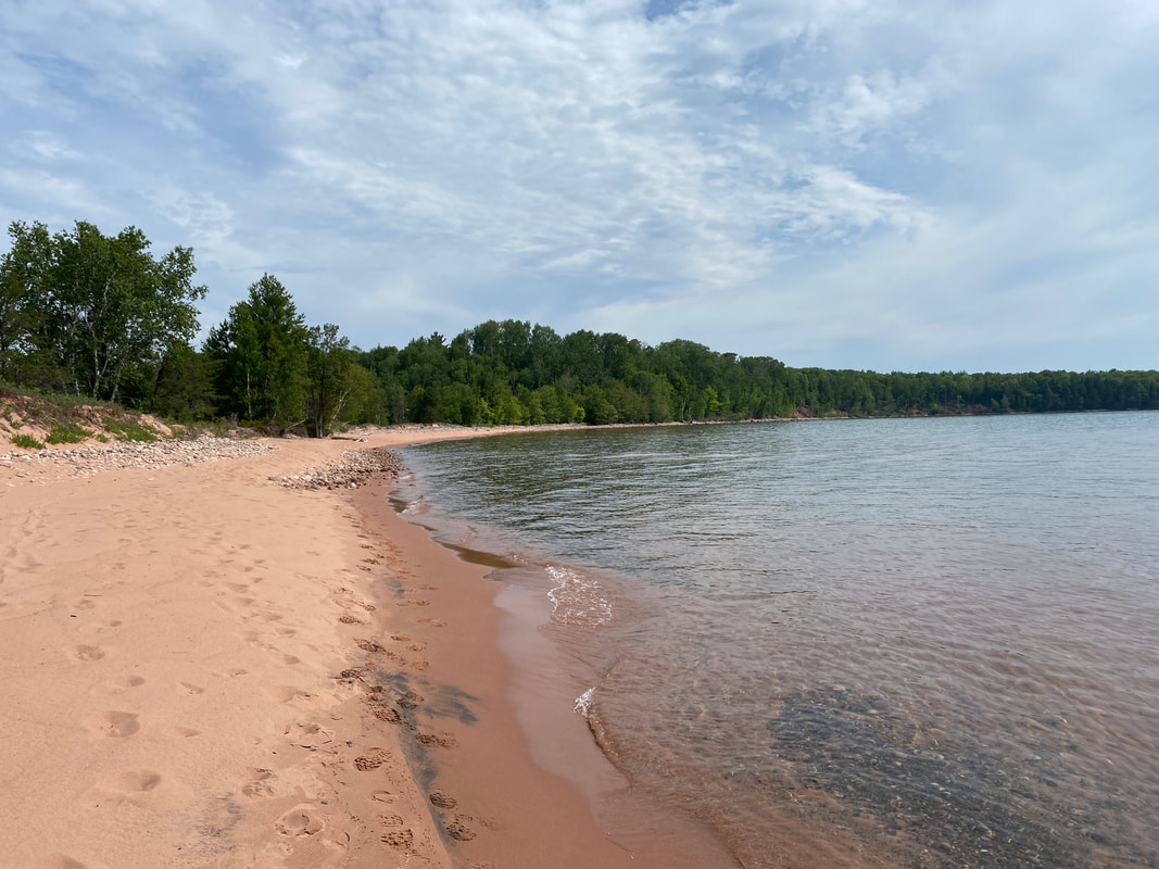
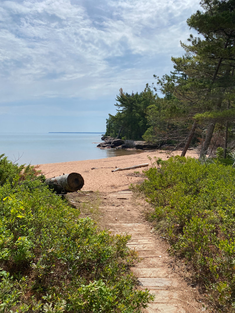
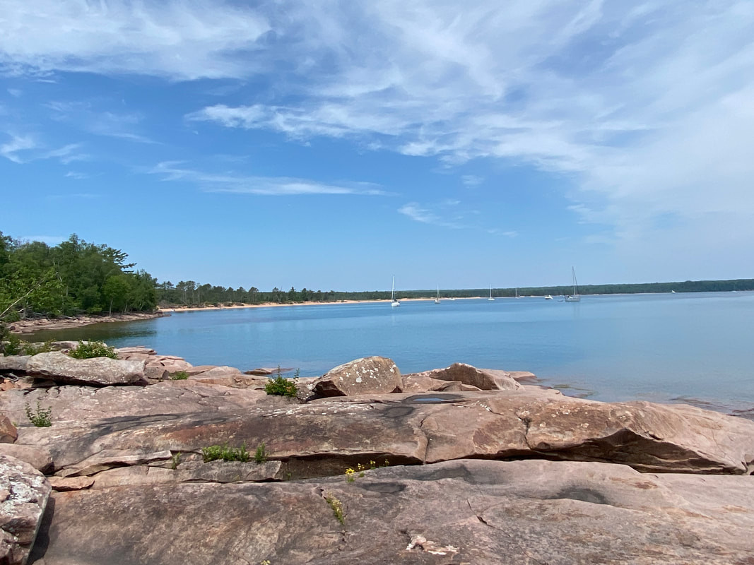
After this, hikers will curve around and pop out onto the beach of Julian Cove- a protected and shallow, with a pristine sand beach. This is where you should plan to spend your day. Sailboats pop into the cove and there is a lot to watch. It is a gently slope to the water and there is a lot of space to spread out; everyone gets a perfect spot. Walking the length of the beach will connect you back to the eastern edge of island where the typical rocky outcropping and wave battered Lake Superior coasts return. However, what makes Stockton Island special are the number of jumping spots there are. If you luck into a calm, warm summer day, these rocks offer numerous safe spots to jump into the lake and safely exit.
If you are not as adventurous, simply spread out your towel and take it all in.
The return portion of the Tombolo Trail takes you on a quick trip back to the ranger station, and a return to your boat, campsite, or water taxi. We will absolutely revisit this amazing location.
|
|
|
Anderson Loop Trail
Key Features:
- Loop around the Presque Isle portion of the tombolo
- Short easy hike
- Nice lake views
- Rocks could be swept over with water during high winds / storm
- Loop around the Presque Isle portion of the tombolo
- Short easy hike
- Nice lake views
- Rocks could be swept over with water during high winds / storm
Anderson Loop Trail
(1.5 Miles)
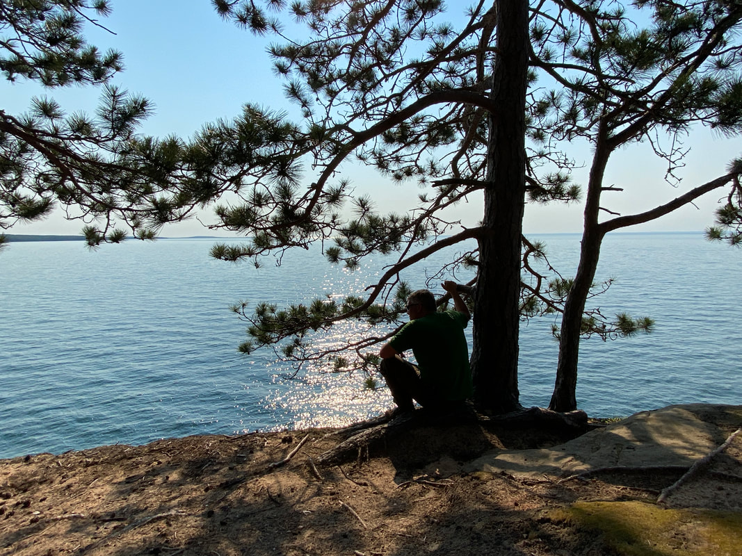
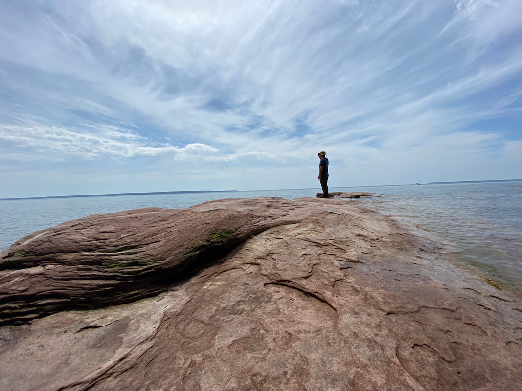
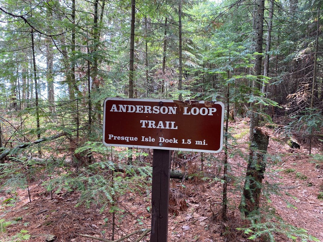
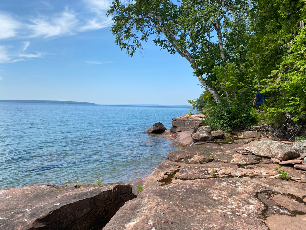
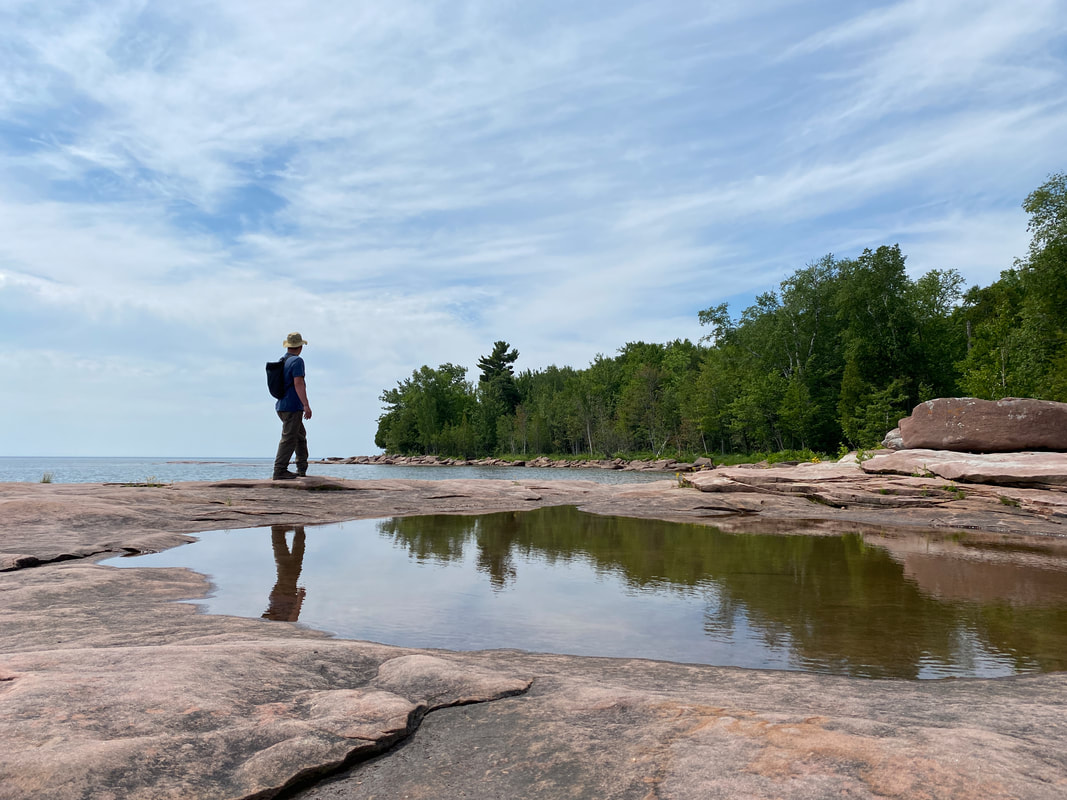
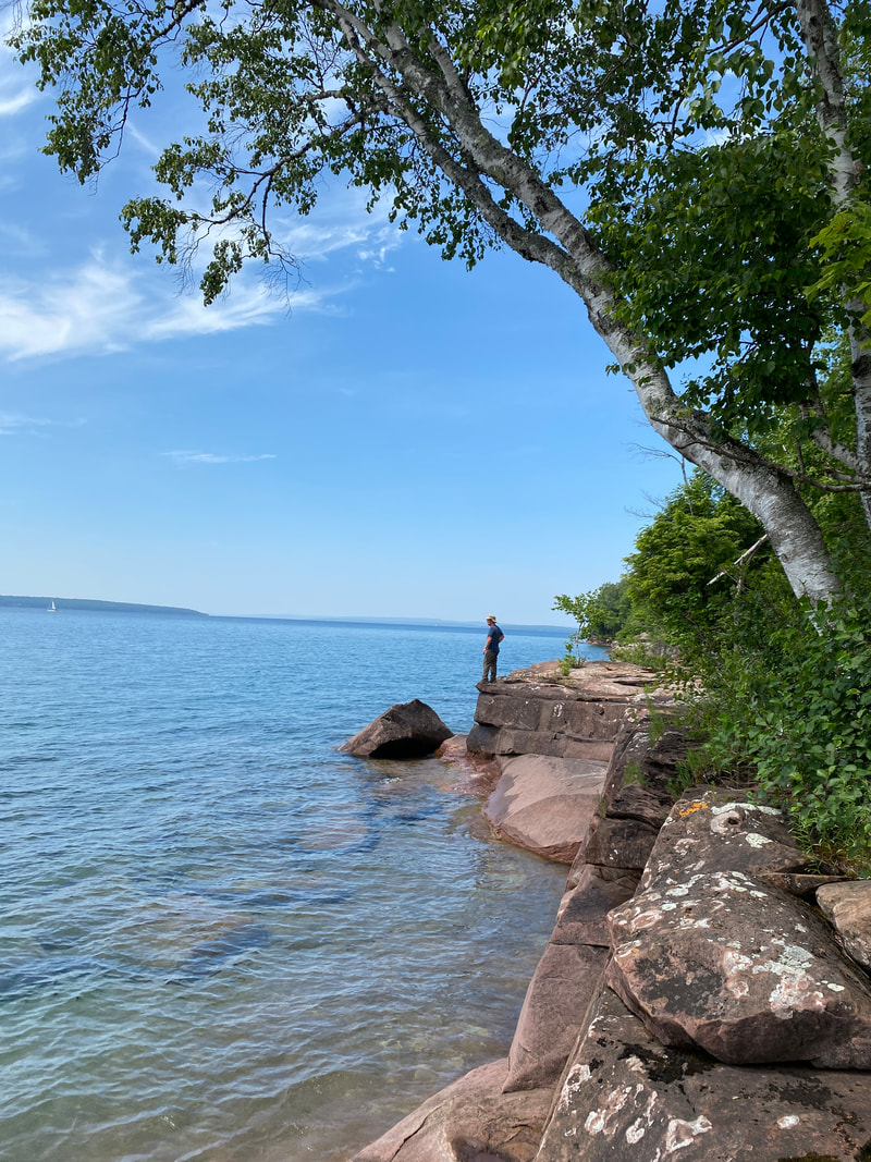
The Andersen Loop Trail is a short trail that allows hikers to hike right along the eastern tip of Stockton Island along the Presque Isle Point. Most hikers probably combine this hike with the Tombolo Trail, but it can be a short excursion from your boat or campsite all on its own. This trail snakes in and out of the pine boreal forest to give you views of the Apostle Islands and Lake Superior, south and east of the island. It is classic Lake Superior terrain with massive rough rock outcroppings that Lake Superior waves pound and the ice weathers. There is not one single destination point on this trail, but rather numerous spots to stop and spend time or take photos. If you hike the trail in early morning, you can probably catch a great sunrise photo from this trail. During the day, enjoy watching sailboats round the island on their way to Madeline Island or back to Bayfield. As far as footwear goes, be sure to wear something more substantial that a flip flop so you can rock hop and scramble as necessary.
|
|
|
Lake Shore Trail
Key Features:
- Only trail on the main land
- Access to the only main land backcountry campsite
- Views from above the sea caves
- Hiking along high cliffs near the big lake
- Easy parking near Meyer's Beach
- Only trail on the main land
- Access to the only main land backcountry campsite
- Views from above the sea caves
- Hiking along high cliffs near the big lake
- Easy parking near Meyer's Beach
Lakeshore Trail
(6 Miles)
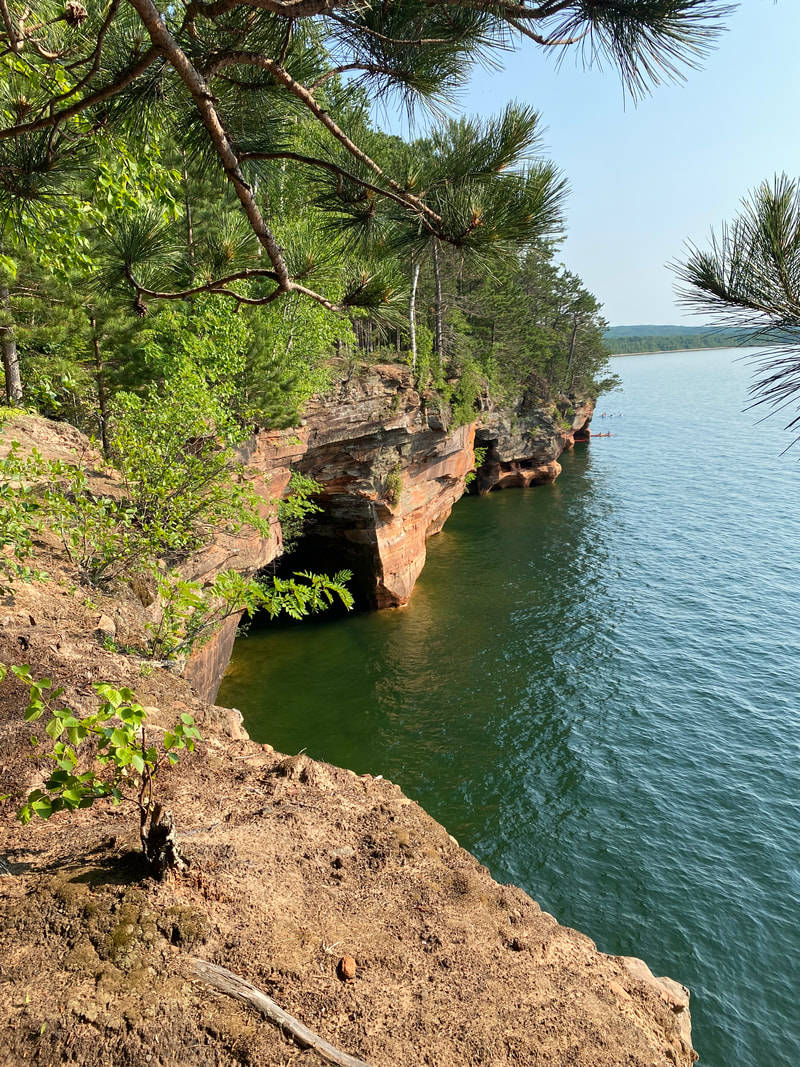
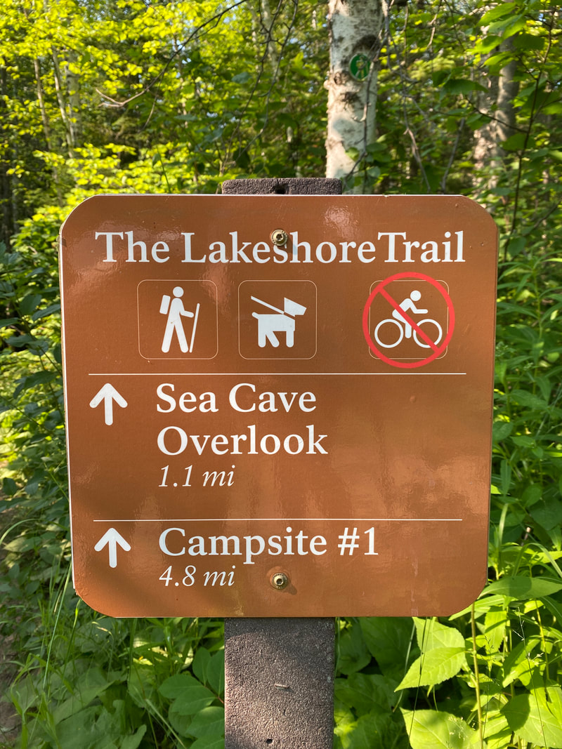
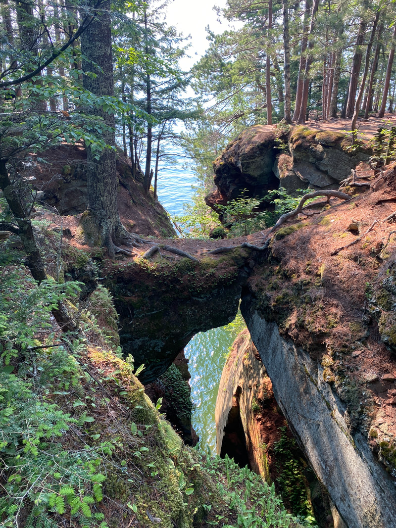
If the weather's not right for a paddle of the famous Apostle Island sea caves, or if you lack the experience or nerve to chance it... or if you simply don't want to pay through the nose for a guided tour, the Lakeshore Trail will get you to the terra firma topside of the caves. This is a quite popular trail, so plan on crowds and little wildlife viewing. This trail will take you a full 6 miles, but most hikers opt for about a 3 mile round trip, simply to see the highlights of the shoreline, which comes about a mile in and extend over the next 1/2 mile.
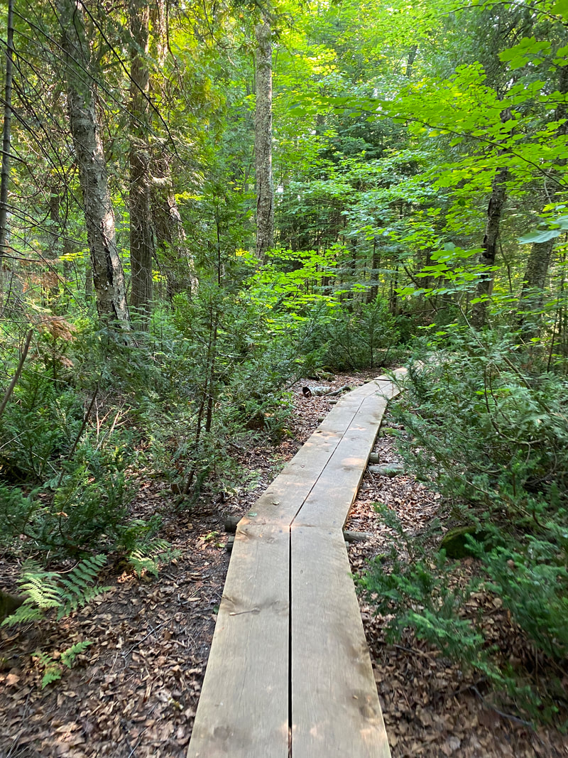
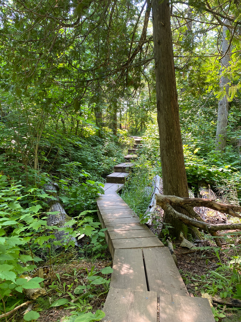
This trail begins with boardwalks, tucked in the small growth forest, so there is little to see as you plug along to cover some distance. You'll know you are getting near the sea caves when the terrain switches to some steep up and down valleys and gullies. This is a moderate hike by normal standards, but many tourists get in over their heads if not prepared with water and appropriate footwear. One such traveler had to be hauled out via rescue rangers the day we were hiking, which I'm sure in the 90 degree heat was unfortunate for all involved.
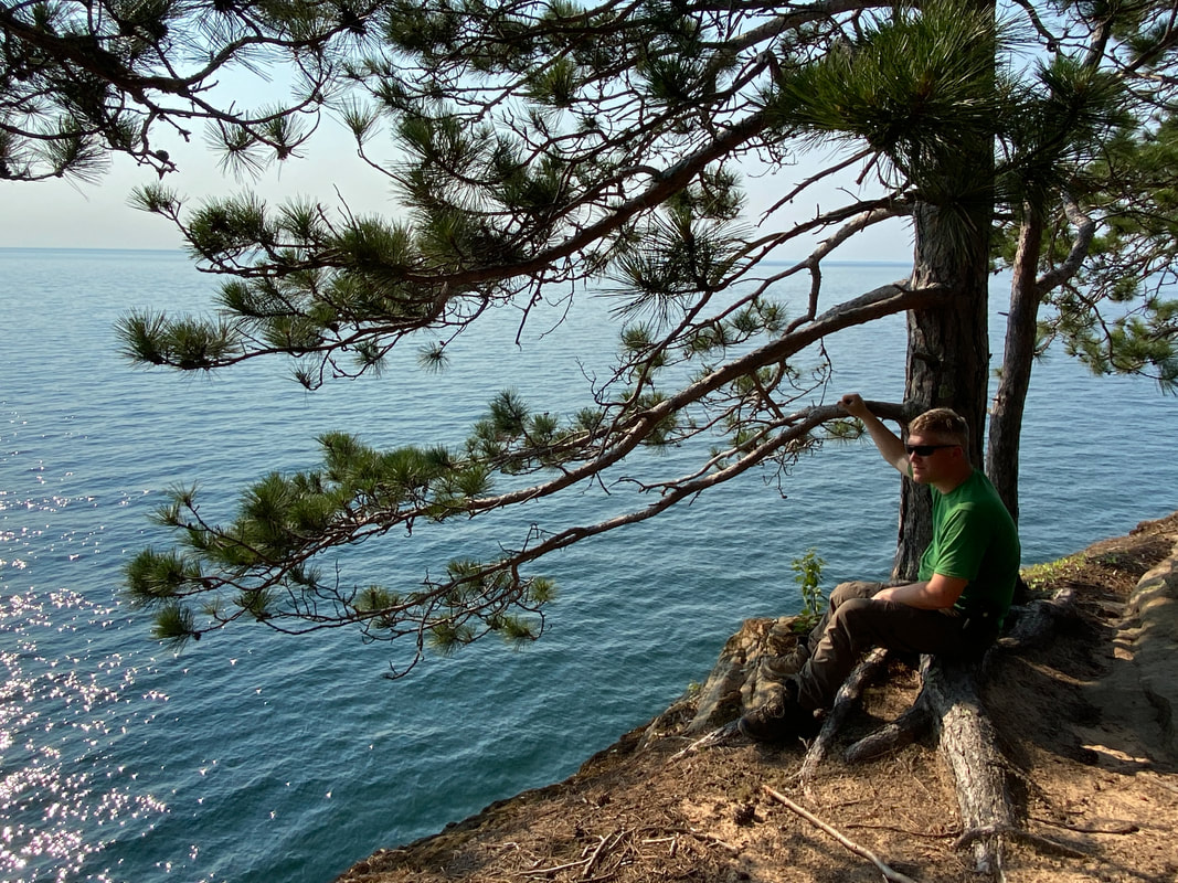
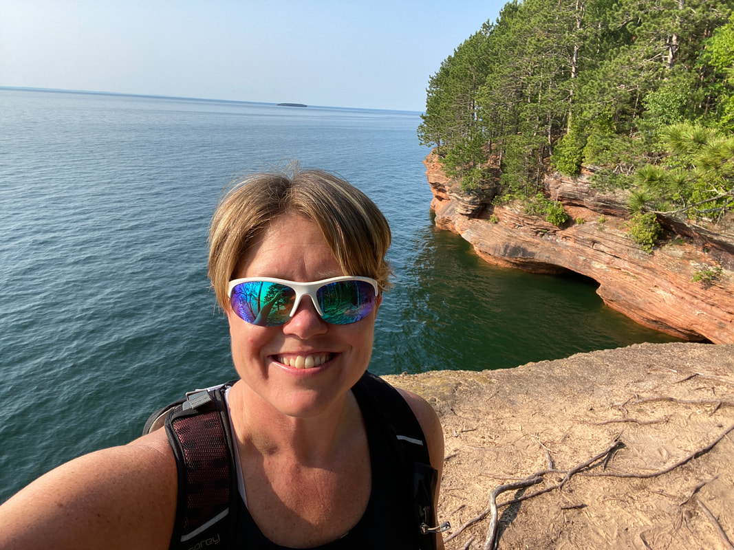
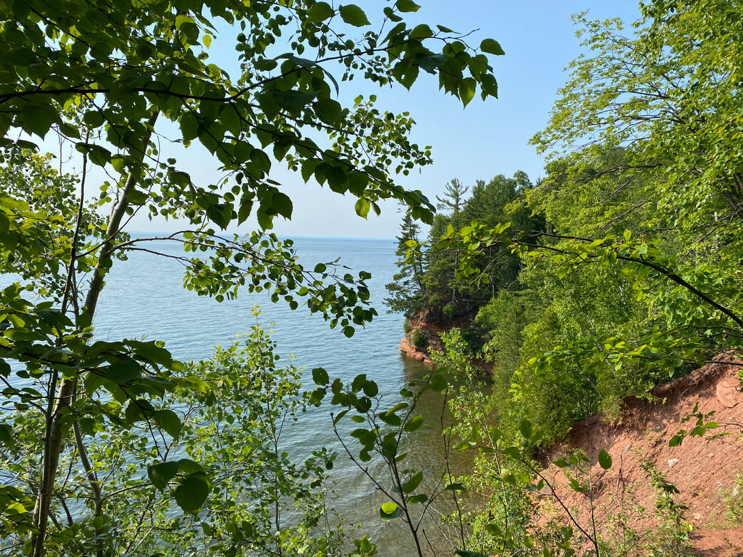
The classic red rock of the Apostle Islands is the highlight of this hike. From high on the bluffs, you can see the expanse of Lake Superior and watch the weather and waves roll in and batter the shoreline. We lucked into a calm day and enjoyed watching the kayakers make their way through the gentle waves, exploring the coast.
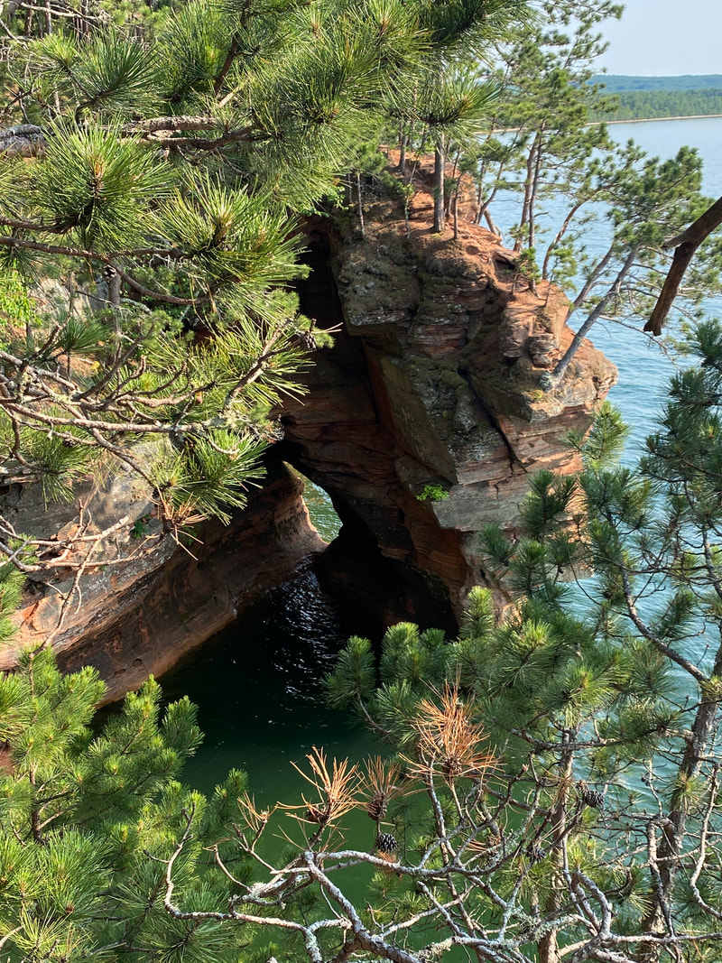
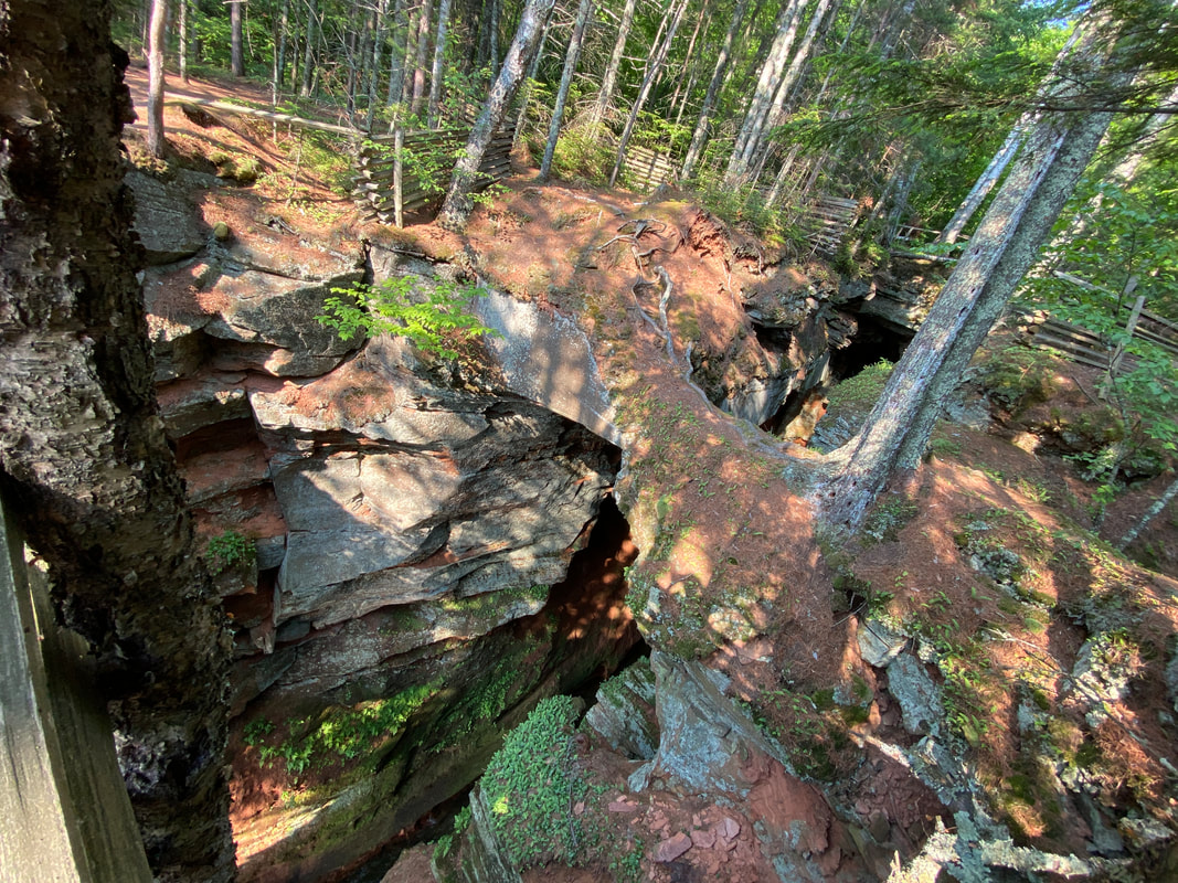
When you finally reach the highlights of the trail, you will be able to walk right up to the edge and peer down or over at the sites. There are small arches, narrow cracks, and long cliffs. You never quite get the perfect shot from the angle above, but you definitely get a feel for the area. I'm certain peering up at the high walls and creeping into the crevasses is a much better experience, but some times your plans just can't make that possible, so this is a great back up plan.
The highlight spot is a deep crack that extends well into the shoreline and from above, you can hear the echo off the walls as the waves churn inside. Paddlers can creep deep into the crack and hikers can watch their progress from above. This area is marked heavily warning of the possibility of the rocks to sheering off into the lake. This warning was heightened as just days before video from the Pictured Rocks showed this exact event, sending massive chunks of land into the lake and creating a large wave putting boaters at risk. We made sure to give a few feet of land without peering over the cliffs too close for safe viewing. This trail will not make our top 10 list, but was a good option while in the Apostles, which has fewer hiking options in general.
|
|
|
